
Tagong Guide
Kham grassland town between Kangding and Litang, with a Sakya monastery
1 selected
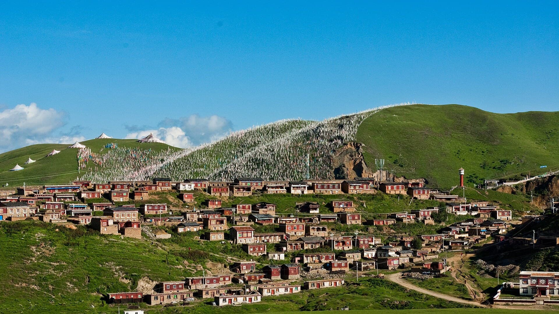
Tagong, Lhagang in Tibetan, is a small town in Garzê Tibetan Autonomous Prefecture, western Sichuan, in historical Kham. The town sits at about 3,700 metres. Around it the grassland covers 712.37 square kilometres at 3,900 metres, with nearby Mt Yala, also Zhara Lhaste, at 5,820 metres. Kangding city administers the township. The postcode is 626000. The name is read as a place a bodhisattva liked; the township is pastoral, and a Sakya monastery sits on the street.
Kangding is the river town where most long-distance buses actually start. Litang sits farther west on the same high road. You stop in Tagong, roughly halfway between them, for grassland, Tagong Monastery, and a slower Khampa street than either of those.
One afternoon covers the gompa and a walk onto the grass. One or two nights fit if you walk toward the nunnery ridge, a nearby village, or a hill for the sunset on Zhara Lhaste. A week only on the main street is too much street. Horse treks appear on older travel pages; treat those notes as old, not as a current tariff, and do not quote a stale yuan figure.
The town is walkable. There is no passenger airport here. Shared minibuses (面的) leave Kangding in the morning; check the destination in the window. Official buses toward Garzê use the same corridor, and you may pay a through fare even if you get off here. Fares change. Confirm the morning you travel.
You come for the monastery, the grass, and a night instead of Kangding. You will not find a prefectural city or a beach. You do not need a car inside the streets. You do need a morning shared minibus from Kangding, cash in yuan, and a first day that does not start with a fast climb.
History
The name is read as a place a bodhisattva liked, and the township as a pastoral one. Tagong Monastery sits among the important gompas of Pel Lhagong, founded with reference to the sacred mountain Yala, Zhara Lhaste, at 5,820 metres. The fabric dates to the Ming and Qing, with a 1996 Sichuan provincial listing. You are in Kham, not a suburb of Kangding. The grass, 712.37 square kilometres at 3,900 metres, is why a Kangding-Litang van still stops. The monastery follows the Sakya school. The street learned to take overnight visitors. That is the sequence, not a ranking.
Eating
Kitchens here follow a Khampa highland pattern: barley flour in tea, yak, a bowl of noodles, butter tea. If you arrive late, do not count on a choice of tables. Eat earlier, or carry something from Kangding. If you walk the grass, take food. Thin air makes a skipped meal harder than it looks from a lowland kitchen. Try a small cup of the local mix before you order a jug.
Getting there
The way in is Kangding. Shared minibuses (面的) leave in the morning; check the destination in the window. Official buses toward Garzê pass the corridor, and a Garzê through ticket can be the price you pay even if you get off here. Older pages quoted taxi and horse-trek prices. Those figures are old. Fares change. Ask at the morning rank, not at a 2011 table. There is no useful passenger airport in town. Kangding is the road hub. Litang is the next west stop, not an arrival. Minibuses toward Ganzi still leave from the main road in the morning on older notes. Confirm the window the week you go.
Getting around
The town is small enough to walk. You do not need a bus to cross it. You do need your own legs for the grass, the stupa by the monastery, and the ridge walk toward the nunnery, about nine kilometres each way, mostly flat, with a ridge near 3,950 metres if you take that line. Xiangnong village is about four kilometres upriver from the monastery bridge. People hire motorbikes on the street if the walk is too much. If hills or thin air are a problem, the grass is already work. Watch dogs on the grassland, and ask before you leave the road.
Money and connection
In China you pay in yuan (CNY). Phone pay is common in Kangding. Bring cash from Chengdu or Kangding, because a small till on the grassland may still want notes. Emergency numbers are 110 for police and 120 for ambulance. Plugs follow the Chinese Type A, C, and I pattern at 220 V. Download an offline map in Kangding. Signal is weak on the grass and on the ridge.
When to go
Start with the altitude. The town sits at about 3,700 metres; the grassland sits at 3,900. There is no separate climate table for these streets. Treat the year as highland Sichuan: thin air in every season, a harder winter, greener grass after the rains. Acclimatise. Do not climb the nunnery ridge the afternoon you arrive from a low city. Ask before you photograph people and courtyards. Shoes off if you are invited in. Tibetan or Putonghua at counters. Evenings in this lived-in village stay quiet. Watch dogs on the grassland as a practical note. What usually goes wrong is treating Kangding as this town, starting a nine-kilometre grass walk at midday after a dawn van, and mixing Litang's high street with this gompa. Check the morning rank twice.
FAQ
What is covered in the Tagong guide?
Tagong in western Sichuan: Lhagang grassland, Tagong Monastery, shared minibuses from Kangding, altitude, and how it differs from Litang. It includes 1 recommendations across 1 gallery.
Next →How many places are in the Tagong guide?
The Tagong guide lists 1 places: 1 gallery.
Next →Where is Tagong?
Tagong is in Sichuan, China (30.3193, 101.5230).
Next →How do you get to Tagong?
The way in is Kangding. Shared minibuses (面的) leave in the morning; check the destination in the window. Official buses toward Garzê pass the corridor, and a Garzê through ticket can be the price you pay even if you get off here. Older pages quoted taxi and horse-trek prices. Those figures are old. Fares change. Ask…
Next →What should you eat in Tagong?
Kitchens here follow a Khampa highland pattern: barley flour in tea, yak, a bowl of noodles, butter tea. If you arrive late, do not count on a choice of tables. Eat earlier, or carry something from Kangding. If you walk the grass, take food. Thin air makes a skipped meal harder than it looks from a lowland kitchen.…
Next →Is there camping in Tagong?
No camping listings in this pack yet — we do not invent venues. Entries will appear once verified.
Next →Can you rent a bike in Tagong?
No bike rental listings in this pack yet. Verified shops will be added when available.
Next →What are recommended gallery in Tagong?
Highlighted gallery in the Tagong guide: Tagong grassland.
Next →Highlighted places
- Tagong grassland — Pastoral township in Kangding city, Garzê Prefecture, Sichuan.
Explore on the map
Tap a pin to highlight its place card
All
1 spots
Recommended places
Gallery
1 · 1 selected
Tagong grassland
gallery
Related guides
Browse nearby destinations
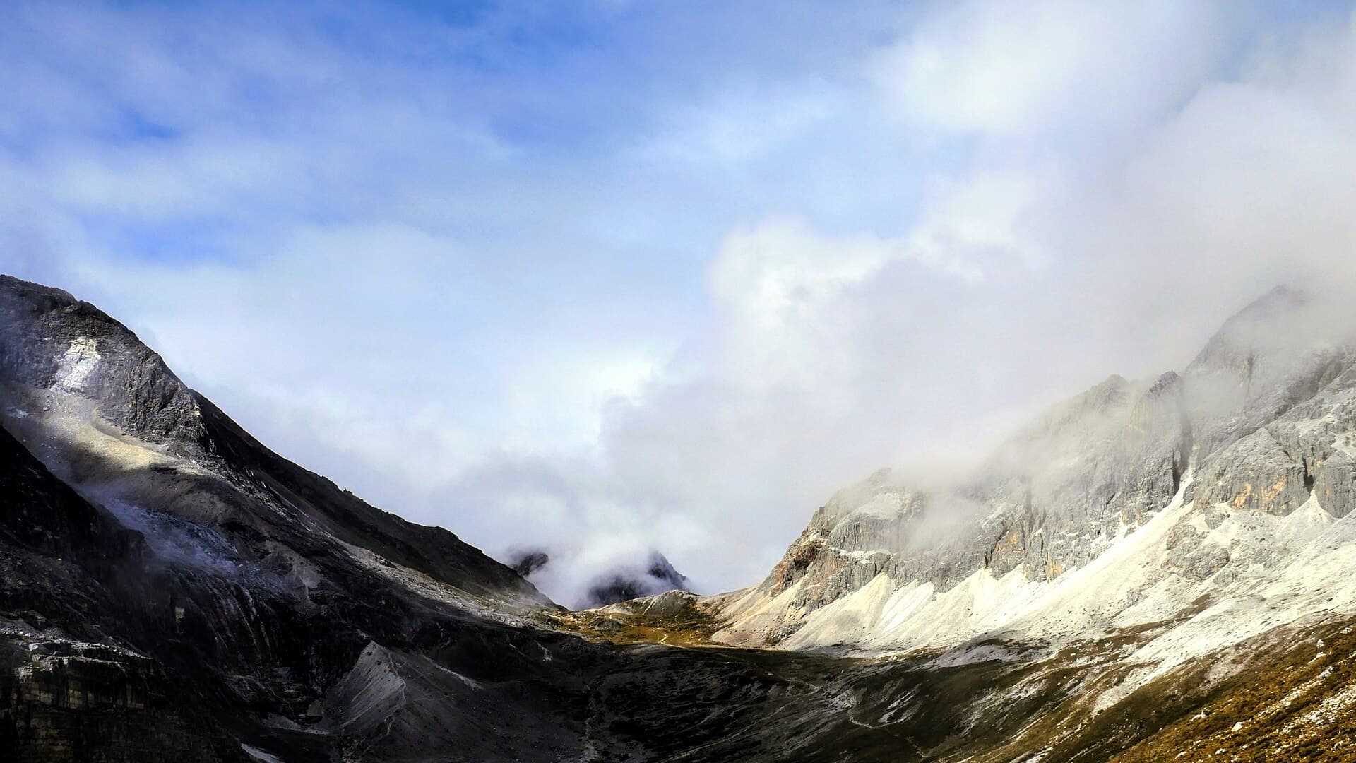
Riwa Guide
Sichuan, China
Shangri-La Town in Daocheng County, the usual overnight before Yading
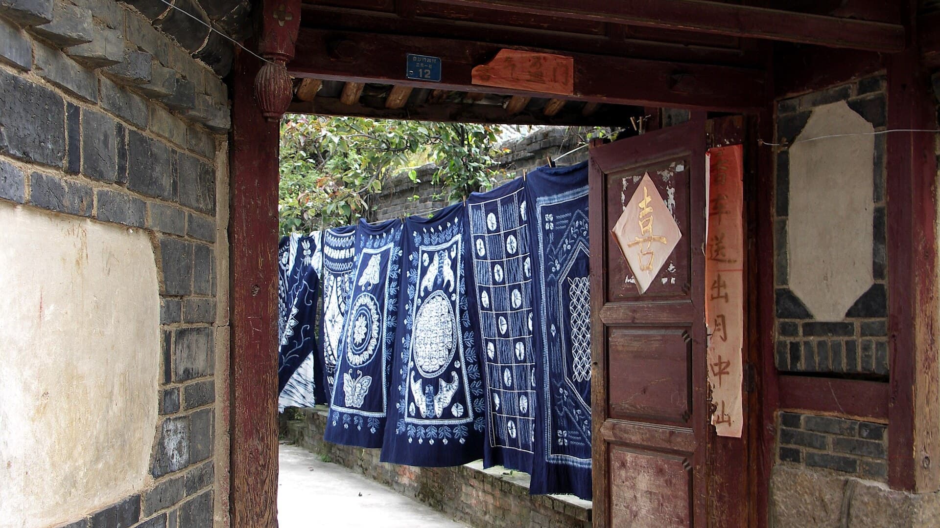
Baisha
Yunnan, China
Naxi town 12 km north of Lijiang Old Town, quieter than Dayan
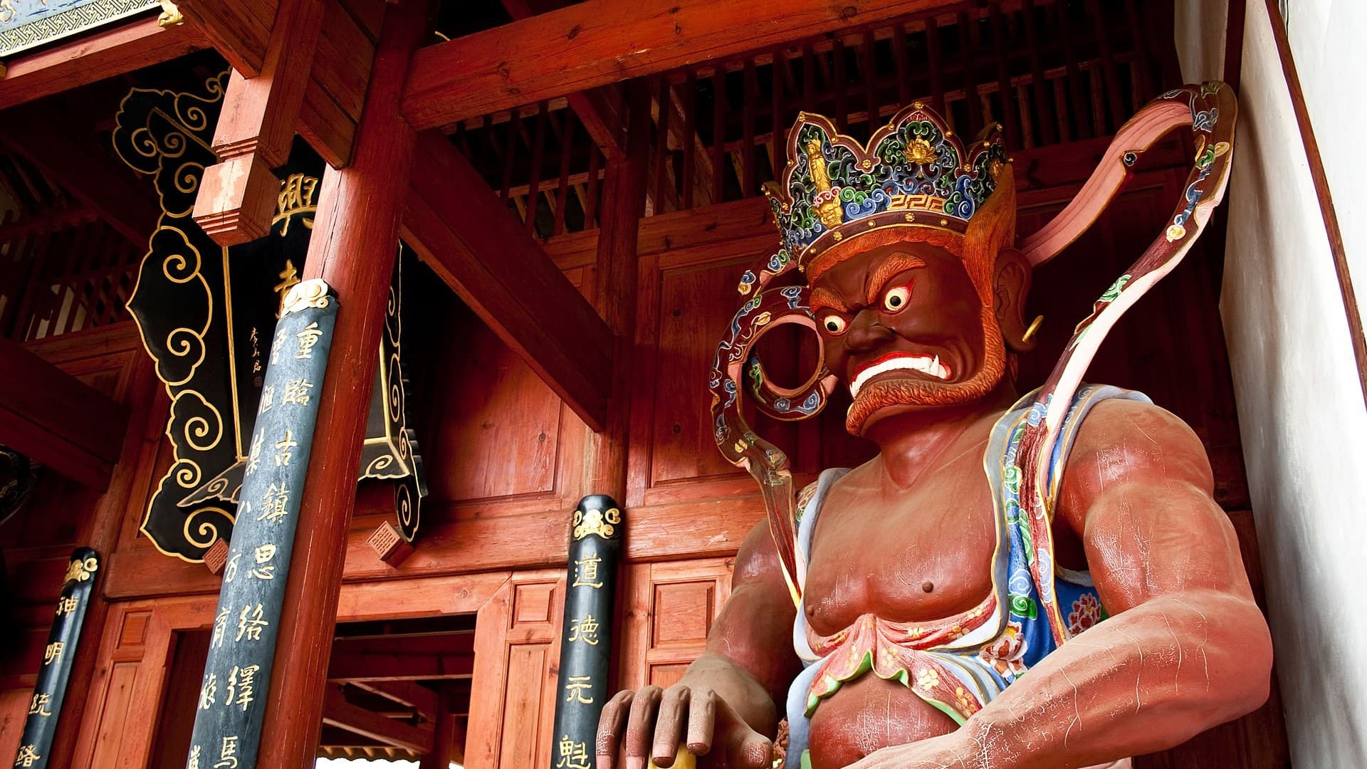
Shaxi Guide
Yunnan, China
Walk Sideng square between Dali and Lijiang, not the old town grid of Dayan
Shuhe Guide
Yunnan, China
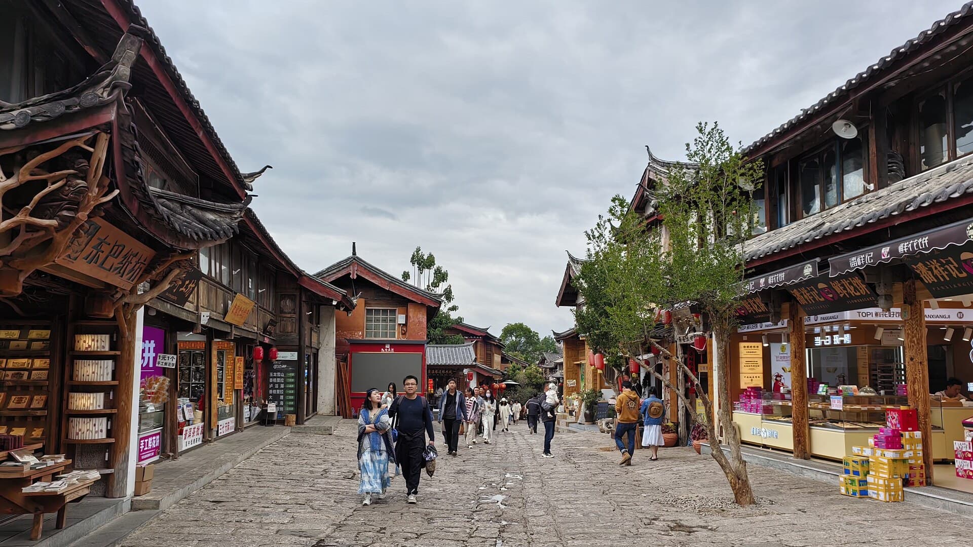
Canal town west of Lijiang Old Town, not Baisha and not Shaxi

Yubeng Guide
Yunnan, China
Twin villages under Meili Snow Mountains, a hiking base in Deqin County
Zhuge Bagua Village Guide
Zhejiang, China
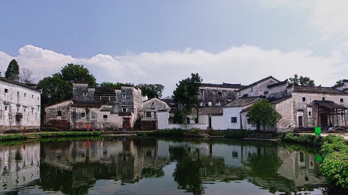
Ming clan village on a bagua plan in Lanxi, Zhejiang, not the Anhui Huizhou pair

Save these places to your list
Copy the spots you picked into your list — maps and notes included.