
Dúrcal Guide
Walks along the Río Dúrcal in the Lecrín Valley
1 selected
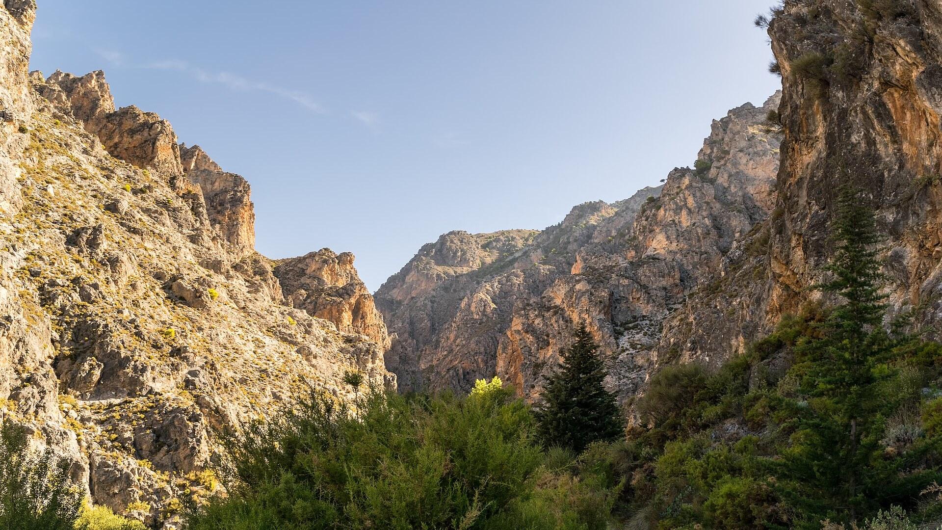
Dúrcal is a municipality in the north-eastern part of the Valle de Lecrín, in the Province of Granada in Andalusia, Spain. Dílar, Lanjarón, Nigüelas, Villamena and Padul are its neighbours. Much of the municipal area lies inside the Sierra Nevada National Park.
The village is regarded as the traditional and historical capital of the Lecrín Valley, a comarca in central-south Granada province that the Government of Andalusia established in 2003. Eight municipalities make up the valley: Albuñuelas, Dúrcal, Lecrín, Nigüelas, Padul, El Pinar, El Valle and Villamena. With 76.63 km2, Dúrcal is one of the larger ones, and Marchena counts as its other district.
Melt-water from Sierra Nevada feeds the green landscape of the valley, and the views reach Lake Beznar and the mountains above it. To the north lies the Vega de Granada, to the east the Alpujarra Granadina, to the south the Costa Tropical and to the west Alhama. Walkers, bird watchers, cyclists and artists increasingly come here for a quiet holiday among orchards, within easy reach of Granada and the Costa Tropical.
The Ruta de los Baños de Dúrcal begins at the Parque de la Estación and heads down the calle del Calvario toward the river. From the village it drops to the water and follows it up to the Baños de Urquízar. The listing gives 9 km, about three hours, 152 m of ascent and medium difficulty.
Several water mills line the way: one restored 18th-century mill, one in ruins and one with its millstones on view. The path crosses the river at the Roman bridge, where another restored mill waits on the far side, and later crosses twice more on wooden bridges. Past those bridges it keeps to the river through poplar groves and orchards of apple, quince and pomegranate trees.
The castle of the Peñón de los Moros stays in view while the route approaches the baths along the paved road. The Baño Chico, also called Baño de Urquízar, offers two small pools where you can bathe, with water at about 24 degrees. Beside the same river the Baño Grande, also known as Baño de Vacamía, wells up separately.
Puente de Lata is a metal bridge over the Río Dúrcal, popular for walks and recreation, and its surroundings suit hiking and birdwatching. Nearby in Nigüelas, the 16th-century church of San Juan Bautista holds a collection of sacred art and has a bell tower with panoramic views. In Pinos del Valle you find the Castillo de Zoraya, an old Arab fortress with views over the valley, and the Ermita del Zapato, a 19th-century hermitage on a hill that looks like a shoe from some angles.
From Neolithic settlers to the Rocío Dúrcal statue
Dúrcal has been inhabited since the Neolithic age, as archaeological finds show people living in the area from 4500 BC. Finds along the Río Dúrcal mark it as a natural passage between the Mediterranean coast, La Alpujarra and the Granada area. Phoenicians, Greeks, Carthaginians and Romans all settled here, and Roman-era artifacts from the area are kept in several museums nearby. Moorish rule lasted from the 8th to the 15th century, and in that time Dúrcal and the Lecrín Valley formed a busy agricultural centre protected by forts and walled areas. Farmers grew citrus fruits and mulberry trees for silk. The name Dúrcal comes from the Arabic Durkar, although its meaning is unknown. Lecrín derives from the Arabic Iqlim, meaning gateway, and points to a small area between Mondújar and Talará that controlled access to the coastal sugar lands in Moorish times. In 1491 everything built in the Lecrín Valley around Dúrcal was destroyed as the Catholic Monarchs began their reconquest, and Granada fell in 1492. The expulsion of the Moors ended in 1571. After it, economic life in Dúrcal halted, with agriculture and crafts coming to an end. The singer and actress Rocío Dúrcal took her stage name from the town, which she drew at random from a map of Spain. Dúrcal named a street after her and put up a statue of her in its main square, Plaza España. She came to the town on 15 August 1968, sang in the Echevarría gardens and was named adopted daughter. Her monument stands in the plaza where the Ruta de Nico Molina starts. On the Ruta de los Baños de Dúrcal you pass under the cable bridge, a reminder of the Dúrcal-to-Motril cable lift, and beside the lavaderos (washhouses) of las Fuentes. The Cable Dúrcal-Motril carried goods from 1925 to 1950. Up the valley, the Ruta de Nico Molina passes the ruins of the water drop of the San Antonio power plant from the early 20th century and the old Doña Juana flour mill from the late 19th century. Under the Puente de Lata stood La Molineta mill, which ground pine bark for tanning hides. The Torre de Cónchar was in sight contact with the castle of Dúrcal, close to the Camino de los Pinos route.
Eating around Dúrcal: crops, restaurants and a picnic spring
Dúrcal has a handful of named restaurants nearby, and the main crops of the Lecrín Valley beyond Dúrcal and Padul include pine, citrus, almond, olive and grape. La andaluza de la vega is a Spanish restaurant listed among the top restaurants in Dúrcal. El Molino del Puente and La Ruta de los Bolos also serve in Dúrcal itself. Café Bar Albudeiz is in Mondújar, and La Alquería de los Lentos is in Nigüelas. If you would rather bring your own food, the Camino de la Fuente del Hervidero in the Lecrín Valley is a relaxed trail through olive groves and pine woods to a natural spring. It suits a picnic.
Reaching Dúrcal by the A-44 and the old N-323
Dúrcal sits on the A-44 (Bailén-Motril) motorway, which crosses the Lecrín Valley from north to south and serves all of its municipalities. The valley lies halfway between the city of Granada and the Costa Tropical. Motorway exit 164 on the A-44 serves Pinos del Valle, Lanjarón and Béznar, near Dúrcal. The old N-323 road, which connected Bailén with Motril and linked Jaén and Granada with the coast, also runs through the valley near Dúrcal. The A-348 connects the whole Alpujarra Granadina with the A-44. The A-4050, popularly known as Carretera de la Cabra, links the mountain port of El Suspiro del Moro with Almuñécar and passes the Lecrín Valley.
Getting around Dúrcal on foot along its marked routes
On foot in Dúrcal, the return leg of the Ruta de los Baños de Dúrcal goes back under the double motorway bridge and enters the village past the ermita de San Blas. A short variant of the Ruta de Nico Molina starts lower down, in the Estación quarter, and runs along the calle del Calvario, a former camino real, between water mills. On that variant you can come back by a path up to the Pilar del Mono on the old road. The old camino real also reached the river by the cuesta de la Valdesa. The Ruta de Nico Molina is a circular walk along the Río Dúrcal and around the village, named after Nico Molina, a Dúrcal runner who was junior mountain-running world champion. It starts at the plaza beside the church and the 1866 pilar, then passes under the motorway on leaving the village. The route circles the hill of San Antonio, where the castle of the Peñón de los Moros stands with its mushroom-shaped tower, and climbs to a ridge with views in all directions. From the Baños de Urquízar you see the waterfall of the arroyo Alcázar when crossing the river. Along the way the route passes the motorway bridge, the Roman bridge, the Puente de Lata and the seven-arch bridge of the Isabel II road. It returns along the acequia de Márgena and the pago of Mahina, passes the Torre de Márgena and enters the village through a tunnel under the road. The Baños de Dúrcal, the Vacamías and Urquízar springs beside the river, lie about 1.8 km from its start. The Ruta Camino de los Pinos is a circular walk of about 10 km that starts and ends in Cónchar, in Villamena. Its start and finish is the Mirador del Concejo in the upper part of Cónchar, which the Ruta de las Fuentes also passes. The route reaches the Atalaya del Marchal, in the municipality of El Valle, also called the atalaya of Saleres. The castle of Dúrcal, an Andalusi fortress, lies about 1.9 km from the route, and the Baños de Dúrcal springs about 1.5 km. Melegís has a stone public washhouse and a balcony with sculptures at its exit, both listed near the route. In Padul, next to Dúrcal, the Ruta de la Laguna is a circular walk of about 5 km around the Laguna del Padul, with wooden walkways, waterbirds and wetland flora, and it suits families. In Nigüelas, the Ruta de la Pavilla is a circular walk of about 6 km through olive groves, orchards and mountain scenery. It follows the Arab-origin Pavilla irrigation channel, with views of the Lecrín Valley and Sierra Nevada.
Practical questions about walking near Dúrcal
Dúrcal's main route, the Ruta de los Baños de Dúrcal, passes under the motorway bridge about 2.8 km in and then follows the service road before taking the paved road to the baths. When is the best time to visit Dúrcal? The Lecrín Valley is known for spring colours and birdlife, so spring is a good season for visiting. How long is the Ruta de los Baños de Dúrcal? It is listed as 9 km, about three hours, with 152 m of ascent and medium difficulty. Where does the Ruta de los Baños de Dúrcal begin? It begins at the Parque de la Estación in Dúrcal and heads down the calle del Calvario toward the river. How long is the Ruta Camino de los Pinos? It is a circular walk of about 10 km that starts and ends at the Mirador del Concejo in Cónchar. Can you bathe near Dúrcal? The Baño Chico has two small pools where bathing is possible, with water at about 24 degrees.
FAQ
What is covered in the Dúrcal guide?
Discover Dúrcal, the historical capital of the Lecrín Valley: plan three official walks along the Río Dúrcal, past old mills, bridges and a hilltop castle. It includes 1 recommendations across 1 gallery.
Next →How many places are in the Dúrcal guide?
The Dúrcal guide lists 1 places: 1 gallery.
Next →Where is Dúrcal?
Dúrcal is in Dúrcal, Andalusia, Spain (36.9830, -3.5670).
Next →How do you get to Dúrcal?
Dúrcal sits on the A-44 (Bailén-Motril) motorway, which crosses the Lecrín Valley from north to south and serves all of its municipalities. The valley lies halfway between the city of Granada and the Costa Tropical. Motorway exit 164 on the A-44 serves Pinos del Valle, Lanjarón and Béznar, near Dúrcal. The old N-32…
Next →What should you eat in Dúrcal?
Dúrcal has a handful of named restaurants nearby, and the main crops of the Lecrín Valley beyond Dúrcal and Padul include pine, citrus, almond, olive and grape. La andaluza de la vega is a Spanish restaurant listed among the top restaurants in Dúrcal. El Molino del Puente and La Ruta de los Bolos also serve in Dúrc…
Next →Is there camping in Dúrcal?
No camping listings in this pack yet — we do not invent venues. Entries will appear once verified.
Next →Can you rent a bike in Dúrcal?
No bike rental listings in this pack yet. Verified shops will be added when available.
Next →What are recommended gallery in Dúrcal?
Highlighted gallery in the Dúrcal guide: The Dúrcal river valley.
Next →Highlighted places
- The Dúrcal river valley — Rocky cliffs and pines in the valley of the Dúrcal river above the village.
Explore on the map
Tap a pin to highlight its place card
All
1 spots
Recommended places
Gallery
1 · 1 selected
The Dúrcal river valley
gallery
Related guides
Browse nearby destinations
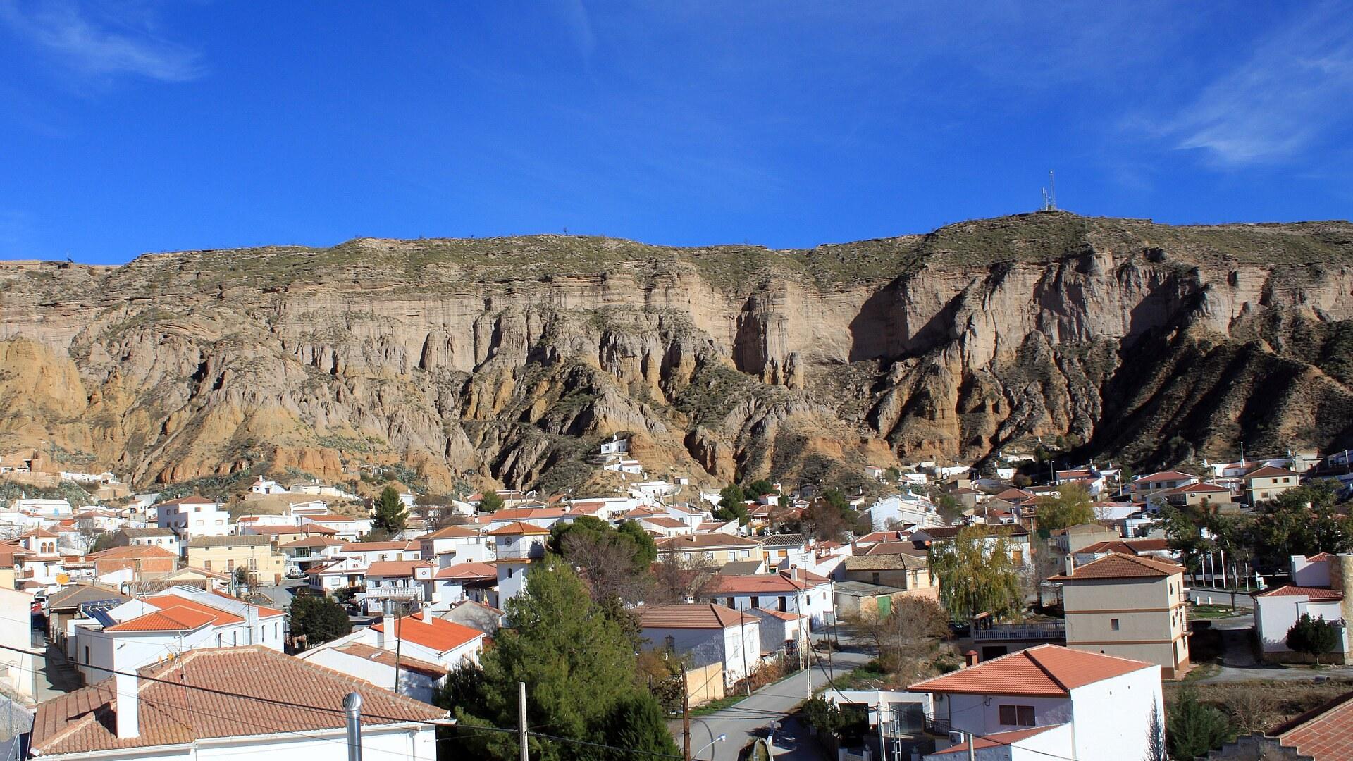
Gorafe Guide
Andalusia, Spain
Dolmens, cave houses and a desert of badlands
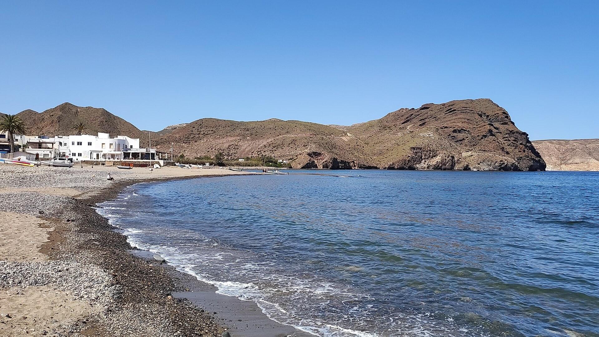
Las Negras Guide
Andalusia, Spain
Seaside village with 1970s looks and coves toward Agua Amarga
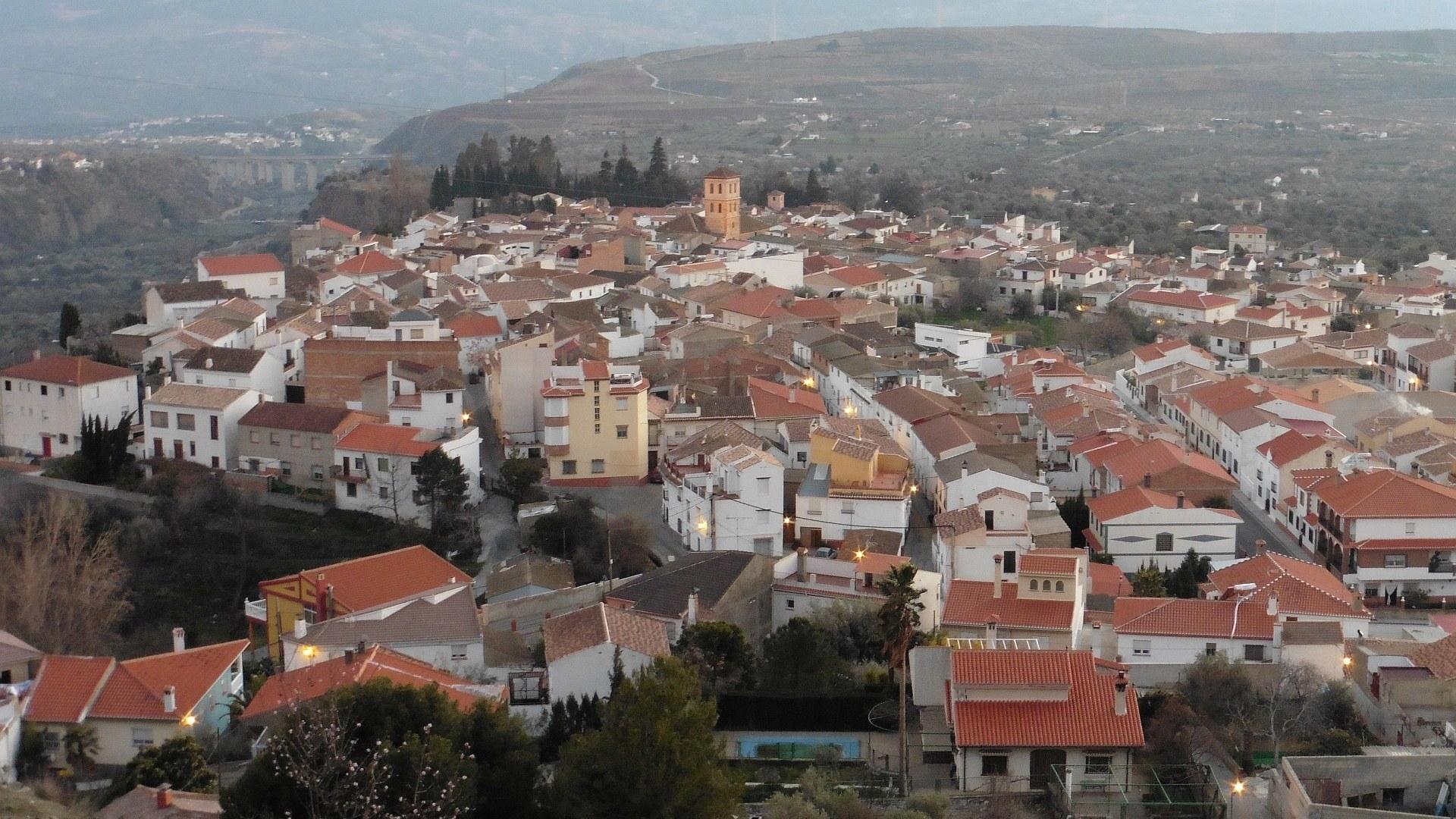
Nigüelas Guide
Andalusia, Spain
The balcony of the Lecrín Valley
Rodalquilar Guide
Andalusia, Spain
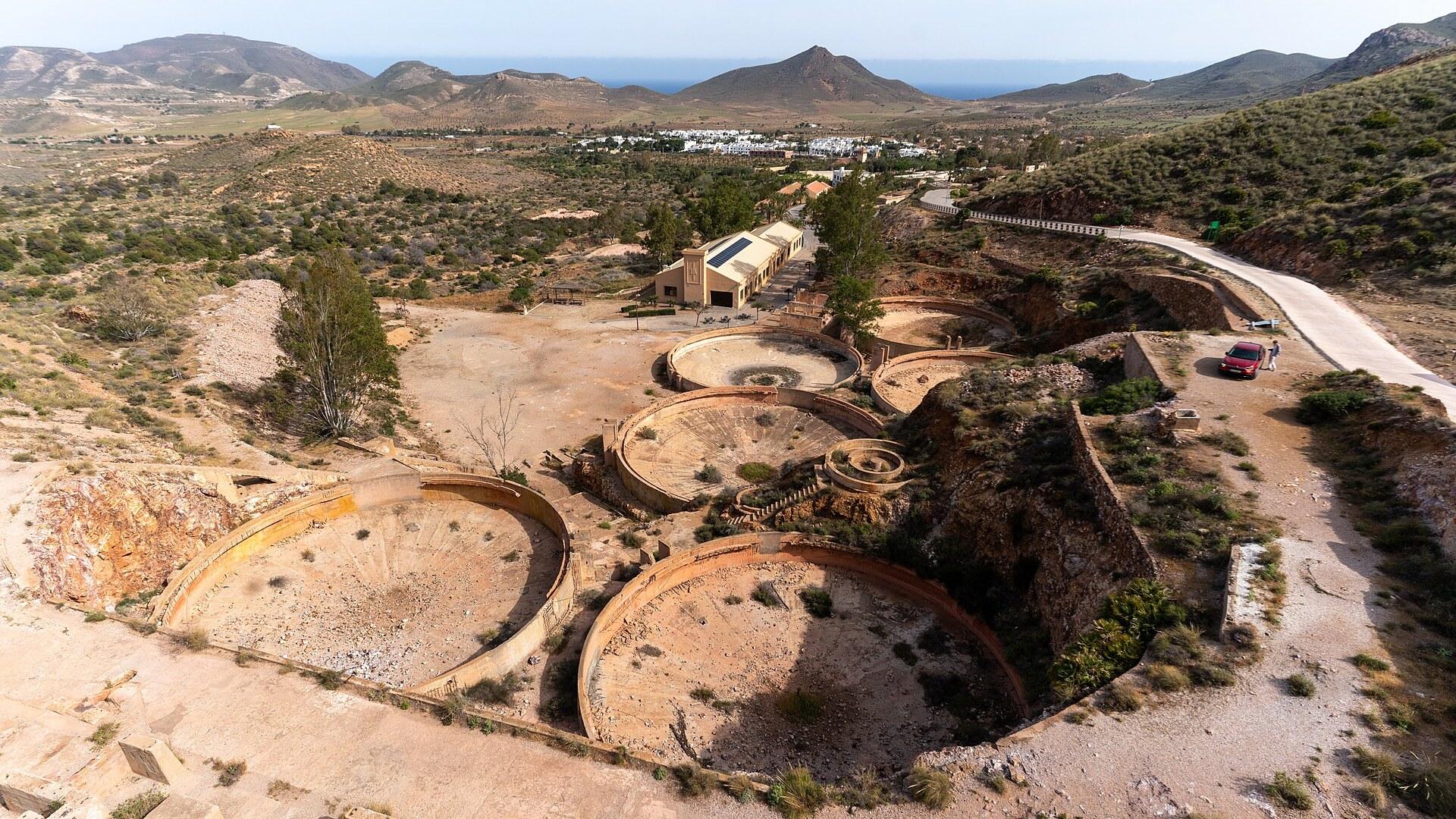
Gold-mine ruins and a desert beach in Andalusia
Sorbas Guide
Andalusia, Spain
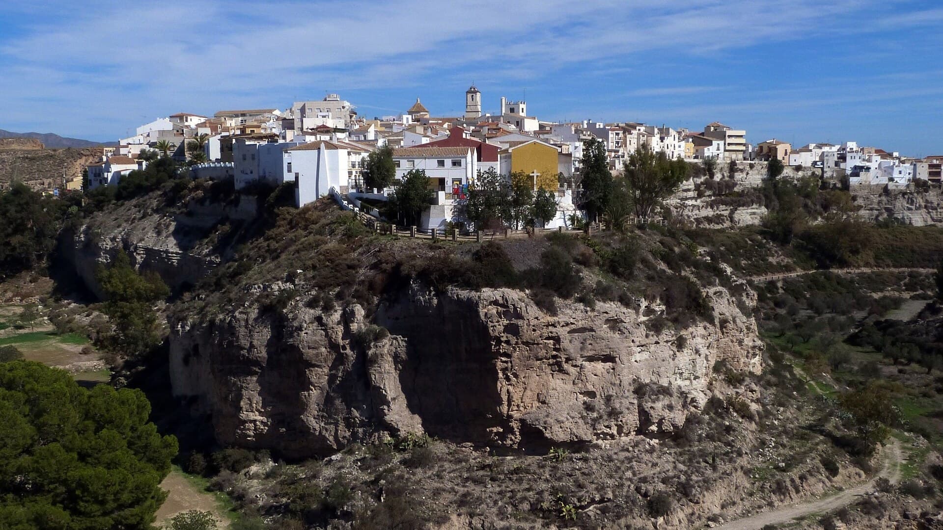
A town of red clay above a sparkling gypsum underworld
Biniaraix Guide
Mallorca, Spain
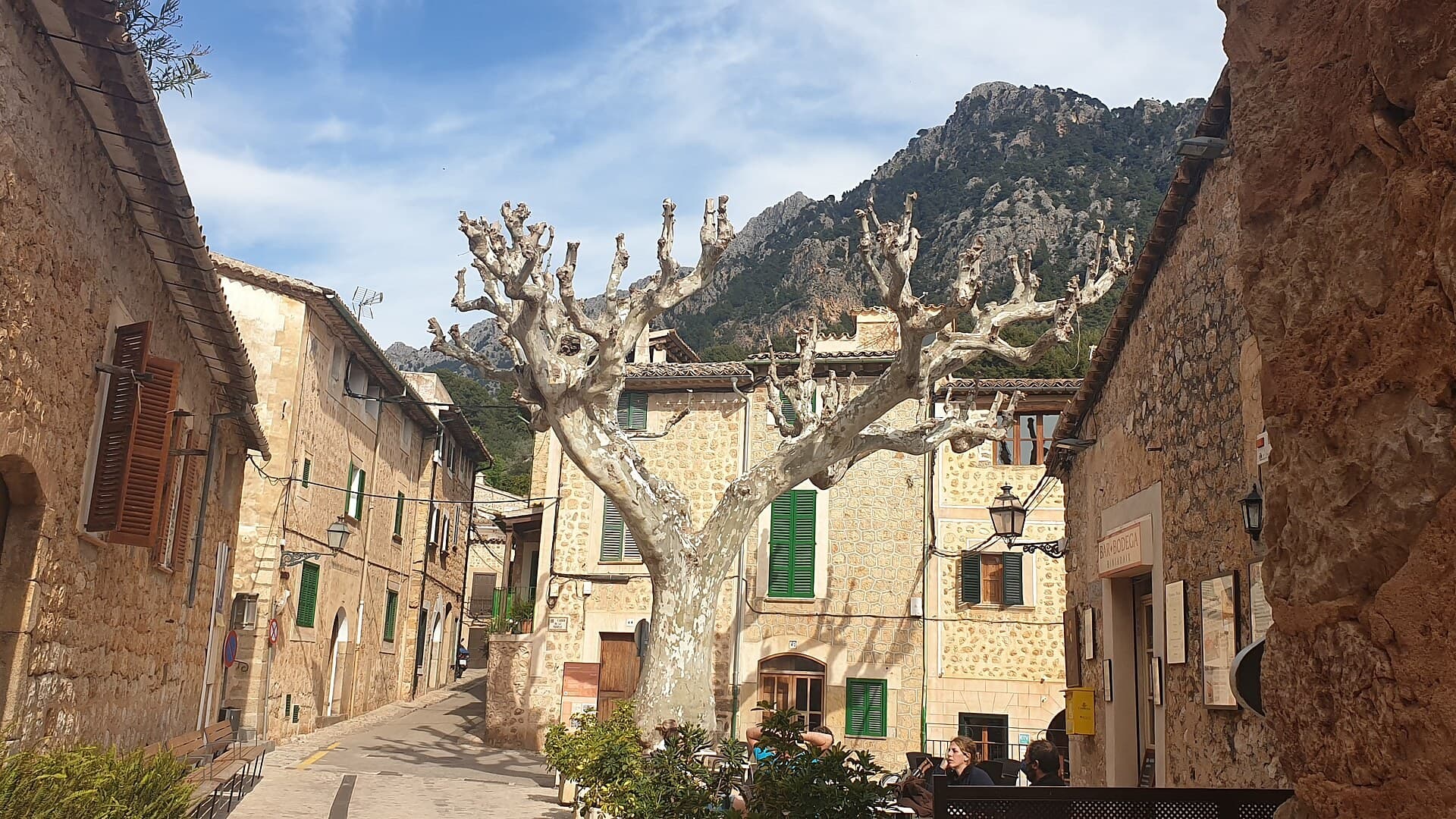
Stone steps, olive terraces and a gorge above Sóller

Save these places to your list
Copy the spots you picked into your list — maps and notes included.