
Westcliffe Guide
Dark skies and mountains in the Wet Mountain Valley
1 selected
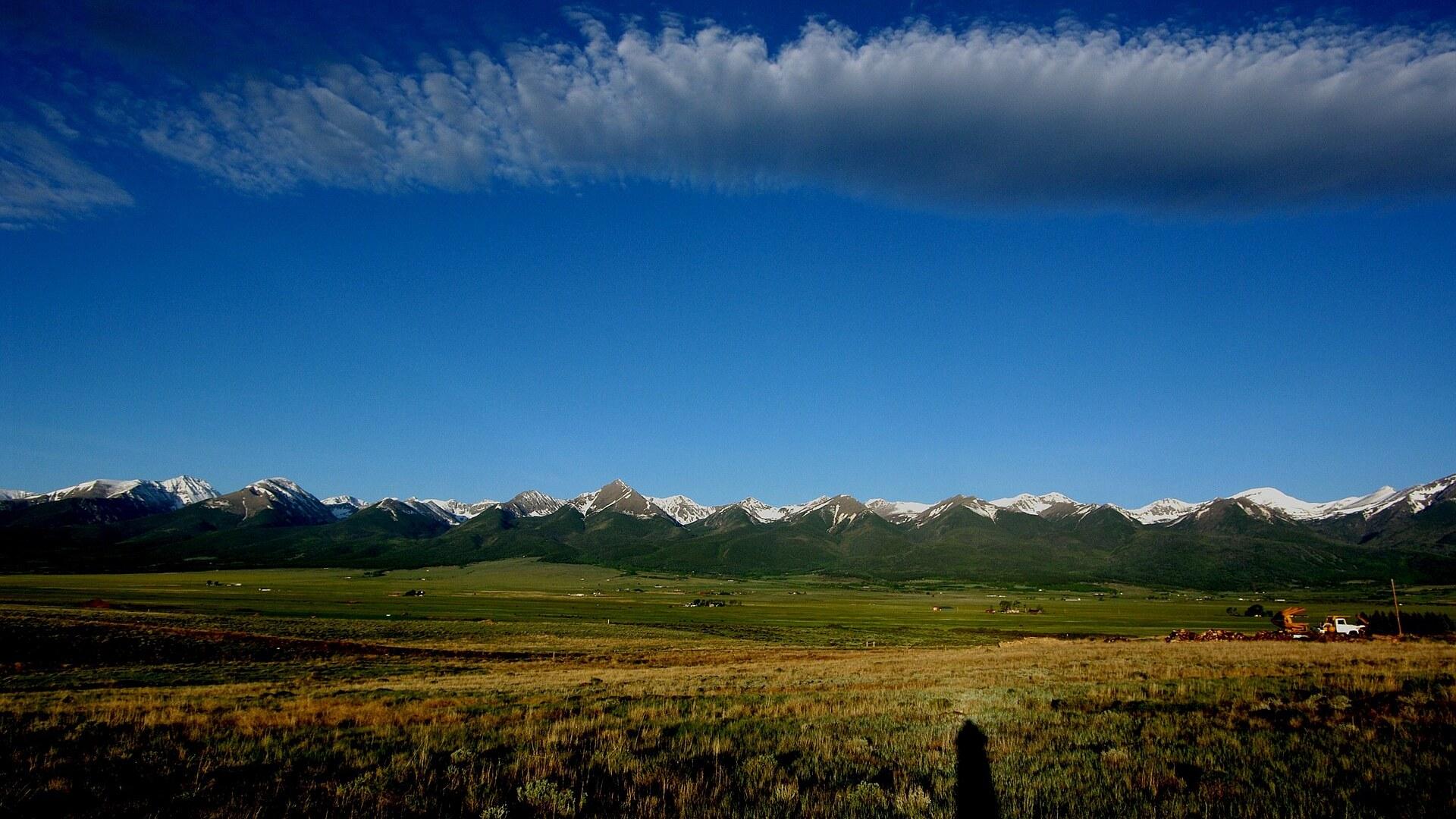
Westcliffe is a statutory town in Colorado, United States, and the county seat of Custer County. The town lies in the Wet Mountain Valley, with the Wet Mountains to the east and the Sangre de Cristo Range to the west. Silver Cliff sits immediately east of Westcliffe, and the two towns run side by side.
The Sangre de Cristo Mountains surround Westcliffe and its sister town Silver Cliff, and both share International Dark Sky Community status. They were named the 9th Dark-Sky Community in the world and the first in Colorado. The Wet Mountain Valley tourism area also takes in San Isabel and Wetmore, and the valley itself is mostly devoted to cattle ranching.
On Westcliffe's Main Street you find the Denver & Rio Grande Western Railroad Depot, with exhibits on the valley's rail history, and the Historic Jones Theater, with live performances and movies. The Sangres Art Guild 3rd Street Gallery has two floors of changing exhibitions. Greenstone Artworks, also on Main Street, shows southern Colorado artists.
Bishop Castle in Custer County is a three-story medieval-style castle with large gothic windows, steel walkways, stained glass and a stainless-steel fire-breathing dragon. Its main tower is over 160 feet (49 m) tall. Along the Frontier Pathways scenic byway you can see the castle from outside. Lake Isabel lies a few miles south of Bishop Castle on the CO 165 part of the byway, with camping, fishing, paddling, biking and ATV trails.
Mission: Wolf is a sanctuary for captive wolves and wolf-dog crosses, reached by back roads on the way back from Bishop Castle toward Westcliffe. Willow Wind Farm near Westcliffe runs tours with alpacas and fine-wool sheep, and a boutique there sells products made from the animals' fibers. Cliff Lanes Entertainment Center in Westcliffe has bowling, an arcade, air hockey and a pool table.
The Smokey Jack Observatory in Westcliffe has a retractable roof and a 14-inch Schmidt-Cassegrain telescope, so the Milky Way is easy to spot on a moonless evening. At the free star parties, volunteers help you point the telescope at constellations and explain the night sky. A computer-automated telescope and a guide show galaxies and star clusters for about 2 h.
The Wet Mountain Valley has 52 mountain lakes reachable on hikes in the Sangre de Cristo Wilderness and San Isabel National Forest. The Rainbow Trail gives roughly 100 miles of hiking, horseback riding and mountain biking. Lower Venable Lake above Westcliffe is known for cutthroat trout, and Bear Basin Ranch near Westcliffe leads backcountry horseback trips with experienced guides.
The Wet Mountain Valley Stampede Rodeo in Westcliffe takes place in the third week of July, with bull riding, barrel racing and live music. The High Mountain Hay Fever Festival brings bluegrass to Westcliffe in summer, and the Jones Theater stages productions such as 'Shakespeare in the Sangres' alongside movies and special events.
From railroad stop to dark-sky town: Westcliffe's past
Westcliffe had its start in 1881, when the Denver and Rio Grande Western Railroad was extended to that point. The town was originally named Clifton. William Abraham Bell, a businessman who owned a large amount of land in the area, later renamed it after Westcliffe-on-Sea, England. All Aboard Westcliffe occupies a restored 1901 Denver & Rio Grande Railroad depot and a single-stall engine house. Inside you find refurbished rail cars, model railroads of the Wet Mountain Valley and railroad artifacts. The Silver Cliff Museum sits in an 1879 building that was once the fire station and town hall, and it shows the mining and ranching history of Silver Cliff and Custer County. Beckwith Ranch is a former working cattle operation in the Wet Mountain Valley. It offers guided tours of restored buildings and a Victorian-style mansion set against the Sangre de Cristo Mountains. Construction of Bishop Castle began in 1969 as a family project to build a cottage. It grew after Jim Bishop covered a water tower with rocks and neighbors said it looked like a castle. A fire on March 28, 2018 destroyed the gift shop and a guest house at the castle, but the mostly stone building itself was not damaged, and the attraction re-opened later that week. The Smokey Jack Observatory in Westcliffe is named for Suzanne B. Jack. She helped form Dark Skies of the Wet Mountain Valley, the group behind the 2015 International Dark Sky Community designation.
Where to eat in Westcliffe and Silver Cliff
Westcliffe has several nice cafes and restaurants, and the town has no fast food at all. Susie's Cafe and Bar in Westcliffe is known for karaoke nights and pie. Over in Silver Cliff, High Country Inn and Restaurant is a small motel known for home-cooked meals and baked goods. Also in Silver Cliff, Mining Co is famous for its big breakfasts and has live local music. From June through September the Westcliffe Farmers' Market runs on Fridays. Stalls sell produce, breads, sweets, Amish-baked goods, jewelry and artisan ware. Local coffee shops line Main Street. In autumn, Westcliffe hosts events such as the Rocky Mountain Oyster Fry and the Westcliffe Turkey Trot.
Driving to Westcliffe from Denver and Colorado Springs
Westcliffe lies about 145 miles south of Denver, and the drive takes roughly 3 h. The route runs mainly on I-25, then CO 115, CO 96 and CO 67. Coming from Colorado Springs, you drive west toward Florence and Wetmore, then follow route 96 to Westcliffe. The last hill on Hwy 96 on the way to Westcliffe gives a first view of the Sangre de Cristo range and the Wet Mountain Valley below. The Frontier Pathways Scenic and Historic Byway is a 103 mile drive through Pueblo, Westcliffe, Silver Cliff, Rye and Colorado City. The town of Rye sits along the byway between Colorado City and Pueblo, surrounded by trout streams and rivers.
Getting around Westcliffe: Planet Walk, bikes and byways
Westcliffe has a self-guided Planet Walk that uses an audio guide app and interpretive signs. It starts at the Welcome Station in front of Cliff Lanes and leads up Main Street. The farthest stops on the Planet Walk, such as Pluto, are best reached by bike or car. Gravel riding roads and miles of uncrowded hiking paths around Westcliffe and the Wet Mountain Valley suit both cyclists and walkers. Silver Cliff sits immediately east of Westcliffe. Hwy. 96 west into the Wet Mountain Valley opens to wide views of the Sangre de Cristo Mountains.
Practical tips for Westcliffe: weather, stars and trails
Westcliffe has a cold climate, with a mean daily maximum of 39.6°F (4.2°C) in January and 80.6°F (27.0°C) in July. The Wet Mountain Valley has a humid continental climate with warm summers and cold winters, and most precipitation falls in summer. How much snow does Westcliffe get? Westcliffe averages about 84.3 inches (213.3 cm) of snow a year, with March and April the snowiest months at 15.0 and 19.6 inches. Snow is recorded only from September to May, and June, July and August have no average snowfall. When can I join a star party at the Smokey Jack Observatory? Free monthly public star parties run from May through September, and those are also the best and warmest months for the observatory. Dark Skies of the Wet Mountain Valley takes reservations for free private star parties hosted by trained Star Guides from mid-March through October. Bring warm clothes, since temperatures drop rapidly after dark. How long should I stay and how do I handle the altitude? Half a day to a full day in Westcliffe is enough for Main Street, the observatory or a short hike, then a meal. Stay hydrated, take it easy on the first day and adjust to the altitude before tackling higher trails. Which trails work in which season? The Rainbow Trail near Westcliffe can be hiked any time of year, while the primitive 4WD Hermit Pass is challenging and best saved for summer. In colder months you can winter hike and snowshoe. At the Great Sand Dunes, hiking is permitted throughout, but the sand surface may reach 150°F (66°C) in summer. When is the best season, and what are the manners? Spring, summer and fall are pleasant for hiking, festivals and stargazing around Westcliffe, with longer days in summer and colorful foliage in fall. Visitors are asked to pack out trash and stay on established paths.
FAQ
What is covered in the Westcliffe guide?
Discover Westcliffe in Colorado's Wet Mountain Valley: dark-sky star parties, Bishop Castle, Rainbow Trail hikes and Main Street galleries. Plan your trip. It includes 1 recommendations across 1 gallery.
Next →How many places are in the Westcliffe guide?
The Westcliffe guide lists 1 places: 1 gallery.
Next →Where is Westcliffe?
Westcliffe is in Westcliffe, Colorado, United States (38.1300, -105.4625).
Next →How do you get to Westcliffe?
Westcliffe lies about 145 miles south of Denver, and the drive takes roughly 3 h. The route runs mainly on I-25, then CO 115, CO 96 and CO 67. Coming from Colorado Springs, you drive west toward Florence and Wetmore, then follow route 96 to Westcliffe. The last hill on Hwy 96 on the way to Westcliffe gives a first…
Next →What should you eat in Westcliffe?
Westcliffe has several nice cafes and restaurants, and the town has no fast food at all. Susie's Cafe and Bar in Westcliffe is known for karaoke nights and pie. Over in Silver Cliff, High Country Inn and Restaurant is a small motel known for home-cooked meals and baked goods. Also in Silver Cliff, Mining Co is famo…
Next →Is there camping in Westcliffe?
No camping listings in this pack yet — we do not invent venues. Entries will appear once verified.
Next →Can you rent a bike in Westcliffe?
No bike rental listings in this pack yet. Verified shops will be added when available.
Next →What are recommended gallery in Westcliffe?
Highlighted gallery in the Westcliffe guide: Sangre de Cristo range above the Wet Mountain Valley.
Next →Highlighted places
- Sangre de Cristo range above the Wet Mountain Valley — The snow-capped Sangre de Cristo Mountains rising above the green Wet Mountain Valley near Westcliffe.
Explore on the map
Tap a pin to highlight its place card
All
1 spots
Recommended places
Gallery
1 · 1 selected
Sangre de Cristo range above the Wet Mountain Valley
gallery
Related guides
Browse nearby destinations
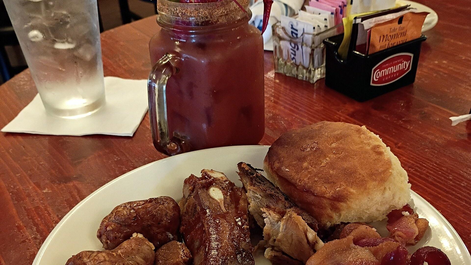
Arnaudville Guide
Louisiana, United States
La Jonction, where two bayous meet in Cajun Country
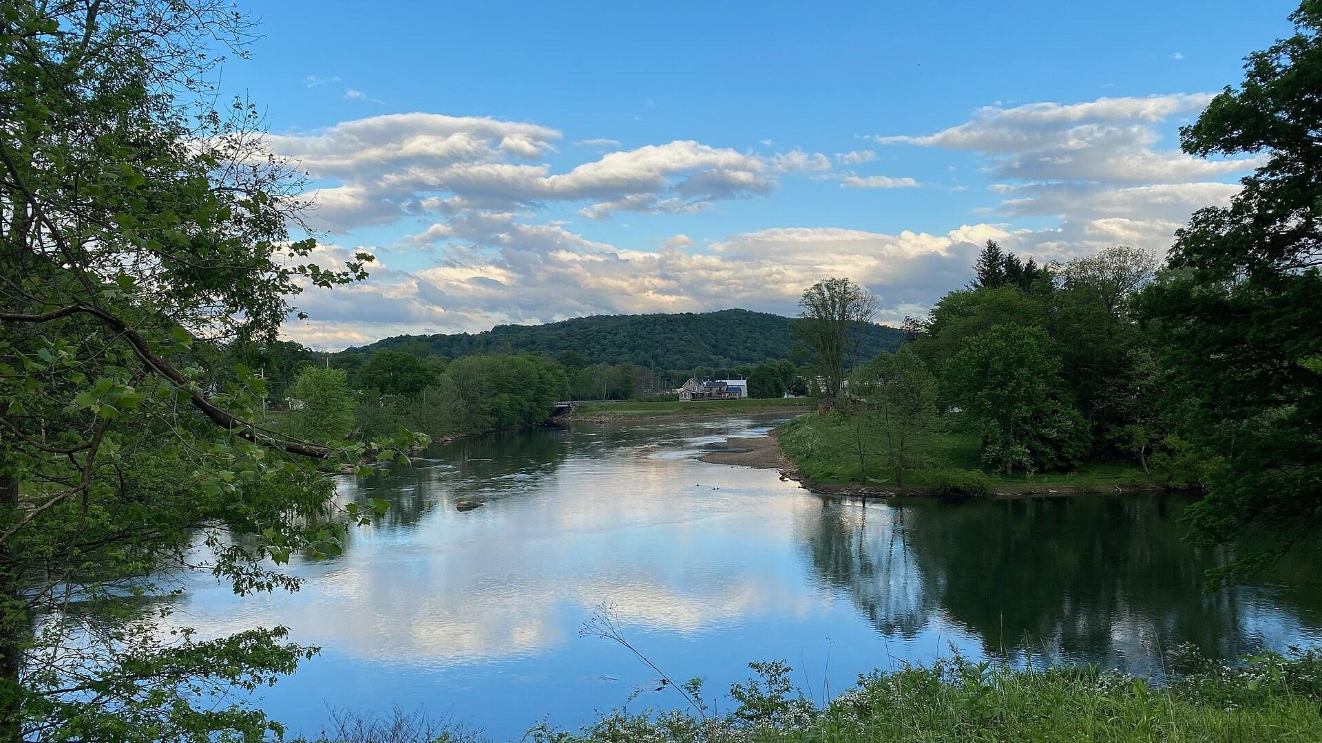
Confluence Guide
Pennsylvania, United States
Where three waters meet on the Great Allegheny Passage
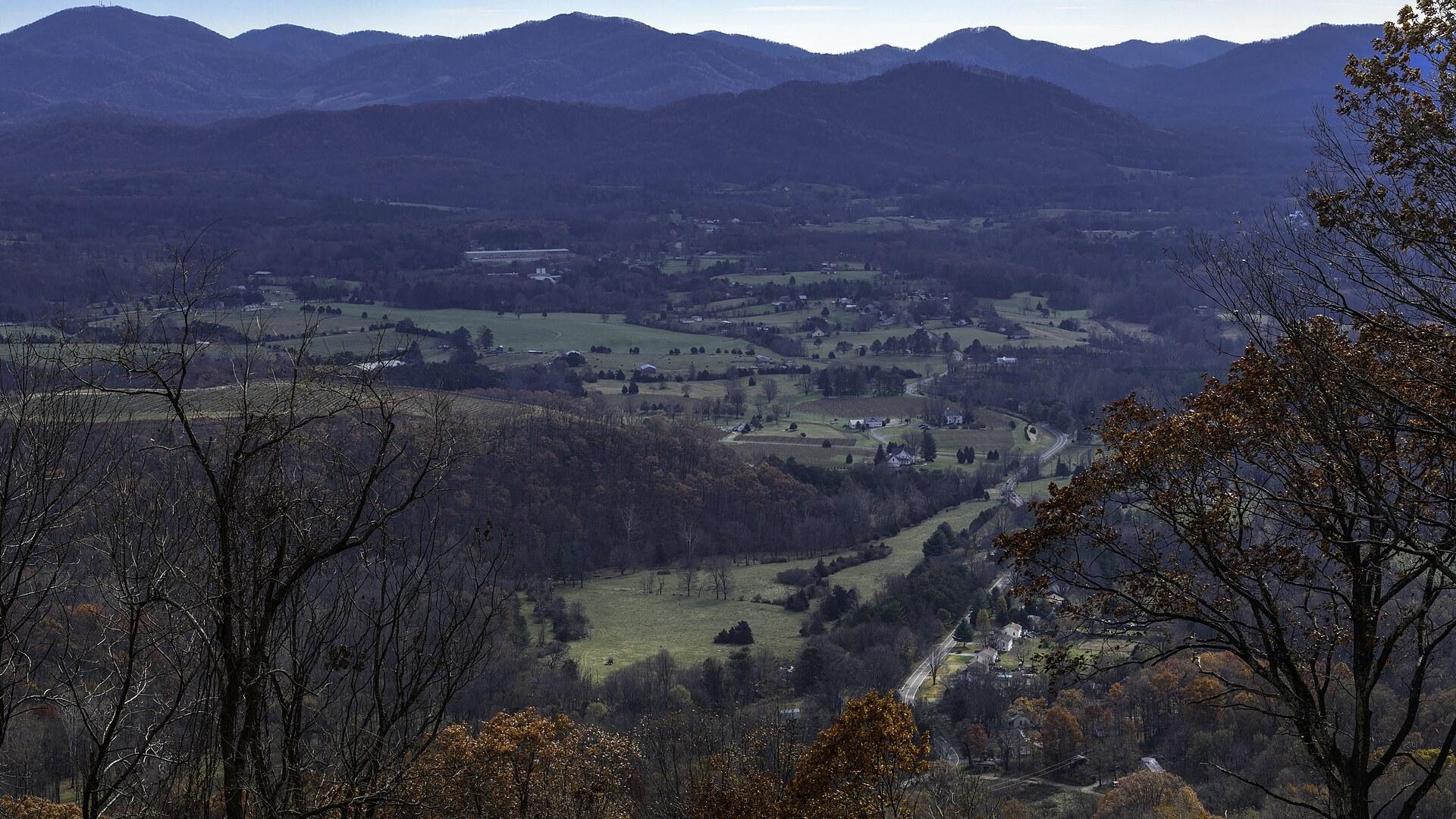
Crozet Guide
Virginia, United States
Vineyards, orchards and a railroad tunnel under the Blue Ridge
Hubbell Guide
Michigan, United States
Hungarian Falls and the Torch Lake mining ruins
Ligonier Guide
Pennsylvania, United States
A frontier fort, a village green and the Laurel Highlands
Lost River Guide
West Virginia, United States
Trails, a Lee cabin and a river that goes underground

Save these places to your list
Copy the spots you picked into your list — maps and notes included.