
Confluence Guide
Where three waters meet on the Great Allegheny Passage
1 selected
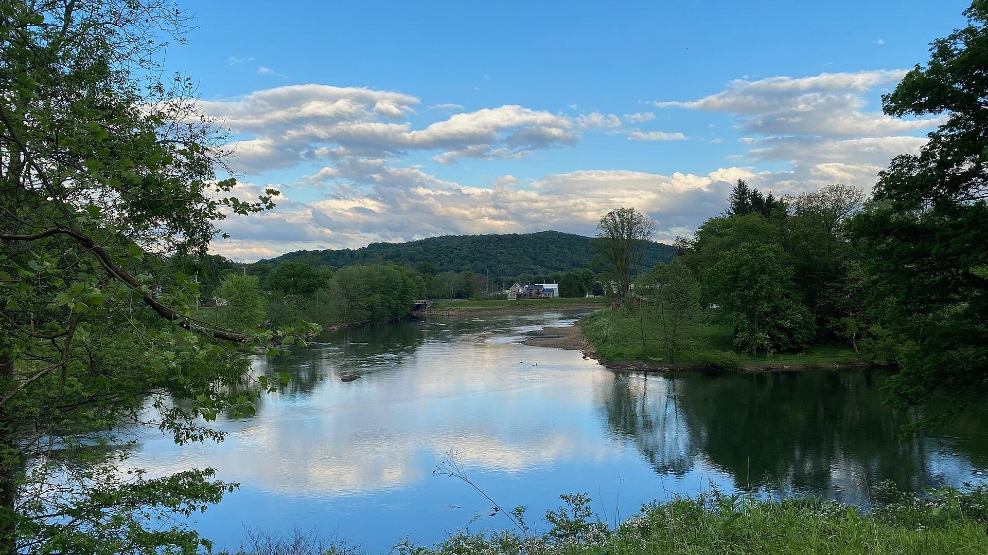
Confluence is a small borough in Pennsylvania, United States, where the Casselman River and Laurel Hill Creek run into the Youghiogheny River. It sits in the Turkeyfoot Valley on the eastern edge of Ohiopyle State Park, with the Laurel Highlands rising around it. Most visitors roll in on the Great Allegheny Passage, and the whole town is arranged around that rail trail.
Two bicycle and pedestrian bridges link the peninsulas the rivers have carved out, so getting from one side of Confluence to the other often means crossing water on a bike. The town square feels a bit like New England, with a wooden gazebo, the Turkeyfoot Valley Historical Society and a full-service bike shop that the trail's own website counts among the best on the GAP. Stop at the gazebo before you decide where to head next.
For a quick view, take the easy footpath up the ridge in the new Joshua C. Whetzel, Jr. Recreation Area. From the top you look down on the town and the trail together. East of town the GAP crosses the Pinkerton Low and High Bridges above the fast Casselman River, then enters the 259 m Pinkerton Tunnel, which has no lighting.
Water sets the pace here. Youghiogheny River Lake lies just south of the borough and stretches about 26 km towards Maryland, with swimming, boating and fishing, great views from the top of the dam and wooded picnic areas close by. The Casselman is the one for paddling, trout and wildflowers. The Middle Yough starts at the Ramcat put-in near town and is rated Class II, gentle enough for families and beginner kayakers.
Ohiopyle State Park begins just minutes to the west. It holds Cucumber Falls, Ohiopyle Falls and the Meadow Run Waterslides, natural slides that visitors are allowed to ride. The classic day out is the 33 km round trip by bike from Ohiopyle to Confluence and back, through the deepest gorge in Pennsylvania.
Drive a little and the list grows. Fallingwater, Frank Lloyd Wright's house built over a waterfall, is a short drive away, and tours should be booked in advance. Laurel Caverns, described as Pennsylvania's largest cave, runs guided tours with an option to rappel. In winter Seven Springs Mountain Resort and four more ski resorts around Confluence take over, and in warmer months Seven Springs turns to zip-lining, mountain biking and golf.
Washington's turkey foot and the rail trail that followed
Confluence takes its name from the meeting of three waters, and the story of the town runs from a young surveyor in 1754 to a rail trail finished in 2013. In 1754 George Washington explored the region as a surveyor and noted that the Casselman River, Laurel Hill Creek and the Youghiogheny together formed the shape of a turkey foot. The Turkeyfoot Valley still carries that image in its name. Washington was also following the Youghiogheny corridor that year, looking for a clear passage through the Allegheny Mountains to Fort Duquesne. The town itself is much younger. It was settled in 1870 and incorporated in 1873 as a borough in Somerset County, and the rivers still decide its layout, which is why two bridges are needed to connect the peninsulas. The past you can touch today is the rail corridor. The first stretch of the Great Allegheny Passage, 14 km near Ohiopyle, opened in 1986, and the whole trail between Pittsburgh and Cumberland was completed in 2013. East of Confluence the Pinkerton Tunnel, 259 m long, reopened in 2015, so you can ride through it again. For the local side of the story, walk to the town square and find the Turkeyfoot Valley Historical Society. Climb the ridge in the Joshua C. Whetzel, Jr. Recreation Area first and visit the society afterwards. Seen from above, the three rivers and the trail make much more sense.
Riverside meals and espresso stops in Confluence
Confluence is a favorite stop on the Great Allegheny Passage, thanks to its restaurants, cafes, an espresso shop and a long list of B&Bs and guesthouses. River's Edge Cafe serves hearty meals with riverside views, which suits the end of a long day in the saddle. Pick a table facing the water if you can. The day trip from Ohiopyle heads east through Ohiopyle State Park and the state's deepest gorge, so a proper sit-down meal at the halfway point feels earned. For coffee, Tissue Farm combines espresso with local art in a cafe-gallery setting, so a quick stop can easily turn into a longer one. Park Square Market is where you buy groceries. That matters if you are camping at the Outflow Campground near town, which has a hiker-biker section and several loops for car camping. Riders on the classic Ohiopyle to Confluence day trip, a 33 km out-and-back, find many choices for lunch or dinner here, so there is no need to carry a picnic from the start. Plan your meal for Confluence, then give the town square a second look before you turn around. Food is also part of the calendar. Pumpkinfest takes over an October weekend with arts and crafts, live music, a pageant, an antique and classic auto show, a square-dancing exhibition and a largest pumpkin contest. If you want a room that weekend, ask the B&Bs early.
Arriving by trail, by car or by river in Confluence
Confluence is easiest to reach by car or by bike, because the Great Allegheny Passage runs right through town and the main parking lot sits beside it. Riders on the trail arrive in town on the trail itself, while drivers use that lot, reached via River Road just off PA-281. The same lot serves the Joshua C. Whetzel, Jr. Recreation Area, so you can leave the car there and explore on foot or by bike. Anyone driving on to the river should note that the rafters' access is elsewhere. A gravel lot along Ram Cat Road, at the far eastern edge of Ohiopyle State Park, is where rafters often put in for the middle section of the Youghiogheny. By bike you can come from either end. The GAP runs 240 km between Pittsburgh and Cumberland, Maryland, following the Youghiogheny and Casselman for much of the way, and Ohiopyle lies about 18 km west of Confluence. At Cumberland the trail connects with the C&O Canal towpath, which gives a continuous car-free route of roughly 540 km to Washington, D.C. Paddlers can arrive by water. The Ramcat boat launch is the public access to the Youghiogheny in Confluence, and the Middle Yough runs from the Ramcat put-in to just above the falls in Ohiopyle. If you want bigger rapids, the upper Yough in western Maryland is an hour's drive away, about 1 h by road.
Bikes, bridges and boat rentals around Confluence
Getting around Confluence mostly comes down to your own feet, a bicycle or a paddle, since the rivers split the town and two bicycle and pedestrian bridges tie it back together. The town square, the bike shop and the footpath up to the ridge are all close to the trail. The full-service bike shop is advertised on the trail's website as one of the best on the GAP, which makes it the place to go if a tire gives up. Riders doing the whole route can arrange the Sunshine Luggage Shuttle, listed on the Visit Confluence outdoor page and advertised as moving luggage safely and on time. Book it before you set off. Out on the trail the directions are simple. East of town come the Pinkerton Low and High Bridges and the 259 m Pinkerton Tunnel, which is unlit. West of town the Youghiogheny River Trail South section of the GAP runs through Ohiopyle State Park and parallels the rapids from Ramcat to the Bruner Run take-out. The out-and-back to Ohiopyle is about 33 km. On the water, Somerfield Recreation Area just south of Confluence rents boats for Youghiogheny River Lake, and the modern launch at the dam takes fishing, pontoon and pleasure boats. For the river itself, outfitters in Ohiopyle and West Newton rent gear and run paddling trips, and Ohiopyle also offers guided tours of the bigger whitewater of the lower Yough.
Paying for rentals, tours and bookings near Confluence
Spending in Confluence is spread across small local places: the bike shop on the town square, River's Edge Cafe, Tissue Farm, Park Square Market and the B&Bs. Prices are in US dollars. It helps to know what is worth paying for before you arrive. Most of what costs real money sits outside the restaurant bill, in rentals, tours and bookings. Fallingwater is the clearest example. Tours should be booked in advance, so reserve a time before you plan the rest of the day around it. Laurel Caverns sells guided tours through limestone passages, with an option for rappelling, and Seven Springs Mountain Resort charges for its winter and summer activities. On the water you pay by the day or the trip. Boat rentals for Youghiogheny River Lake are at the Somerfield Recreation Area, and outfitters in Ohiopyle and West Newton rent gear and organize floating trips. Inexperienced paddlers are encouraged to hire a private outfitter on the Youghiogheny, which adds a cost worth budgeting for. The lower Yough is a 7 mile run, roughly 11 km, rated Class III to IV, so it is no place for beginners. Long-distance hikers face one more booking. The 70-mile Laurel Highlands Hiking Trail, about 110 km from Ohiopyle to near Johnstown, has eight overnight shelters roughly 10 to 16 km apart, and each requires a reservation. Make those before you start walking.
Seasons, river rules and where to sleep in Confluence
Confluence works in every season, but each one asks for something different. Summers are warm, winters bring serious snow and the rivers change character with the weather. These answers cover the questions that come up most before a trip. When is the best time to visit Confluence? July is the warmest month, with daily highs around 28 °C, while January nights fall to about -7 °C and most of the snow arrives in January and February. Rain falls all year. The Casselman River and Laurel Hill Creek are best for paddling in spring, when they run bank full. Are there events worth planning around? Pumpkinfest fills an October weekend in town. In July the Mt. Davis Challenge draws road and gravel cyclists to a 90 km race with punishing climbs and thrilling descents. What are the rules on the river? On the Youghiogheny inside Ohiopyle State Park only rubber rafts, closed-top canoes and kayaks are allowed, and everyone must wear a certified life jacket. Inexperienced visitors are encouraged to hire a private outfitter. Is the Pinkerton Tunnel lit? No. The 259 m tunnel is unlit, so carry a bike light before you reach it. Where can I stay? The Parker House of Confluence is listed on the trail's Confluence page as a place to stay right on the GAP, and it includes a B&B. Ohiopyle State Park's Kentuck Campground has 226 campsites, and its rustic cottages sleep five people but have no running water. Can I reach Fallingwater from the trail? Not directly. It is very close to the GAP but not accessible from it, so plan a short drive and book your tour ahead.
FAQ
What is covered in the Confluence guide?
Confluence is a Great Allegheny Passage trail town: discover the rail trail by bike, paddle the Yough and plan day trips to Ohiopyle and Fallingwater. It includes 1 recommendations across 1 gallery.
Next →How many places are in the Confluence guide?
The Confluence guide lists 1 places: 1 gallery.
Next →Where is Confluence?
Confluence is in Confluence, Pennsylvania, United States (39.8076, -79.3578).
Next →How do you get to Confluence?
Confluence is easiest to reach by car or by bike, because the Great Allegheny Passage runs right through town and the main parking lot sits beside it. Riders on the trail arrive in town on the trail itself, while drivers use that lot, reached via River Road just off PA-281. The same lot serves the Joshua C. Whetzel…
Next →What should you eat in Confluence?
Confluence is a favorite stop on the Great Allegheny Passage, thanks to its restaurants, cafes, an espresso shop and a long list of B&Bs and guesthouses. River's Edge Cafe serves hearty meals with riverside views, which suits the end of a long day in the saddle. Pick a table facing the water if you can. The day trip…
Next →Is there camping in Confluence?
No camping listings in this pack yet — we do not invent venues. Entries will appear once verified.
Next →Can you rent a bike in Confluence?
No bike rental listings in this pack yet. Verified shops will be added when available.
Next →What are recommended gallery in Confluence?
Highlighted gallery in the Confluence guide: Where the rivers meet at Confluence.
Next →Highlighted places
- Where the rivers meet at Confluence — The Youghiogheny River at Confluence, Pennsylvania, where the Casselman River and Laurel Hill Creek join it.
Explore on the map
Tap a pin to highlight its place card
All
1 spots
Recommended places
Gallery
1 · 1 selected
Where the rivers meet at Confluence
gallery
Related guides
Browse nearby destinations
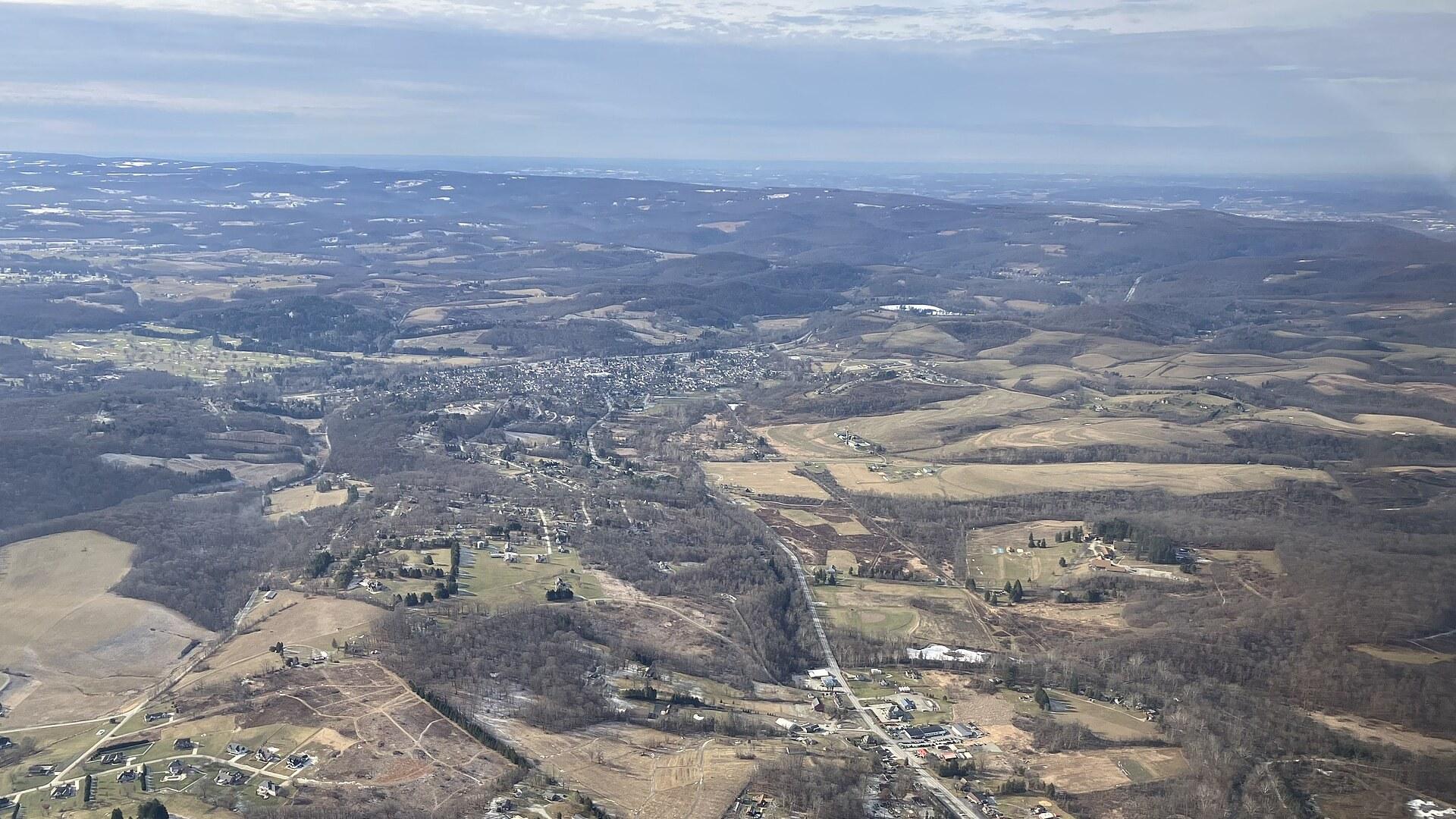
Ligonier Guide
Pennsylvania, United States
A frontier fort, a village green and the Laurel Highlands
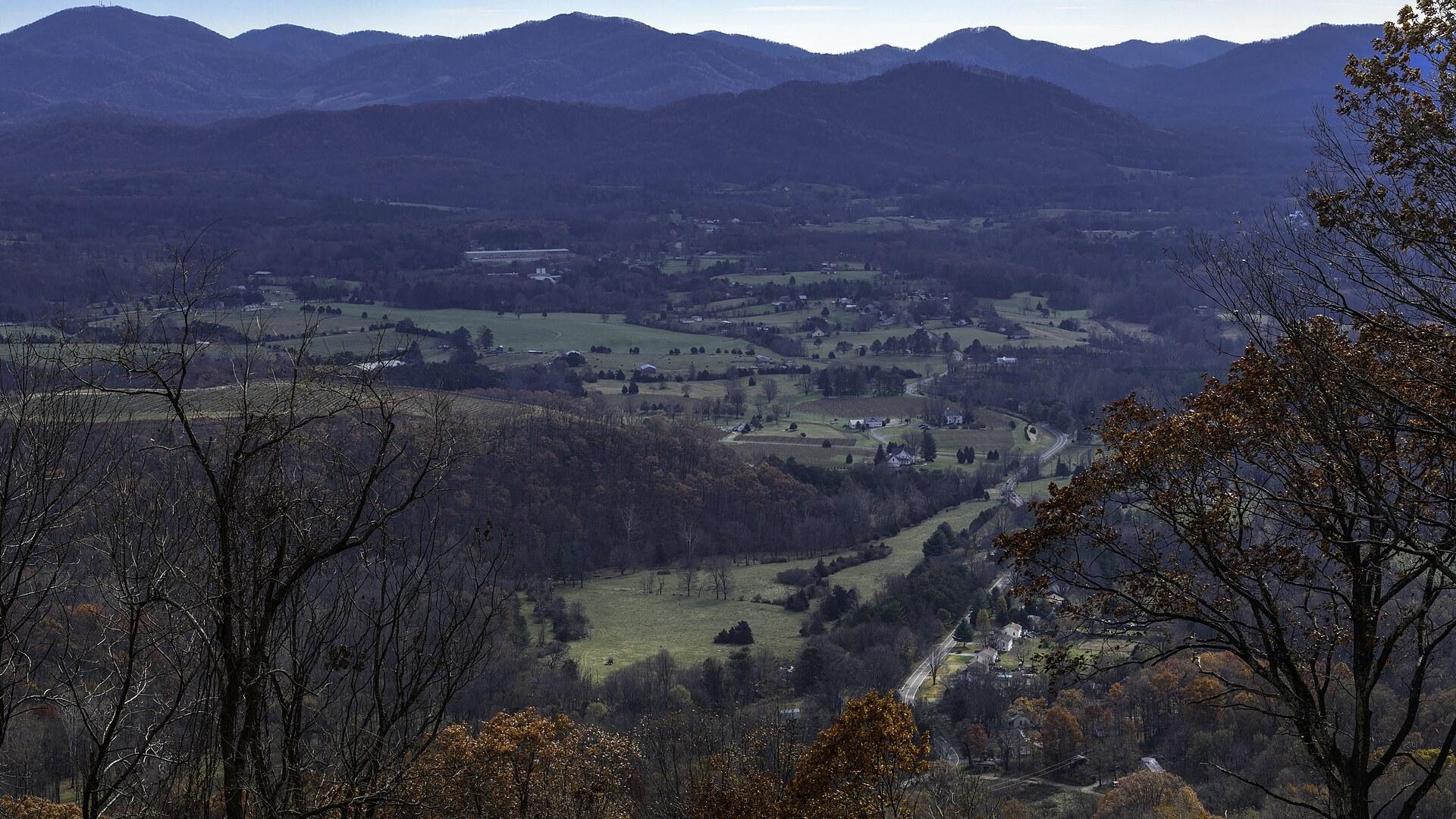
Crozet Guide
Virginia, United States
Vineyards, orchards and a railroad tunnel under the Blue Ridge
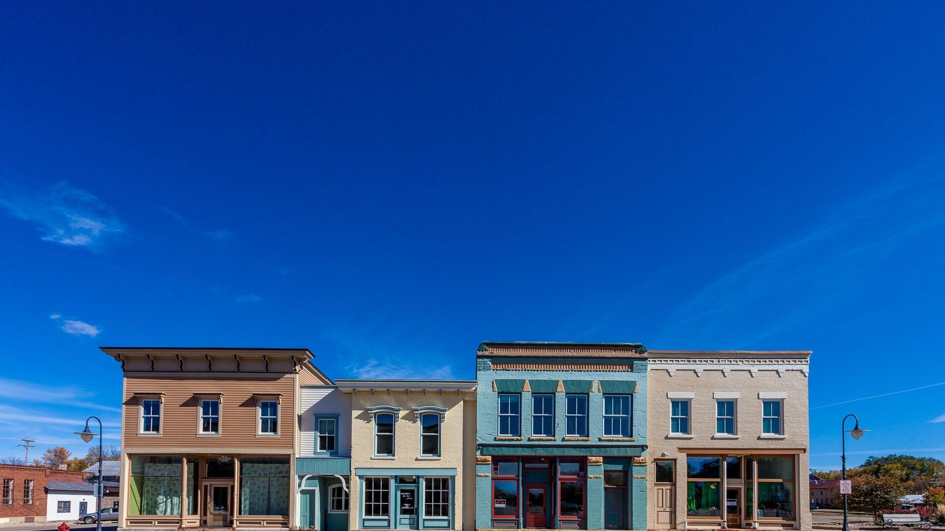
Mazomanie Guide
Wisconsin, United States
Railroad depot, microcars and canoes on the Wisconsin River
Medicine Park Guide
Oklahoma, United States
Red cobblestones and creek streets in the Wichita Mountains
Occoquan Guide
Virginia, United States
A riverside artists' town on the Fall Line
Torrey Guide
Utah, United States
Red rock, dark skies and a small-town welcome at Capitol Reef's door

Save these places to your list
Copy the spots you picked into your list — maps and notes included.