
Tetepare Island Guide
Unlogged rainforest, coral reefs and nesting turtles
1 selected
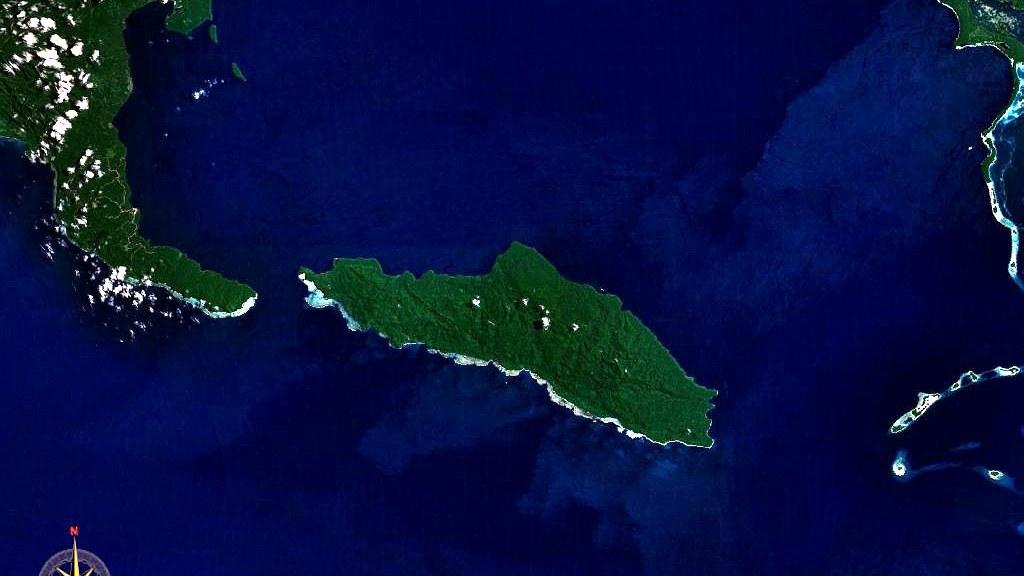
Tetepare Island lies in the Western Province of the Solomon Islands, and nobody lives there. It is the largest uninhabited island in the South Pacific, covered in rainforest and ringed by reefs of many kinds. The island covers over 12,000 hectares, with fringing coral reefs all around it.
The Balfour Channel puts 2600 m of water between Tetepare Island and the southern tip of Rendova. The island stretches up to 27 km in length and reaches 8 km across at its widest. Nobody is certain what the name means, but wild pig or fighting boar is the most likely answer, as the island was famous for those animals.
Across the rest of the country, commercial logging has swallowed almost every forest. Tetepare Island escaped it, and about 120 square kilometres of primary lowland rainforest still stand intact, some of the last in Melanesia. Under that canopy live the endemic Tetepare white-eye, hornbills, tiny pygmy parrots, the endangered coconut crab and the prehensile-tailed skink, the largest skink on Earth. Records list 80 bird species, 24 reptiles, 6 frogs and 16 mammals, and night walks turn up cuscus, coconut crabs and bats.
Trails here run from easy to punishing. The Bango Muma Walk is 0.5 km long and ends at a huge strangler fig where cuscus live. Along the flat, easy 2 km of the Crocodile Lake Walk you pass large fig trees and coconut harvesting areas, and you can walk back or take a boat. The Vasara Peak Walk needs 1.5-2 h through unlogged primary rainforest, with hornbills, pigeons and huge banyan trees along the way. Campbell River takes 2-3 h up to Vasara Peak and over the north side of the mountain, with a boat ride back and a steep, slippery last stretch. The Qeuru Beach Walk covers 8 km, suits experienced hikers and ends at a leatherback nesting beach that can be reached only in calm weather.
The Marine Protected Area is a no-take zone 13 km long, running along the southern coast from Mbo Point at the western tip to the eastern edge of Soe Island, and it reaches 500 m inland. Right below the guesthouse, next to it, a 10 min Beach Walk is good for washed-up shells and for spotting turtles or dugongs in the lagoon. Waugh Bay is the snorkelling spot for beginners, while Kaife Point at the eastern tip, 4 hours away by boat, and Sarevo Passage are for experts. A twilight snorkel gives you a chance to meet the resident dugongs as they head into the seagrass meadows to feed.
Critically endangered leatherback turtles nest on Tetepare beaches from October to January, using three of the volcanic black sand beaches, and from January to March the hatchlings leave the hatcheries and head to sea. Green turtles stay in the lagoon all year and nest on the beaches from September to December. Every fortnight TDA rangers hold a Turtle Rodeo tagging session in the Marine Protected Area, and guests may join in, with turtle counts on the alternate weeks.
The Tetepare Island Ecolodge has just six guest rooms, and no more than 14 guests can be on the island at once. The Tetepare Descendants' Association, a registered charity, protects and manages the island and has set all of it aside for conservation.
From headhunters and copra to a conservation area
Tetepare Island has stood uninhabited for over 150 years, ever since its people left in a mass exodus around 1860. Before that, several fierce headhunting tribes lived in coastal villages here, behind stone wall fortresses. The last known original residents to go were two women, Sifu and her daughter Nidu; a man named Bina from Tirokofi rescued them and took them to Baniata. In the early 1900s Burns Philips Co. leased land at the western tip for a coconut plantation, on the spot where the field station stands today. By 1940 the copra yield had grown to between 250 and 330 tons per year. The plantation was abandoned when World War II began, and warplanes were wrecked on Tetepare while boats went down nearby. The ornithologist Jared Diamond was the first to see Tetepare as a potential conservation area, in 1976. The Tetepare Descendants' Association followed in 2002, formed to represent all the descendants of Tetepare after WWF helped unite the groups TOLOA and Friends of Tetepare. The book The Last Wild Island: Saving Tetepare by John Read and Katherine Moseby documents how the TDA was founded, and copies are sold at the TDA office in Munda. Old headhunting villages with their stone wall fortresses are on the programme of the 8 day Tetepare and Rendova itinerary.
Fresh fish, garden fruit and an Eatery without shops
Meals on Tetepare Island are prepared by specially trained local cooks and served in the Eatery of the ecolodge. Fruit and vegetables arrive from village gardens on nearby Rendova Island or from local markets. The seafood on your plate was caught in the waters around the island, outside the Marine Protected Area. Tell the lodge about your dietary needs in advance, and it can cater for vegetarians and vegans. Special snacks or treats have to come with you, since the island has neither shops nor refrigeration. Guests are asked not to leave food out, as ants are drawn to it. Alcohol is not sold on Tetepare Island. If you bring your own, drink it in your room or on your verandah. Local women teach traditional cooking and basket-weaving, including how the motu oven works.
Flights to Munda, then 1-2 h by boat along Rendova
Tetepare Island is reached through Munda, the closest town, which Solomon Airlines serves with a direct flight from Brisbane lasting about 3 h. Another route runs from Brisbane, Fiji or Vanuatu to Honiara, again about 3 h, followed by a 1 h domestic flight to Munda. Munda Airport handles daily commercial flights from Honiara, Seghe and Gizo. Ecolodge staff wait at the Munda airport, which has a sealed airstrip, and take guests across on a private motorised boat. The crossing usually lasts 1-2 h, takes longer in rough weather and follows the coast of Rendova Island. The route leads outside the lagoon, where guests can meet wind, swell, chop and waves. The boat drivers have more than 20 years of experience on it. Life jackets are provided on board, and you are advised to bring sunscreen, a sunhat, sunglasses, a raincoat and drinking water. For safety the boat only runs in daylight. Guests whose flight lands in Munda late in the afternoon therefore spend the night there, and Agnes Lodge as well as several cheaper resthouses take travellers who need a night before or after Tetepare. After the stay, a private boat brings travellers back to Munda to continue to Gizo, Seghe or Honiara. The 10 day itinerary adds a boat transfer to Marovo Lagoon, with scuba diving at Uepi Dive Resort. Anyone who carries on to Munda after Tetepare can scuba dive or visit World War II relics.
Guided walks and the boat to Qeuru Beach
Tetepare Island offers walks from 10 min strolls to strenuous full-day hikes, and a guide is recommended so that you do not get lost. TDA trained rangers or tour guides should accompany visitors at all times, above all when swimming where crocodiles may be present. Around Munda and the wider Western Province, boats are the main way to travel along the coast and between islands. On Tetepare the Qeuru Beach walk needs a boat trip in one direction, and boat activities there carry a fuel charge.
No shops, solar lights and a bank branch in Munda
Tetepare Island has no shops, so toiletries, snacks and medications need to be packed before you leave Munda. Solar lights are installed, but there is no reliable electricity for charging phones or cameras, and portable chargers should come along. Across the Solomon Islands the current is 220 volt at 50 hertz. Lambete, the largest village in Munda, has a branch of the Bank of South Pacific, a post office, a telecommunications centre and a bakery. The daily rate for the ecolodge covers accommodation, all meals and your own local guide.
Water, mosquitoes, packing and the rules of the island
Tetepare Island suits a stay of at least 5 nights, which leaves enough time to explore, though sightings of particular species cannot be guaranteed. Day visitors and yachts are welcome as well, but they must contact the TDA in advance. When is the weather cooler or wetter? The Solomon Islands climate is extremely humid, with a mean temperature of 27 °C. June through August is the cooler period, and northwesterly winds from November through April bring more frequent rain. Is the water safe to drink? All water at the Tetepare Field Station is rainwater collected on the island and safe to drink, though guests are asked to use it mindfully. Showers are cold, and the toilets are basic and clean, fed by rainwater tanks. What about mosquitoes and malaria? Use your mosquito net and put on repellent mostly at dawn and dusk. No malaria has been detected on Tetepare Island, but it exists in local villages and towns, and antimalarials are recommended. What should I pack? Bathers, a rashie, hiking shoes, reef walkers, a raincoat, light clothing, a torch, sunscreen, insect repellent, a mask and snorkel and a day pack are all encouraged. Boardshorts are recommended for swimming for both men and women because of local sensitivities. Fishing outside the Marine Protected Area is allowed, so fishing equipment can come along. What are the rules on the island? Taking any resource away from Tetepare Island is not allowed. Rubbish disposal is a constant problem, and visitors are asked to carry batteries, plastics and glass out with them. What do I need to enter the Solomon Islands? You need a passport, an onward ticket and sufficient funds, and since October 2016 EU citizens do not require a visa. English is the official language, though most citizens speak Pijin as a lingua franca. The Solomon Islands lie on the Pacific Ring of Fire, where earthquakes are relatively common and sometimes come with tsunamis.
FAQ
What is covered in the Tetepare Island guide?
Plan your stay on Tetepare Island in the Western Province, Solomon Islands: unlogged rainforest, coral reefs, nesting turtles and a six-room ecolodge. It includes 1 recommendations across 1 gallery.
Next →How many places are in the Tetepare Island guide?
The Tetepare Island guide lists 1 places: 1 gallery.
Next →Where is Tetepare Island?
Tetepare Island is in Tetepare Island, Western Province, Solomon Islands (-8.7167, 157.5500).
Next →How do you get to Tetepare Island?
Tetepare Island is reached through Munda, the closest town, which Solomon Airlines serves with a direct flight from Brisbane lasting about 3 h. Another route runs from Brisbane, Fiji or Vanuatu to Honiara, again about 3 h, followed by a 1 h domestic flight to Munda. Munda Airport handles daily commercial flights fro…
Next →What should you eat in Tetepare Island?
Meals on Tetepare Island are prepared by specially trained local cooks and served in the Eatery of the ecolodge. Fruit and vegetables arrive from village gardens on nearby Rendova Island or from local markets. The seafood on your plate was caught in the waters around the island, outside the Marine Protected Area. T…
Next →Is there camping in Tetepare Island?
No camping listings in this pack yet — we do not invent venues. Entries will appear once verified.
Next →Can you rent a bike in Tetepare Island?
No bike rental listings in this pack yet. Verified shops will be added when available.
Next →What are recommended gallery in Tetepare Island?
Highlighted gallery in the Tetepare Island guide: Tetepare from space.
Next →Highlighted places
- Tetepare from space — A satellite view of Tetepare Island: a rainforest-covered island fringed by reef, in the Western Province of the Solomon Islands.
Explore on the map
Tap a pin to highlight its place card
All
1 spots
Recommended places
Gallery
1 · 1 selected
Tetepare from space
gallery
Related guides
Browse nearby destinations
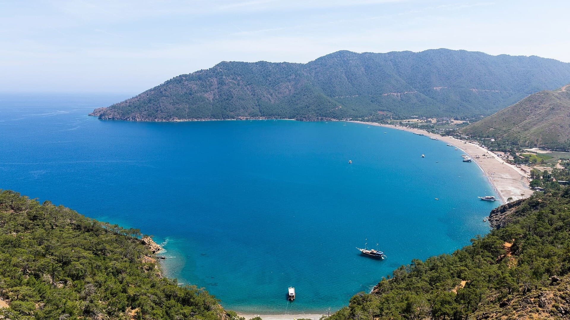
Adrasan
Antalya, TR
A pine-backed bay where the days move slowly
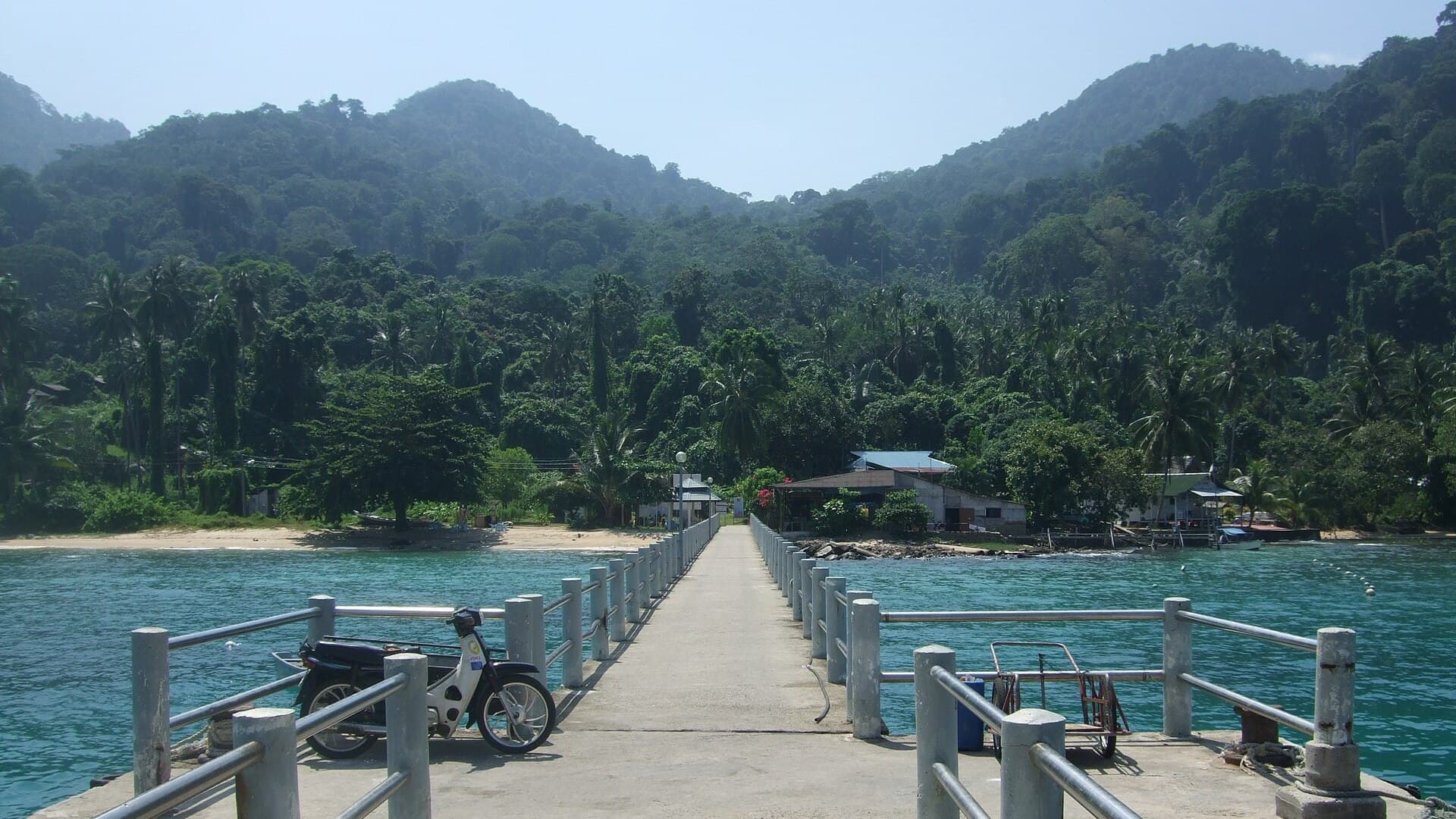
Air Batang
Pahang, Malaysia
A car-free Tioman village for divers and walkers
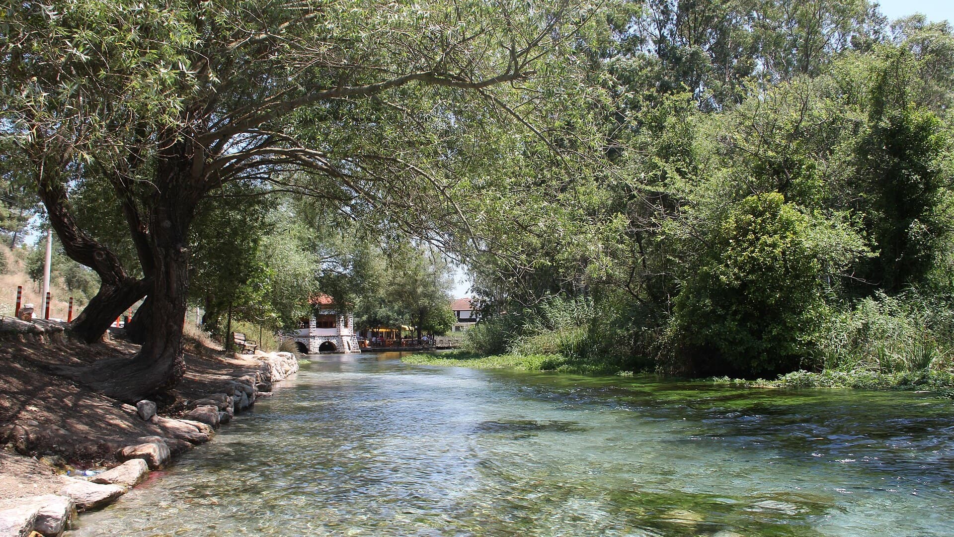
Akyaka
Muğla, Türkiye
Azmak boats, kitesurf wind and wooden balconies
Aneityum Guide
Tafea, Vanuatu
Beaches, reef and quiet in Vanuatu's far south
Angastaco Guide
Salta, Argentina
Torrontés wine and red hills in Salta's Calchaquí valley
Aralsk Guide
Kyzylorda, Kazakhstan
The sea left, the ships stayed

Save these places to your list
Copy the spots you picked into your list — maps and notes included.