
Aneityum Guide
Beaches, reef and quiet in Vanuatu's far south
1 selected
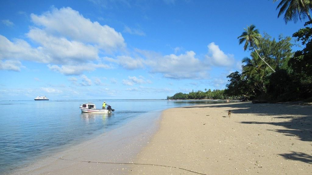
Aneityum, also known as Anatom or Keamu, is the southernmost island of Vanuatu and belongs to Tafea Province. About 65 km southeast of Tanna, it is the southernmost inhabited island of the whole chain. The land measures 159.2 km2, running 12.3 km from north to south and 16.9 km from east to west, and the mountainous terrain is cut by deep valleys.
Two volcanic cones make up the island: Mount Indero at 852 m in the west and Nanawaréz at 804 m in the east. The highest peak of Aneityum is Mount Inrerow Atamein, at 852 m. Both volcanoes are extinct, and no eruption has been recorded in historical times. The southeastern cape, Nétchan Néganneaing, is the southernmost point of land in Vanuatu.
This is a rural, unmodernized island. The main island is peaceful and lightly developed, and it feels like the far south of Vanuatu, a long way from Port Vila's harbour. Tanna to the north has more tourist attractions and is more developed. Aneityum is no volcano-and-kastom spectacle like Tanna, and no deep-forest island like Erromango. It is a beach-and-reef island with a gentle pace, while Tafea's other islands have Mount Yasur, old kauri forest and a coral lagoon on Aniwa.
A fringing reef rings the island, and the coast is cut by many bays. Narrow sandy beaches exist only on the north coast. Four villages sit along the shore: Anelcauhat on the south coast is the main one, and Anawamet (Port Patrick) lies in the north. Farmers near the coast grow taro, yams, bananas, sweet potatoes, sugar cane, breadfruit and coconut, plus a little cocoa and pepper for export. The main language shares the island's name and is written Anejom̃ in the local spelling.
Mystery Island (Inyeug) is the main attraction of the Aneityum region, a small islet that belongs to a small atoll. It is uninhabited and lies only 1 km south of Aneityum. The islet covers about 15.9 hectares, and Intao Reef flanks it to the west and south, marking the southernmost point of Vanuatu. Shallow coral reefs and white-sand beaches frame Mystery Island, and a protected reef surrounds Inyeug, whose long fine-sand beaches are where cruise passengers are landed. An airport and an eatery stand on Mystery Island.
The name Mystery Island was coined for a more interesting headline when Queen Elizabeth II and Prince Philip visited the islet in 1974. Cruise ships anchor off Inyeug, and residents of Anelcauhat go out by boat to sell handmade souvenirs and to offer snorkelling and sightseeing trips to the coral reefs. Snorkelling and swimming are the main activities on Mystery Island. People come for its water and reef, and they are told to ask locally about the day's landing and weather.
The contrast between the uninhabited islet and village life on the main island is the point of a visit, so spend time on Aneityum itself rather than only on the cruise-stop beach. The island suits travellers who want swimming, snorkelling and stillness at the southern edge of Vanuatu. It is less ideal for anyone set on Tanna's Yasur volcano or a packed cultural calendar.
In the wet interior, a kauri-dominated forest (Agathis) with Calophyllum grows 20 to 30 m tall, while sandalwood survives only in scattered wild stands. Above 500 m the forest is dominated by Weinmannia and Metrosideros. The rivers Aname, Anetcho, Antina and Anaia drain north from the central watershed, whereas the Imkalau, Uche, Lelcei and Ume drain south.
From Lapita potters to missionaries and cyclones
Aneityum was settled early: pollen from a swamp near Anelcauhat points to large-scale forest burning from about 1000 to 800 BC, during the Lapita expansion. Lapita pottery dug up on the island in 2012 was dated to about 829 BC, which suggests a first settlement early in the 1st millennium BC. Many petroglyphs lie inland, mostly concentric circles, dotted lines, human figures and hand and foot prints, much like those of Efate and Tanna. Around 1830 the island was divided into seven chiefdoms (nelcau). Each was led by a high chief (natimarid) and split into more than 50 districts under minor chiefs (natimi alupas). In 1844 James Paddon set up a trading station and sandalwood depot on Inyeug and closed it again in 1854. The Presbyterian mission arrived in 1848, founded by Rev. John Geddie, and his Bible translation is still used on the island. HMS Havannah called in late 1850 and again in May 1851 to carry missionaries. Near Anelcauhat you can still see the ruins of the first stone church and the mission house, along with the remains of the printing press. In the south, large irrigated taro terraces that a naval officer saw in 1850 survive today, though they are little used now. Weather has shaped the story as well. Between 1840 and 1900 a total of 68 cyclones swept over the island, and Cyclone Yali did major damage in March 1998.
Flights to Inyeug, then a boat across to Aneityum
Aneityum is served by Anatom Airport, which sits on the tiny island of Inyeug to the south, with flights from Port Vila via Tanna. The airport carries the codes AUY and NVVA. Its unpaved runway is 610 m long, and arriving passengers are taken by boat from Inyeug to the main island. Unity Airlines Britten-Norman Islander aircraft are the ones that land there. Domestic flights run between Port Vila and the major islands of Tafea and beyond, Tanna and Aneityum among them. The five Tafea islands are linked by those flights and by weather-dependent boats, and going from Tanna to Aneityum is not a casual hop. There is no commercial passenger shipping between the southern islands of Vanuatu. Supply ships that call at Aneityum two to four times a year do take passengers, though. Some cruises also stop here, anchoring off Inyeug while passengers are tendered ashore.
Footpaths, tenders and weather-led boats
Aneityum has no ring road between its villages, only a footpath, and the old logging tracks into the interior are now barely passable. Visitors reach Mystery Island mainly by tender or local boat. Vendors from the nearby main island often come ashore there to sell crafts and food during ship calls. Travel in Tafea Province, Aneityum included, relies on small planes and boats that depend on the weather, so build spare days into the plan.
Cash, a bank branch and small shops
Cash is the safe choice on Aneityum, because shops and ATMs are fewer outside Shefa in outer provinces such as Tafea. Anelcauhat has a National Bank of Vanuatu branch and a post office. Markets and small shops are found there too.
Weather, spare days and village etiquette
Aneityum is tropical, with an annual average temperature of 23.5 °C, and the trade winds from May to October bring heavy rain at times. When do strong winds hit? The island lies in the South Pacific cyclone belt and can be hit by strong winds between November and April. Where is the weather drier? The north side of Aneityum is sheltered and drier. How much time should I allow for the trip? Aneityum is not a good single overnight from Tanna unless the weather is kind, so allow time for the flight or boat and do not rush. Boats between Tafea islands such as Tanna and Aneityum depend on weather, connections do not run every day, and services outside Tanna are basic. What should I expect from bungalows and shops? Outside Shefa, including on Aneityum, expect simpler bungalows, fewer shops and ATMs, and transport that depends on weather and small planes or boats. Is it busy? Cruise days can briefly change the mood around Mystery Island (Inyeug), while other days on Aneityum are very quiet. How do I visit villages? Travel with a local host or guide to get a closer view of everyday kastom life. Anelcauhat has a police post and a health post with a trained nurse. Is kava safe to drink? Kava is drunk widely in Vanuatu, but frequent chronic use carries a risk of skin disease and liver damage, so drink it moderately.
FAQ
What is covered in the Aneityum guide?
Aneityum is the southernmost inhabited island of Vanuatu: discover Mystery Island, its reef and quiet beaches, and plan spare days for weather. It includes 1 recommendations across 1 gallery.
Next →How many places are in the Aneityum guide?
The Aneityum guide lists 1 places: 1 gallery.
Next →Where is Aneityum?
Aneityum is in Aneityum, Tafea, Vanuatu (-20.2000, 169.8170).
Next →How do you get to Aneityum?
Aneityum is served by Anatom Airport, which sits on the tiny island of Inyeug to the south, with flights from Port Vila via Tanna. The airport carries the codes AUY and NVVA. Its unpaved runway is 610 m long, and arriving passengers are taken by boat from Inyeug to the main island. Unity Airlines Britten-Norman Isla…
Next →Is there camping in Aneityum?
No camping listings in this pack yet — we do not invent venues. Entries will appear once verified.
Next →Can you rent a bike in Aneityum?
No bike rental listings in this pack yet. Verified shops will be added when available.
Next →What are recommended gallery in Aneityum?
Highlighted gallery in the Aneityum guide: A beach on Aneityum.
Next →Highlighted places
- A beach on Aneityum — A boat at a white-sand beach on Aneityum, with a cruise ship anchored in the distance.
Explore on the map
Tap a pin to highlight its place card
All
1 spots
Recommended places
Gallery
1 · 1 selected
A beach on Aneityum
gallery
Related guides
Browse nearby destinations
Pele Island Guide
Shefa, Vanuatu
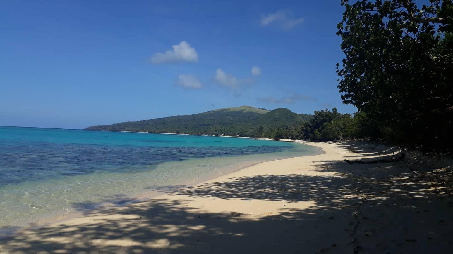
Four villages, white beaches and a protected reef
Adrasan
Antalya, TR
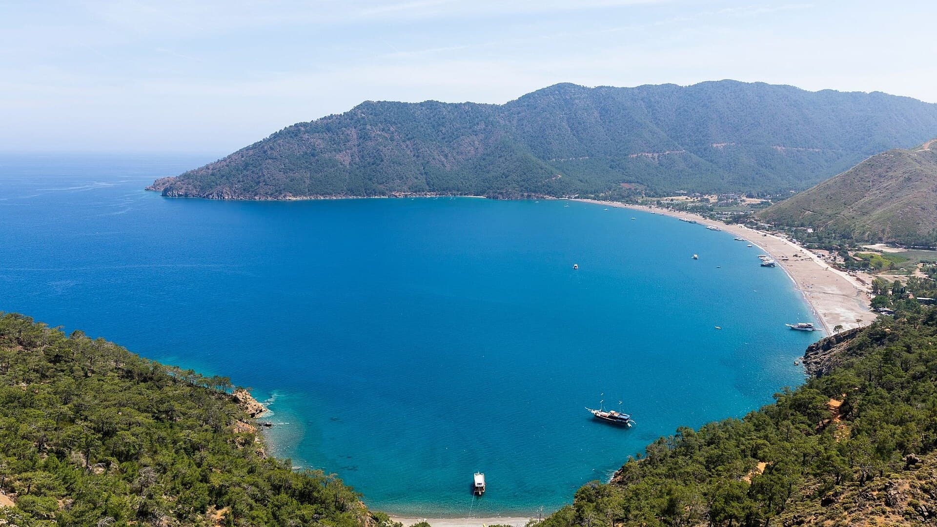
A pine-backed bay where the days move slowly
Air Batang
Pahang, Malaysia
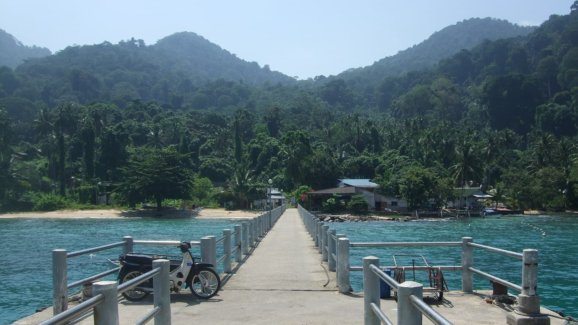
A car-free Tioman village for divers and walkers
Akyaka
Muğla, Türkiye
Azmak boats, kitesurf wind and wooden balconies
Angastaco Guide
Salta, Argentina
Torrontés wine and red hills in Salta's Calchaquí valley
Aralsk Guide
Kyzylorda, Kazakhstan
The sea left, the ships stayed

Save these places to your list
Copy the spots you picked into your list — maps and notes included.