
Angastaco Guide
Torrontés wine and red hills in Salta's Calchaquí valley
1 selected
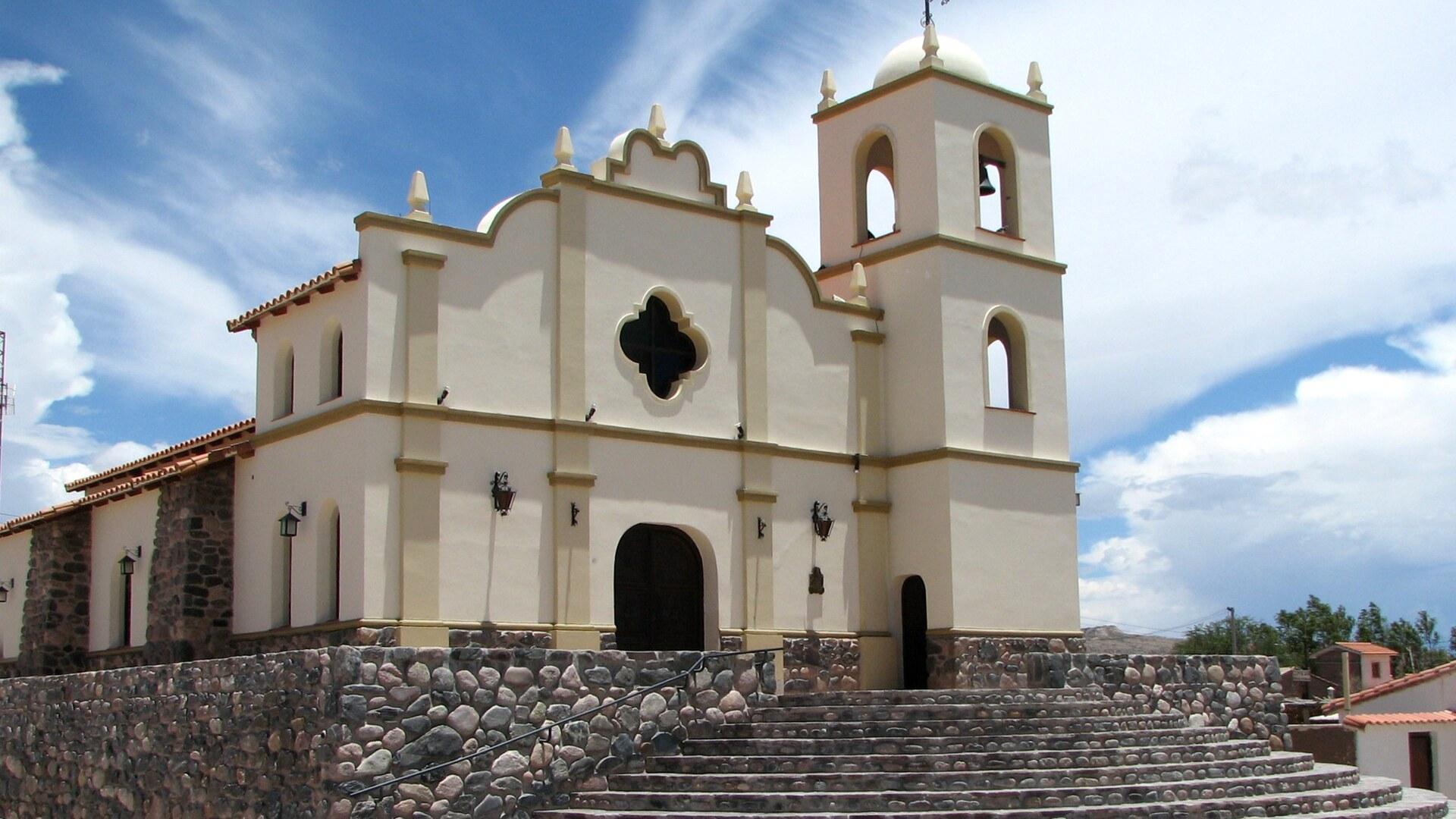
Angastaco is a village in the Valles Calchaquíes of Salta Province, Argentina, where adobe houses with outside galleries and whitewashed fronts are strung along 2 or 3 km. It lies in San Carlos Department, in a valley crossed by the Angastaco river. Lush green crops stand out against the sandy soil of the valley.
The village has a hostería, a Centro Cívico and the Museo Arqueológico. A church stands on a corner of the plaza. The climate is warm and dry, and the sky above the whitewashed fronts is a clear blue. The Angastaco river is an oasis where a semi-desert environment merges with the local vegetation.
Hiking, horseback riding and rural tourism are on offer here. A night tour lets you watch the moon. Cabalgatas and caminatas, meaning horseback rides and walks, are the recommended ways to see the landscape. Finca El Carmen, close to the village, offers rural tourism with accommodation, excursions to heritage places, hot springs and horseback riding. Cuesta del Obispo, in the Calchaquí Valleys, is recommended for downhill cycling by adventure lovers.
Quebrada de las Flechas is a ravine extending 20 km from Angastaco to the Calchaquí River. Pointed inclined rock formations form narrow gorges there, with walls about 20 meters high. Corte El Ventisquero and Corte El Cañón are among its notable formations. Its rocks date back 15 to 20 million years and belong to the Angastaco Formation. The ravine is part of an area important for bird conservation in Argentina. The colors change through the day, bright in the morning and ochre in the afternoon. That is why it is best traveled before sunset.
Los Colorados, a few kilometers west of Angastaco, is a natural amphitheater of multicolored mountains dominated by red. The statue of Cristo de la Humildad y de la Paciencia stands in its center. From there you can watch the hills and the cardones. Condors have been seen gliding over the multicolored hills. The area around Angastaco has a lunar landscape. Among its mammals are the murciélago orejudo grande and the cui chico, and the zorro gris chico is easily seen. Cachi, in the Calchaquí Valleys, has giant cactuses, peaks and archaeological treasures. Los Cardones National Park protects the region's giant cactus species.
From a Franciscan mission to a church opened in 1979
Angastaco's recorded story starts in the mid-eighteenth century, when indigenous people settled here depended on the Franciscan Mission of Calchaquí Rosario in San Isidro, near Cafayate. The name means "Eagle of the Carob tree" (águila del algarrobo) in its original language. The Santa María culture lived here before the Spanish arrived and left funerary urns and vessels among ancient rocks near Finca El Carmen, by Quebrada de las Flechas. Pucará, a village near Angastaco, evokes the history of native resistance. The resistance it recalls is above all that of cacique Juan Calchaquí. Finca El Carmen, about 8 km north of Angastaco on Route 40, holds one of the oldest churches in the Calchaquí Valley. That church dates from 1780. It was restored in 1969. A few steps from the village, the Capilla del Carmen is a symbol of colonial art in the Valles Calchaquíes. It is being rebuilt. Piedra Pintada, passed by Route 40, was once the site of a Jesuit mission. The village church stands on a small hill and follows colonial architectural style. It dates from the late 1970s. The Municipality of Angastaco built it between 1976 and 1979. It opened on 8 December 1979. Each December the village celebrates Nuestra Señora del Valle with a procession through its streets. Gaucho skills displays are part of the celebration. So is regional food.
Torrontés, patero wine and empanadas around Angastaco
Angastaco is the most important wine-producing area of Salta and is known for its artisanal Torrontés. Regional patero wines and mistelas come from here too. The main crops are vines, cereals and fruit. Spices such as paprika (pimentón), anis and cumin grow alongside them. The Festival de la Uva y el Vino Patero in Angastaco includes a large regional food fair. Torrontés from the Ruta del Vino de Altura pairs well with empanadas salteñas. It also goes with locro norteño. Seafood is another good match. So are spicy Thai dishes. The Ruta del Vino de Altura follows Ruta Nacional 68 and Ruta Nacional 40. Along it you can taste the highest wines in the world at Salta wineries. Traditional empanadas, tamales and humitas are easy to find in Cafayate. Ice cream made from local wines is a treat to try there. Most wine cellars around Cafayate host free guided tours. Cafayate's Museo de la Vid y el Vino adds to the experience of the wine route. Doña Salta, a restaurant near Plaza 9 de Julio in Salta city, is known for meat and wine.
Reaching Angastaco on Ruta Nacional 40 from Salta
To reach Angastaco from Salta city, take Ruta Nacional 68 south and then west onto Ruta Nacional 40. Angastaco lies on Ruta Nacional 40 in the Calchaquí Valley. The paved Ruta Nacional 68 links Salta and Cafayate. The stretch of Ruta Nacional 40 from Cafayate to Cachi is unpaved. It should be avoided in the rainy season. Quebrada de las Flechas is on Ruta Nacional 40, 70 km north of Cafayate. Buses from Cafayate to Salta take about 4 hours. FlechaBus runs six daily departures on that route. Shared cars from Cafayate to Salta take about 3 hours. They leave in front of the Teleferico. Salta's bus station is one block from Parque San Martín. It is 8 blocks from the main plaza. It has connections to all major cities in Argentina. Salta is typically visited as a launching point for nature and small towns in the region.
Driving the gravel of Route 40 around Angastaco
Angastaco is the gateway to Quebrada de las Flechas, and the narrow road opens up as you travel toward the village. Quebrada de las Flechas can be driven on Route 40. The consolidated gravel stretch is in good condition. Any type of vehicle can travel it. On the gravel between Cafayate and Quebrada de las Flechas it is not advisable to exceed 20 to 25 km/h. The road is very bumpy. The Cafayate to Cachi stretch of Route 40 takes about 5 hours at moderate speed on gravel. It is best not driven at night. Some travelers cross the Quebrada de las Flechas formations on horseback by the light of the full moon. They follow the Calchaquí River ravine instead of the road. Cafayate can be explored on foot. Several places in Cafayate hire bicycles to explore the area. Salta's SAETA buses require a transit card. SUBE cards do not work there. Tours around the Salta region usually last all day. They are sold as bilingual. They stop at a restaurant for lunch. Cerro San Bernardo in Salta is reached by cable car from Parque San Martín or on foot via 1,070 steps.
Weather, roads and packing for Angastaco
The recommended stay in Angastaco is 1 to 2 days, and a light jacket is advised for the temperature changes. Quebrada de las Flechas is recommended as a 1-day visit. The Calchaquí Valleys are recommended as an 8 to 10 day trip. Can I travel the roads after rain? Roads are difficult to travel when it rains. Check road conditions before travelling to Angastaco. What is the weather like in Quebrada de las Flechas? It has a dry climate, warm in summer and cold in winter, with a wide temperature range. Warm clothes and a windbreaker are recommended. Which roads close in the rainy season? Summer is rainy season in Cafayate. Roads there are often flooded or closed by rockfall, and the tourist information office on the central plaza has up-to-date road information. Is cycling in Quebrada de las Flechas a good idea in summer? Cyclists should avoid full midday sun because of high temperatures. The stony dusty terrain is harder in the summer rainy season. What are the seasons like in Salta city? Salta has four distinct seasons. Summer daytime highs are around 26 to 28°C. Winters are dry with frequent frosts.
FAQ
What is covered in the Angastaco guide?
Plan a trip to Angastaco in Salta, Argentina: discover Torrontés wine, the Quebrada de las Flechas ravine, the red hills of Los Colorados and practical tips. It includes 1 recommendations across 1 gallery.
Next →How many places are in the Angastaco guide?
The Angastaco guide lists 1 places: 1 gallery.
Next →Where is Angastaco?
Angastaco is in Angastaco, Salta, Argentina (-25.6330, -66.1830).
Next →How do you get to Angastaco?
To reach Angastaco from Salta city, take Ruta Nacional 68 south and then west onto Ruta Nacional 40. Angastaco lies on Ruta Nacional 40 in the Calchaquí Valley. The paved Ruta Nacional 68 links Salta and Cafayate. The stretch of Ruta Nacional 40 from Cafayate to Cachi is unpaved. It should be avoided in the rainy se…
Next →What should you eat in Angastaco?
Angastaco is the most important wine-producing area of Salta and is known for its artisanal Torrontés. Regional patero wines and mistelas come from here too. The main crops are vines, cereals and fruit. Spices such as paprika (pimentón), anis and cumin grow alongside them. The Festival de la Uva y el Vino Patero in…
Next →Is there camping in Angastaco?
No camping listings in this pack yet — we do not invent venues. Entries will appear once verified.
Next →Can you rent a bike in Angastaco?
No bike rental listings in this pack yet. Verified shops will be added when available.
Next →What are recommended gallery in Angastaco?
Highlighted gallery in the Angastaco guide: Church of Angastaco.
Next →Highlighted places
- Church of Angastaco — The church of Angastaco on its small hill, built in colonial architectural style in the late 1970s.
Explore on the map
Tap a pin to highlight its place card
All
1 spots
Recommended places
Gallery
1 · 1 selected
Church of Angastaco
gallery
Related guides
Browse nearby destinations
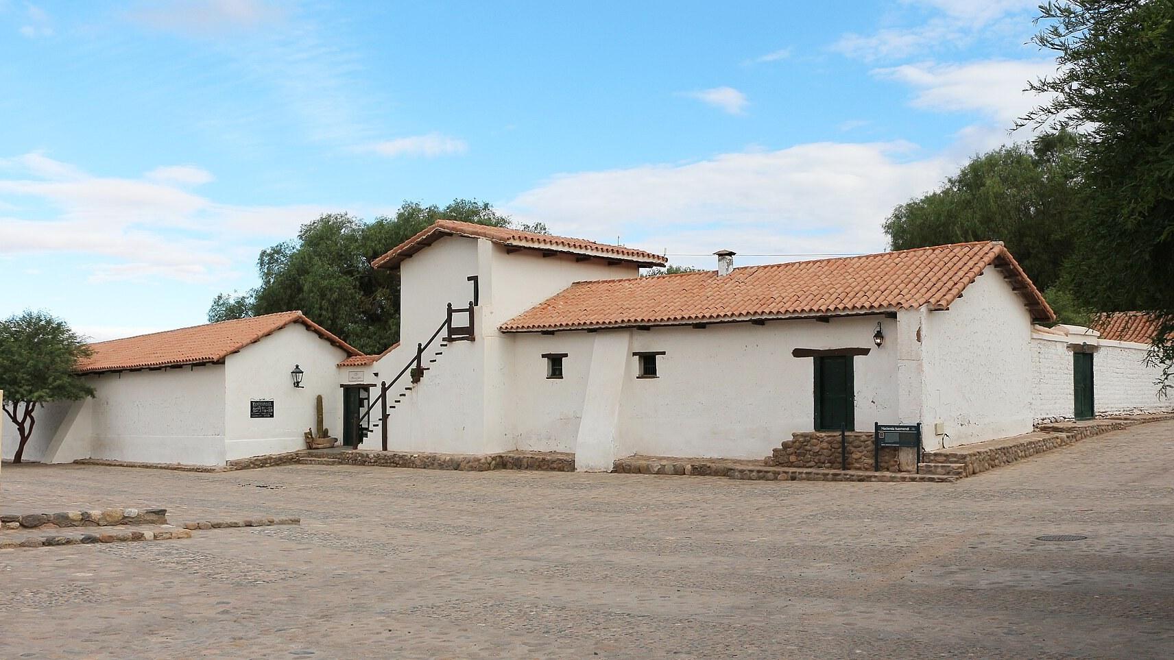
Molinos Guide
Salta, Argentina
Adobe lanes, a colonial church and vicuña wool
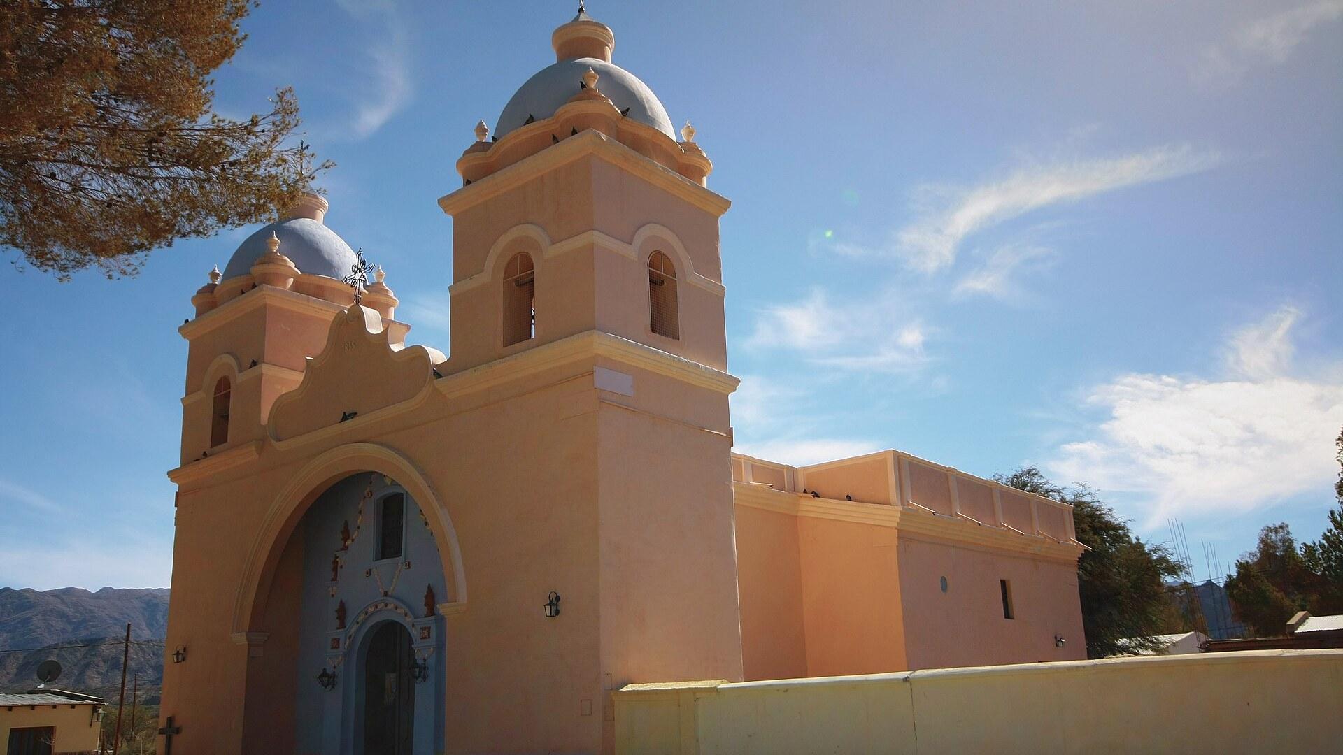
Seclantás Guide
Salta, Argentina
Looms, adobe lanes and valley views in Salta
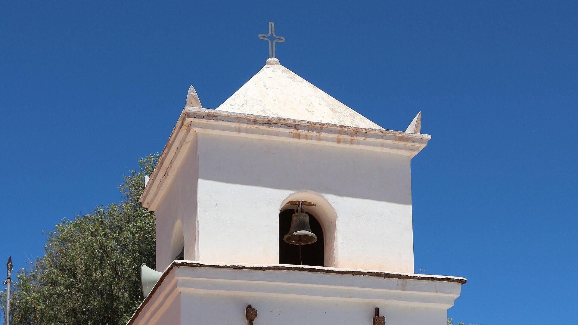
Uquía Guide
Jujuy, Argentina
Adobe chapel, carnival devils and coloured mountains
Adrasan
Antalya, TR
A pine-backed bay where the days move slowly
Air Batang
Pahang, Malaysia
A car-free Tioman village for divers and walkers
Akyaka
Muğla, Türkiye
Azmak boats, kitesurf wind and wooden balconies

Save these places to your list
Copy the spots you picked into your list — maps and notes included.