
Terjit Guide
A quiet palm oasis in a Saharan gorge
1 selected
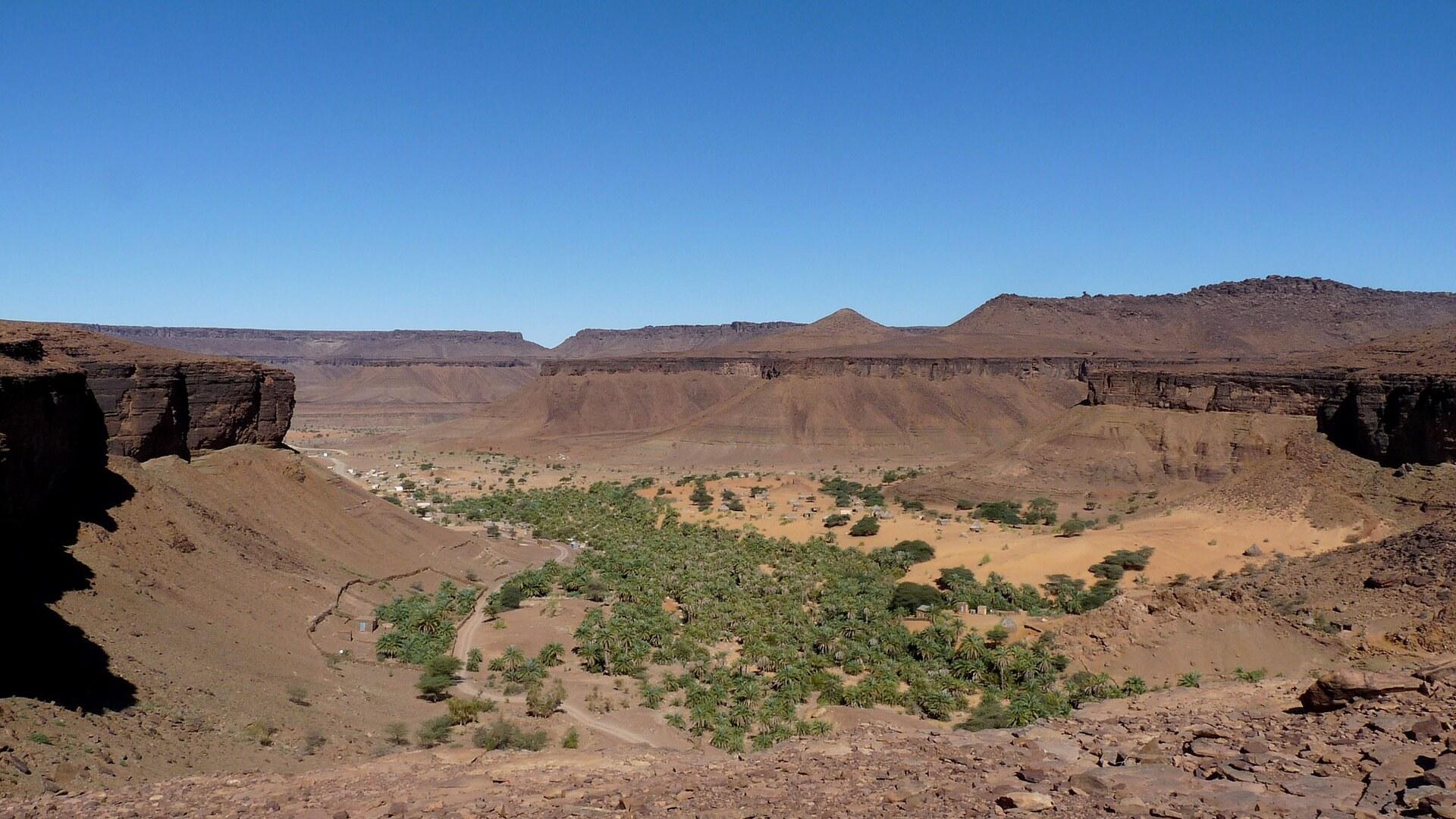
Terjit, also spelled Tergit, is a lush green and very peaceful oasis settlement in Saharan Mauritania. You find it in a gorge on the western edge of the Adrar Plateau, in the Adrar Region. On the administrative map it belongs to the commune of Maaden, inside the Aoujeft Department.
A stream rises from a spring and runs beside the palm grove, which stretches a few hundred metres along its banks. People come to escape the desert heat, and tourism here rests on charm, fresh water and shade. The oasis is picture-perfect and sits in a deep valley, and that setting is the main attraction of Terjit.
Picnic areas are laid out among the palms, and a natural pool invites you to cool off. The pool is too small and shallow for swimming. The rear, eastern part of the oasis has an entrance fee, paid once per visitor.
Several hikes can be done around Terjit. Bring sun protection and sure footing, and have some experience finding your way in the mountains. Two paths start at the southeast end of the oasis and head west, one along the northeast escarpment and one along the southwest escarpment.
The northern path leads back from the plateau into the oasis at about the height of the Auberge Chez Jemal. The southern path is a little longer and reaches the road towards Aoujeft, where you walk about 1 km back to the entrance of the oasis.
Weddings, Princes and the Past Around Terjit
Terjit, the oasis in the Adrar gorge, has historically served as a venue for religious ceremonies, weddings above all. A few African princes were crowned there as well. Over in Atar, the Atar Mosque dates from 1674 and counts among the oldest mosques in Mauritania. The Paris Dakar Rally, held every January, once made a key stop at Atar. Chinguetti was founded in the 13th century as a trans-Saharan trading centre. In 1996 UNESCO designated it a World Heritage Site, together with Ouadane, Tichitt and Oualata. The Friday Mosque of Chinguetti is a dry-stone building from the 13th-14th century, with a square minaret topped by five ostrich egg finials. Its old quarter holds five important manuscript libraries. The Adrar of Mauritania also has the remains of the Almoravid capital Azoughui, along with rock paintings. At Agrour Amogjar, in the Amogjar Pass near Chinguetti, the paintings show giraffes, cows and people in a green landscape.
Dates, Sardines and Auberge Meals at Terjit
Food at Terjit is limited to what the auberges serve their guests and what a few small shops stock. The shops sell water, biscuits and cans of sardines. Sometimes the owner has to be called before the store opens. Dates are harvested locally at Terjit. You can buy them directly from the producer. In Atar, Restaurant Agadir in the centre serves typical Moroccan fare. Restaurant De la Coin there is a hole-in-the-wall Senegalese place.
Reaching Terjit from Atar, Nouakchott and Choum
Terjit lies 45 km by road south of Atar, the gateway town of the Adrar region in Mauritania. The oasis is 11 km from the N1, the Atar-Nouakchott highway. Buses from Nouakchott or Akjoujt that go to Aoujeft or Oujeft pass through Terjit. Bush taxis run from Atar to Terjit, and you can arrange one at the garage, the market or most hotels in Atar. Another option is to ride to Ras Darf, a police checkpoint and junction on the N1, and wait there for a lift towards Terjit or Aoujeft. A paved and fast road runs from Nouakchott to Atar. Minibuses and bush taxis for Atar leave Nouakchott from the Garage Atar at the end of town. The Iron Ore Train from Nouadhibou to Choum runs once a day. It leaves Nouadhibou at around 15:00 and reaches Choum, the stop for Atar, at around 02:00 the next morning. Bush taxis and pickups wait at Choum to take passengers on to Atar. The ride from Choum to Atar typically takes about 2 h, but it could take much longer if the vehicle breaks down. Atar Airport used to have a daily flight from Marseille, France, but now only small charter flights are available. Charter flights from France to Atar run through the winter. East of Atar, through the Amojjar Pass, lies the difficult passage to Chinguetti, Ouadane and the Richat Structure.
Day Trips, Bush Taxis and Walking Around Atar
Terjit appears among the day trips from Atar, and vehicles for such outings can be arranged at the garage, the market or most hotels in Atar. Bush taxis or 4x4s from Atar to Choum, Chinguetti, Terjit or Nouakchott are booked the same way. The oases of Terjit and Mhaireth, the dunes of Valle Blanche and Amatlich, and the old towns of Azougi and Chinguetti can all be seen on such trips. The Adrar massif also offers 4x4 trips off-piste through narrow canyons to hidden oases that have sheltered Sahara traders for centuries. Auberge Bab Sahara in Atar lies about 1 km outside town on the road to Choum and can help arrange bush taxis or tours. Atar is small and easy to walk, although some auberges and resorts lie quite far out of town. Taxis usually wait around the traffic circle in the centre of Atar. Some countries, such as the United States, advise citizens not to use Mauritanian taxis because they are poorly maintained. Use trusted, pre-arranged taxis.
Ouguiya, ATMs and Internet Around Terjit
Money matters near Terjit start with a warning: Mauritania is poorly connected to the international banking system, and cash may not be available at all ATMs, especially in regional Mauritania. Do not rely solely on ATMs. The currency of Mauritania is the ouguiya, ISO code MRU. It was revalued in December 2017 at 10 old UM (MRO) to 1 new UM (MRU), and it may not be taken out of the country. ATMs in Nouakchott and Nouadhibou accept international Visa cards at banks such as BNP and Attijari. Societe Generale ATMs there also accept MasterCard. For internet in Atar, Elmejd Info, south of the NP petrol station, is the only internet cafe in town.
Heat, Mosquitoes and Checkpoints: Terjit Tips
Terjit rewards preparation, because it is easy to get lost walking in the desert or the mountains around the oasis. Where can you sleep at Terjit? There are tents in the palm groves in which visitors can pay to stay. Several auberges let guests pitch their own tent or rent small cabins. Which auberges are there? Auberge des Caravanes offers small huts with mosquito nets, with good showers and toilets. Chez Jemal is a tented camp with facilities available. How hot does it get? Terjit has a mean daily maximum of 27.2 °C in January and 41.1 °C in June, rising to 41.3 °C in July. Over the year the mean daily maximum is 35.0 °C, and mean daily minimums run from 12.8 °C in January to 26.2 °C in August. Does it rain? Terjit receives about 77 mm of rain a year, mostly 26 mm in August and 26 mm in September. April and May are completely dry. What should you bring? Bring extra supplies, because the local shops are so limited. Protect yourself against mosquitoes, which can carry malaria. Is hiking risky? Getting lost while hiking could be dangerous, so do not wander off too far. Do you need a visa for Mauritania? Mauritania's visa policy changed in January 2025, and most travellers now need to apply for an E-Visa. It is normally approved within 1-3 business days. What about checkpoints in Mauritania? Mauritania has numerous police and military checkpoints on all major roads. Carry 30-40 copies of a fiche with your passport and vehicle information, since giving away 5-10 copies a day at checkpoints is not uncommon. How should you behave in the north of Mauritania? Mauritania is an Islamic Republic, and people in the north have a reputation for being very conservative and quite reserved. Is Mauritania safe? For people from outside the Maghreb there is a risk of kidnapping in Mauritania, especially in the more remote northern and eastern parts. Extremist groups pose a danger to visitors. Which languages are spoken in Mauritania? Arabic is the official language, with Hassaniya as the local dialect. French is widely spoken, while English is not. What plugs does Mauritania use? Mauritania uses 220 V / 50 Hz electricity with Europlug sockets.
FAQ
What is covered in the Terjit guide?
Discover Terjit, a green palm-grove oasis in an Adrar gorge in Mauritania, 45 km south of Atar. Plan your hikes, choose an auberge and see what to pack. It includes 1 recommendations across 1 gallery.
Next →How many places are in the Terjit guide?
The Terjit guide lists 1 places: 1 gallery.
Next →Where is Terjit?
Terjit is in Terjit, Adrar, Mauritania (20.2500, -13.1000).
Next →How do you get to Terjit?
Terjit lies 45 km by road south of Atar, the gateway town of the Adrar region in Mauritania. The oasis is 11 km from the N1, the Atar-Nouakchott highway. Buses from Nouakchott or Akjoujt that go to Aoujeft or Oujeft pass through Terjit. Bush taxis run from Atar to Terjit, and you can arrange one at the garage, the…
Next →What should you eat in Terjit?
Food at Terjit is limited to what the auberges serve their guests and what a few small shops stock. The shops sell water, biscuits and cans of sardines. Sometimes the owner has to be called before the store opens. Dates are harvested locally at Terjit. You can buy them directly from the producer. In Atar, Restaur…
Next →Is there camping in Terjit?
No camping listings in this pack yet — we do not invent venues. Entries will appear once verified.
Next →Can you rent a bike in Terjit?
No bike rental listings in this pack yet. Verified shops will be added when available.
Next →What are recommended gallery in Terjit?
Highlighted gallery in the Terjit guide: Terjit oasis.
Next →Highlighted places
- Terjit oasis — The palm grove of Terjit in its gorge on the edge of the Adrar plateau.
Explore on the map
Tap a pin to highlight its place card
All
1 spots
Recommended places
Gallery
1 · 1 selected
Terjit oasis
gallery
Related guides
Browse nearby destinations
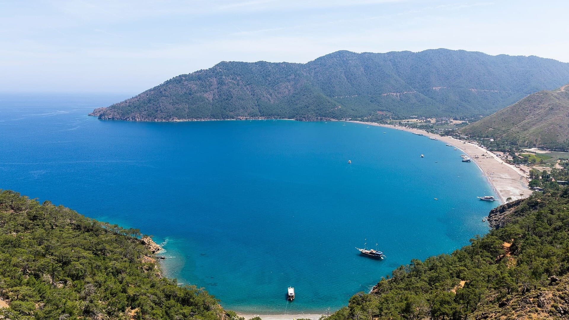
Adrasan
Antalya, TR
A pine-backed bay where the days move slowly
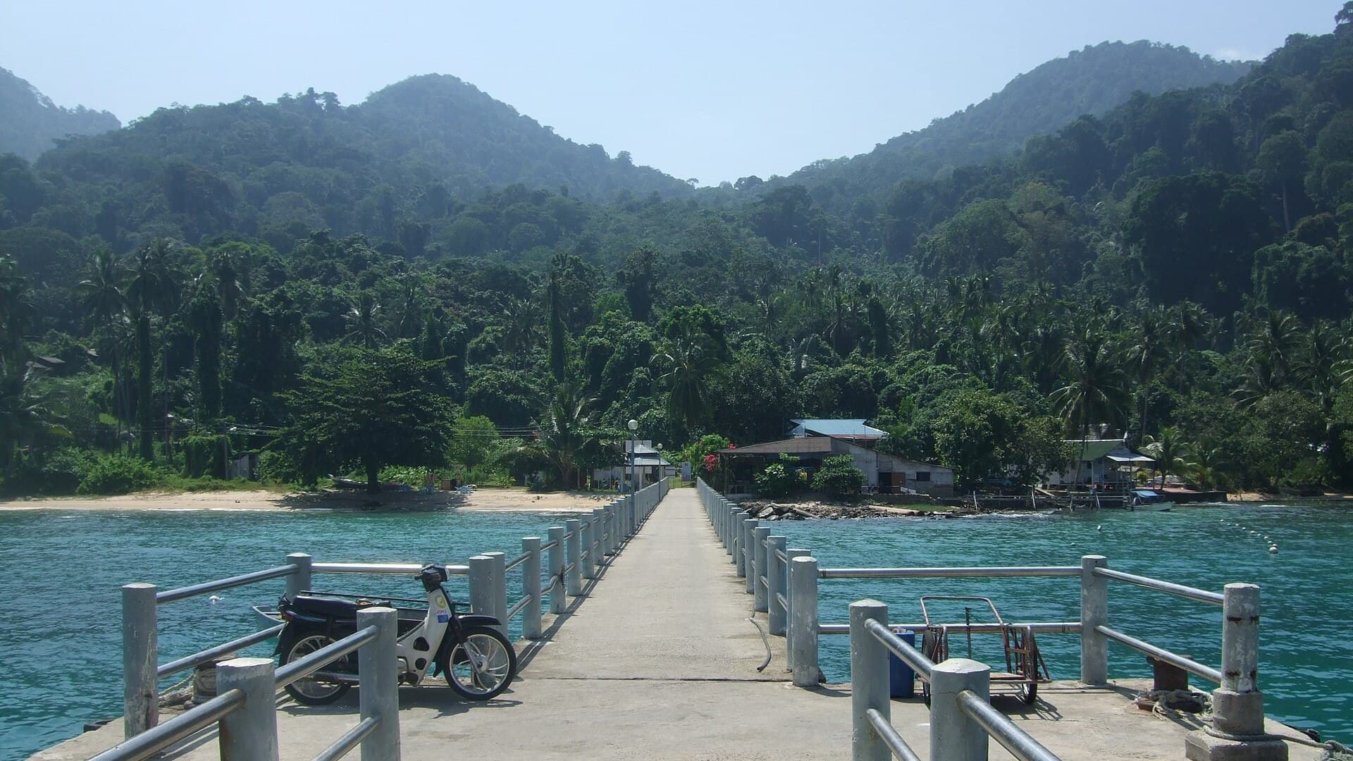
Air Batang
Pahang, Malaysia
A car-free Tioman village for divers and walkers
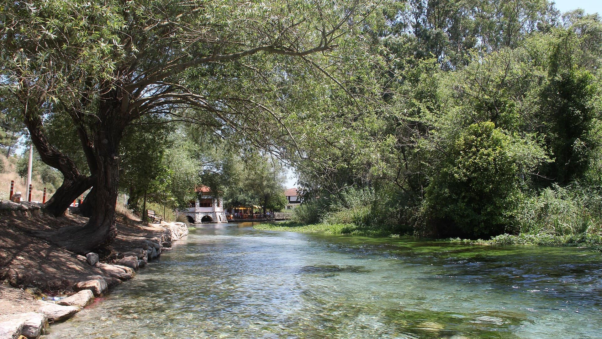
Akyaka
Muğla, Türkiye
Azmak boats, kitesurf wind and wooden balconies
Aneityum Guide
Tafea, Vanuatu
Beaches, reef and quiet in Vanuatu's far south
Angastaco Guide
Salta, Argentina
Torrontés wine and red hills in Salta's Calchaquí valley
Aralsk Guide
Kyzylorda, Kazakhstan
The sea left, the ships stayed

Save these places to your list
Copy the spots you picked into your list — maps and notes included.