
Manuʻa Islands Guide
Three volcanic islands east of Tutuila
1 selected
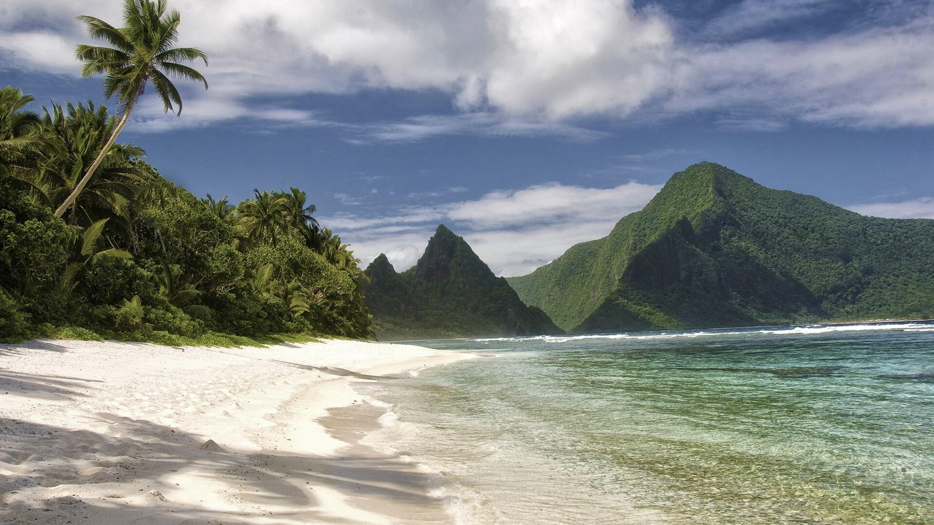
The Manuʻa Islands, in the region of American Samoa and the country American Samoa, are three volcanic islands: Taʻū, Ofu and Olosega. They lie about 110 km east of Tutuila. Together they cover 56 km2 and rise as mountainous volcanic remnants 14 degrees south of the equator.
You are told that life in Manuʻa is slower and more traditionally Samoan than on Tutuila, which lies about 60 miles to the west. All land here is owned communally by Samoan families. That includes the National Park lands, which are leased for 50 years.
Ofu and Olosega are the westernmost of the Manuʻa Islands. They are very much off the beaten track and not set up for tourism, yet they have green cliffs, beaches and bright blue lagoons. Only the shallow Āsaga Strait, 137 m wide, separates the two, and a bridge links them. Olosega's name means fortress of parakeets.
Ofu is widely regarded as one of the most stunning beaches in the South Pacific, with high peaks dropping to white sand where the only other footsteps are those of crabs. Ofu Beach is two miles long, and most visitors find it the most attractive of the park's units. Mount Tumutumu, the highest peak on Ofu, reaches 491 m, and Mount Piumafua on Olosega reaches 629 m. The sharp peak you see from Olosega across the strait is Sunuʻitao, an eroding dike complex.
Toʻaga lagoon on the south coast of Ofu has a high diversity of corals and fishes. Toʻaga Beach has a pristine coral reef along its shore that is good for snorkeling. Snorkeling and diving are popular around Ofu, and in the morning you can look for octopus and turtles over the reef. The Samoa Flying-fox, a bat threatened by habitat loss, lives on Ofu.
Taʻū is the largest of the Manuʻa Islands at 44 km2, and Lata Mountain at 931 m is the highest point of Manuʻa. The sea cliffs on the south coast rise to 3,000 feet, among the tallest in the world, and you can walk along the coastline at their base. Laufuti Falls descends more than 300 m toward the ocean on the southern shore. The Taʻū unit of the National Park of American Samoa is the largest and wildest of the three units.
Saua, within the Taʻū unit, is an ancient sacred site considered the birthplace of the Polynesian people. A trail runs from Saua around Siʻu Point to the southern coastline. Off southwest Taʻū the Valley of Giants holds Big Momma (Fale Bommie), a coral head 6.4 m high. Manuʻa also has birds not found on Tutuila, including the spotless crake, and you can easily see Samoan birds such as the fuia and iao. Coral rubble beaches at Ofu and Taʻū are difficult to walk on, and rocky areas can be slippery.
From Tui Manuʻa to a 1915 hurricane and today's solar power
The history of the Manuʻa Islands reaches from pottery about 1850 BCE on Ofu to the Tui Manuʻa, a hurricane in 1915 and the solar power on Taʻū today. Manuʻa was the seat of the Tui Manuʻa. It was the only part of Samoa never subjected to Tongan rule, because both Tongans and Samoans regarded it as sacred. Pottery found at Toʻaga on the south coast of Ofu dates to about 1850 BCE and is the earliest recorded in the Samoan Islands. People have lived on Ofu for about 3,000 years. In 1768 Bougainville anchored off Ofu and Olosega and named Samoa the Navigator Islands after the canoe skill of the Samoans. A hurricane on January 9, 1915 devastated the islands and washed away the village of Sili on Olosega. The most recent volcanic eruption was in 1866, 3 km east of Olosega. Taʻū is where Margaret Mead carried out her 1920s research for Coming of Age in Samoa. Since 2016 the island has run almost 100% on solar power.
What reaches the table in Manuʻa Islands
Eating out in the Manuʻa Islands is limited: Tutuila has a wide variety of places to eat, but the outer islands including Manuʻa have far less variety. The signature dishes of American Samoa include palusami, luau and supoesi. Kava is often considered the national drink.
Flights and boats from Tutuila to Manuʻa Islands
Getting to the Manuʻa Islands means a flight from Pago Pago or a boat from Tutuila, and the schedules are described differently and unreliably. You must fly into Pago Pago International Airport on Tutuila first, then take a short flight to Taʻū or Ofu. One description gives 3 flights per week from Pago Pago to Fitiuta Airport on Taʻū as of July 2022. A visitor guide notes a weekly flight from Pago Pago to Fitiʻuta. Reaching Manuʻa is difficult because transport schedules are unreliable. The flight between Pago Pago and the Manuʻa Islands takes approximately 30-40 min, and extra flights are generally added as needed. The largest airport in the Manuʻa Islands lies at Fitiʻuta village, on the northeast corner of Taʻū. Ofu Airport lies 2 km southeast of Ofu village. Ofu has a small airport and a boat harbor serving both Ofu and Olosega. A government-operated excursion boat provides a weekly ferry service from Pago Pago to the Manuʻa Islands and first travels around Tutuila. After you land at Fitiuta airport, locals with boats are available to take you to Ofu and Olosega. Small fisherman boats from Taʻū to Ofu are not very reliable.
Roads, a bridge and boats between the islands
Moving around the Manuʻa Islands depends on one coastal road on Taʻū, a bridge between Ofu and Olosega and boats. According to the park visitor guide, there are no buses or taxis on Taʻū and Ofu. Taʻū has a roadway along the north coast that connects the villages from Taʻū village in the west to Fitiʻuta. A boat harbor on Taʻū is located at Faleāsao, at the northwestern corner of the island. Ofu and Olosega are connected by a single-lane bridge across the Āsaga Strait, which has existed since 1970. Before that people waded across at low tide, and you can still walk across from Olosega to Ofu at low tide. Trails in Manuʻa are poorly kept and quickly overgrown, so you are advised to take a guide when leaving the maintained paths. The trail to the summit of Lata Mountain on Taʻū has become overgrown and impassable without machete work, with a reported plan to rebuild it from June 2024.
Cash for Manuʻa Islands: dollars and one ATM on Tutuila
Money for the Manuʻa Islands is the U.S. dollar, the currency used throughout American Samoa. An ATM is available in Fagatogo at the ANZ Bank on Tutuila, so you should withdraw cash before flying to Manuʻa.
Seasons, park rules, health and village manners
Practical questions about the Manuʻa Islands touch on seasons, park access, health, hiking and village manners. When is the best time to visit? The dry season in American Samoa, from May to October, is generally considered the best time to visit the National Park, with less rain and calmer seas. The long wet summer season runs from October to May, with a slightly cooler, drier season from June to September. Tropical storms are more prevalent from October to May. What are the park rules? The National Park of American Samoa, including its Ofu and Taʻū units, is open 24 h a day year-round and requires no fees or reservations. No permits are needed for general entry on Taʻū and Ofu. Camping is not authorized on park land. What about health care? Medical care in Manuʻa is limited and none is available on the islands, so bring necessary medications. Treatment is available on Tutuila. A serious illness or injury will generally be evacuated to a hospital in Hawaii, Fiji or New Zealand. Dengue fever and chikungunya occur in American Samoa, so bring insect repellent containing DEET. What should I carry when hiking? When hiking on Taʻū or Ofu, bring plenty of water, two to three liters per hike, plus sun protection and sturdy shoes. Is swimming safe? On the beaches of Ofu, rip tides are common, so do not swim too far out and avoid touching coral. Sunday is a day of rest and church in the villages of Manuʻa, and swimming that is acceptable on other days may not be permitted. How should I behave in a village? Always ask villagers for permission before taking photographs or using the beach. At dusk villagers observe evening prayers called Sā, and you should stop and wait quietly until it ends. Do not eat or drink while walking through a village, and sit down when entering a fale. Stray dogs in American Samoa are territorial and often bite. What do I need to enter American Samoa? You need a passport valid for at least six months beyond your stay, a return or onward ticket and sufficient funds.
FAQ
What is covered in the Manuʻa Islands guide?
Plan a trip to the Manuʻa Islands in American Samoa: discover Ofu Beach, Taʻū's sea cliffs, village customs and how the flights and boats work. It includes 1 recommendations across 1 gallery.
Next →How many places are in the Manuʻa Islands guide?
The Manuʻa Islands guide lists 1 places: 1 gallery.
Next →Where is Manuʻa Islands?
Manuʻa Islands is in Manuʻa Islands, American Samoa, American Samoa (-14.2086, -169.5528).
Next →How do you get to Manuʻa Islands?
Getting to the Manuʻa Islands means a flight from Pago Pago or a boat from Tutuila, and the schedules are described differently and unreliably. You must fly into Pago Pago International Airport on Tutuila first, then take a short flight to Taʻū or Ofu. One description gives 3 flights per week from Pago Pago to Fiti…
Next →What should you eat in Manuʻa Islands?
Eating out in the Manuʻa Islands is limited: Tutuila has a wide variety of places to eat, but the outer islands including Manuʻa have far less variety. The signature dishes of American Samoa include palusami, luau and supoesi. Kava is often considered the national drink.
Next →Is there camping in Manuʻa Islands?
No camping listings in this pack yet — we do not invent venues. Entries will appear once verified.
Next →Can you rent a bike in Manuʻa Islands?
No bike rental listings in this pack yet. Verified shops will be added when available.
Next →What are recommended gallery in Manuʻa Islands?
Highlighted gallery in the Manuʻa Islands guide: Secluded beach on Ofu.
Next →Highlighted places
- Secluded beach on Ofu — A secluded white-sand beach with a fringing reef on Ofu, in the Ofu unit of the National Park of American Samoa.
Explore on the map
Tap a pin to highlight its place card
All
1 spots
Recommended places
Gallery
1 · 1 selected
Secluded beach on Ofu
gallery
Related guides
Browse nearby destinations
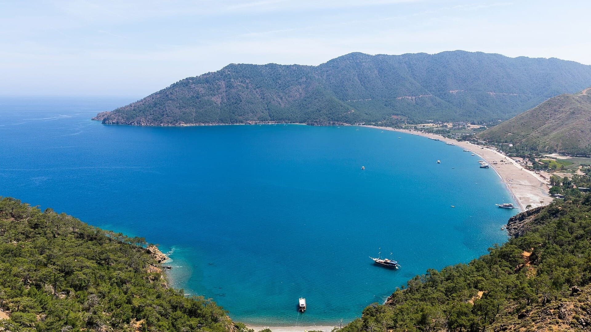
Adrasan
Antalya, TR
A pine-backed bay where the days move slowly
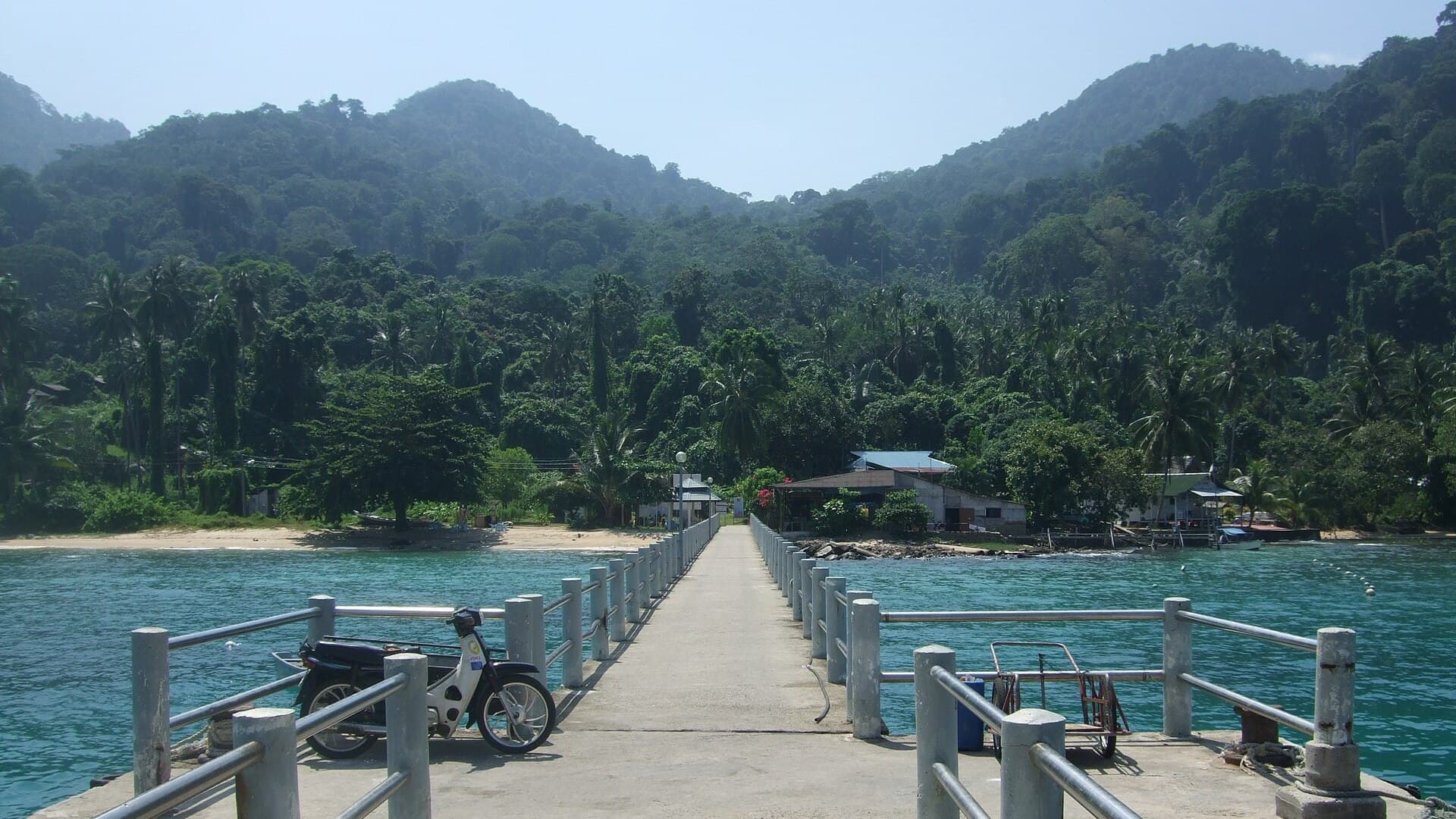
Air Batang
Pahang, Malaysia
A car-free Tioman village for divers and walkers
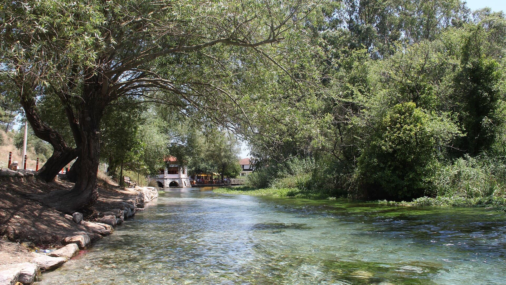
Akyaka
Muğla, Türkiye
Azmak boats, kitesurf wind and wooden balconies
Aneityum Guide
Tafea, Vanuatu
Beaches, reef and quiet in Vanuatu's far south
Angastaco Guide
Salta, Argentina
Torrontés wine and red hills in Salta's Calchaquí valley
Aralsk Guide
Kyzylorda, Kazakhstan
The sea left, the ships stayed

Save these places to your list
Copy the spots you picked into your list — maps and notes included.