
Cotahuasi Guide
Gateway to one of the deepest canyons on earth
1 selected
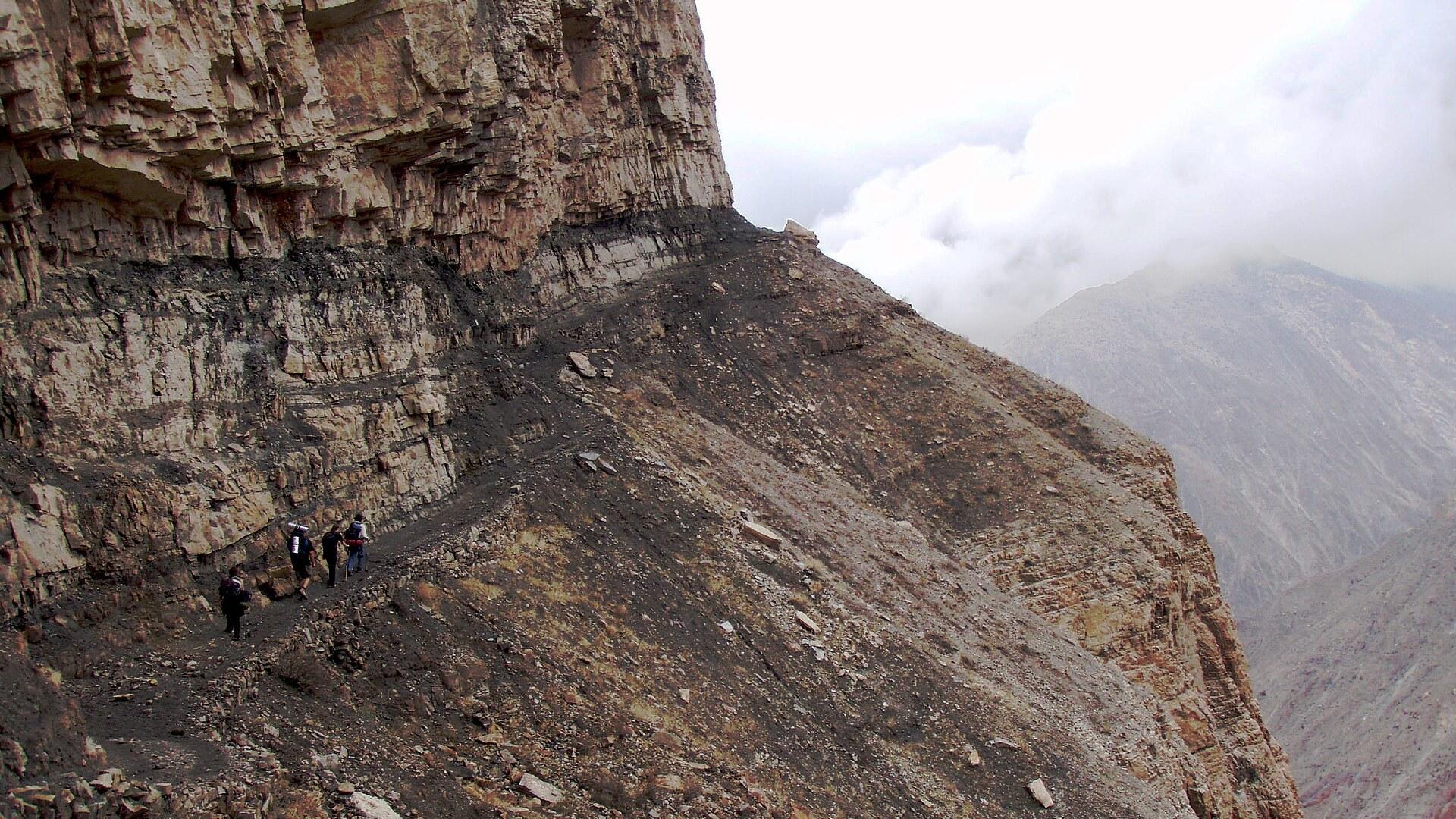
Cotahuasi is a quiet town in the Arequipa region of Peru, and it is the base for one of the deepest canyons on the planet. The Cotahuasi River carved the gorge between two volcanic massifs, Coropuna and Solimana. Its depth is given as roughly 3,354 m, more than twice that of the Grand Canyon, and the Quechua name Kutawasi still sits on the maps.
Do not expect one big viewpoint. The valley packs 19 ecological zones into a single river system, and the protected reserve spans 12 ecosystems, from the river at the bottom to the cold desert near the summits. You see that change as you move from village to village.
Follow the water and the shape of the place makes sense. The river rises at Lake Wansuqucha, joins the Maran River to form the Ocoña River, and that river ends at the Pacific Ocean. The canyon itself runs on to the confluence with the Ocoña near the village of Chaucalla. The reserve lies in La Unión Province and protects part of the Central Andean puna and the Sechura Desert ecoregions.
Start close to town. The Chaquicocha Lagoon, the Church of the Immaculate Conception and the Santa Ana Bell Tower are all near Cotahuasi itself. Further along the valley, Taurisma has ancient cedars, colonial churches and a retama forest, Tomepampa has a traditional church, and Alca is known for its farming, balconies and colonial houses.
Water is the other draw. The Luicho hot springs have three pools at around 35°C and open from 03:00 to 21:00, so an early soak is possible. Sipia waterfall, the symbol of the Cotahuasi Landscape Reserve, falls 150 m in a hard clash of water and rock.
If you prefer legs to bus seats, the Charcana-Quechualla trail is a trek of 5 to 6 h that descends into one of the deepest parts of the canyon. The guided tour reaches the deepest section too, where the Colca and Piro fields show off the farming and geology of the gorge.
What you get here is distance. Because of the altitude and remoteness, people in the highlands above Cotahuasi kept habits that have faded in neighbouring regions: weaving, a long festival calendar, and farming that mostly feeds the province rather than export.
Inca terraces and colonial churches around Cotahuasi
The past of Cotahuasi is written in stone terraces, church towers and customs that outlived the road. The reserve around the town holds many Inca and pre-Inca works, and the agricultural terraces among them are still in use today. Altitude and distance did the preserving. Because the highlands were so remote, residents kept practices that are no longer common in neighbouring regions. Weaving is the clearest example, and the region still counts numerous festivals, alongside Inca tracks that cross the slopes. The Spanish layer is easy to spot too. Near town you can see the Church of the Immaculate Conception and the Santa Ana Bell Tower. Further up the valley, Taurisma has colonial churches among its ancient cedars, Tomepampa has a traditional church, and Alca has colonial houses with balconies. The reserve is also a reminder of how much of this world still works. The terraces are not ruins behind a fence: farmers use them, and the same slopes carry the crops that feed the province. That continuity between Inca engineering and today's fields is the thing to look for as you travel through the valley, more than any single monument. Even the canyon's name is a trace of the old world: Kutawasi is Quechua. To link terraces, churches and villages without planning each leg, join the 2-day canyon tour, which stops at Taurisma, Tomepampa and Alca with a guide in Spanish and English. On your own, walk the terraces slowly and keep to the paths, since they are working farmland.
Trout, quinoa and mountain crops around Cotahuasi
Food in Cotahuasi comes straight from the valley farms and the river: trout for lunch at the Luicho hot springs, and a long list of organic Andean crops. That trout lunch is part of the 2-day canyon tour, so it is the easiest local meal to arrange. The same tour visits the Sipia waterfall and the villages of Taurisma, Tomepampa and Alca, which means the meal arrives in the middle of a full day outdoors. The farms are where the rest of the menu starts. Growers in the reserve produce kiwicha, quinoa, mint, dark maize, llacon, fava, oca, beans, arveja, chulpi maize, anise and tarwi. The farming is organic, and most of the harvest feeds the province rather than going abroad, so what you eat here is largely what the valley itself grows. Because the crops grow across such different ecosystems, the fields change from one stretch of the valley to the next. Alca is known for its agriculture, and the farmland around it is the place to see how kiwicha, quinoa and maize are worked. Treat those stops on the tour as a look at the kitchen garden of the whole province rather than a sideshow. If you want the trout without hunting for a table, sign up for the tour, because it is included in the day. If you are staying on your own in the villages, ask at your lodging where local cooks serve grain and bean dishes, and try the crops you have never heard of, oca and tarwi for a start.
By night bus from Arequipa to Cotahuasi
The way to Cotahuasi is by road from Arequipa, and the evening bus is how most people go. Several companies run from Arequipa's Terrapuerto to Cotahuasi and Alca, among them Ana Express, Inmaculada, Cromotex and Nazareno, and they leave between 18:00 and 19:00. The road is the story. It is the only road into the canyon, and it starts from the Panamerican Highway near Arequipa, runs through Chuquibamba in Condesuyos province and then Aplao in Castilla Province. After Chuquibamba the surface turns to dirt. Nothing about this trip is fast, and the timing shapes it. The night bus leaves between 18:00 and 19:00, and the tour transfer back also leaves at 18:00, so both directions put the long hours on the road into the night. Keep a warm layer within reach for the 4,500 m pass, because the route climbs between two big volcanoes. Then it climbs. A pass at 4,500 m lies between Coropuna and Solimana, and the unpaved stretch means you should expect a rough ride rather than a smooth one. Pick a bus company by departure time; all four leave within the same 60 min window. Leaving is easier to plan if you take the 2-day canyon tour, which ends with a transfer at 18:00 from Cotahuasi to the Arequipa bus terminal, arriving at 03:00 the next day. Whichever way you return, think about where you will sleep after a 03:00 arrival in Arequipa.
Village buses, early starts and guided tours
Getting around from Cotahuasi means buses to the canyon villages, and the timetable decides your day. Most villages around the canyon are connected, but some get only one service a day. For Pampamarca, buses leave Cotahuasi at 05:00 and 16:00 and come back at 06:00 and 13:00. The bus to Charcana leaves at 15:00 and returns at 06:00, which means a night in the village; local accommodation is easy to find, so this is simple to plan. Plan the day backwards from the return bus. A departure to Pampamarca at 05:00 and the return at 13:00 leaves the afternoon free, while the 16:00 departure means an overnight stay unless you take the 06:00 return the next morning. The extra Quechualla bus at 13:00 comes back at 16:00 only on Friday, Sunday and Monday, so check the day before you count on it. The Quechualla bus leaves at 05:30 and returns at 08:00, with an extra service on Friday, Sunday and Monday at 13:00, returning at 16:00. Charcana and Quechualla are the two ends of the trail that descends into the canyon in 5 to 6 h, so a night in Charcana followed by the walk down makes a natural plan. If juggling single daily buses sounds tiring, the 2-day canyon tour handles the movement for you. Groups are up to 15 people, with a guide in Spanish and English, and the route covers Taurisma, Tomepampa, Alca, the Luicho hot springs and the Sipia waterfall.
Paying for the canyon: tours, villages and timetables
Money and connectivity around Cotahuasi are easier to plan around the tour than around the town. Peru's currency is the sol, and the 2-day canyon tour includes a guide and the trout lunch at Luicho, then ends with the 18:00 transfer to Arequipa. Outside the tour you pay as you go: a seat on a village bus, a bed in a village, a place to camp. Every village of the canyon has local accommodation or room to pitch a tent, so you can settle each night when you reach it instead of booking the whole route in advance. The tour sits at the practical centre of the valley, so its fixed points are worth reading closely. It covers Taurisma, Tomepampa, Alca, the Luicho springs and the Sipia waterfall, with a guide, in groups of up to 15. Because it ends with the 18:00 transfer to Arequipa, it also settles your onward journey and leaves fewer separate payments to track. Remoteness shapes everything else. Many villages see one bus a day, and the road from Arequipa is unpaved after Chuquibamba, so build slack into anything that depends on a fixed time. Treat the village timetables, such as the 05:30 departure to Quechualla, and the Arequipa return times as your fixed points, and let the rest float. Because the reserve spans 12 ecosystems and a long run of settlements, you will not find the same services in each place. Do your paying and planning in Cotahuasi town before you set off for the smaller villages.
Practical questions before you go to Cotahuasi
A few practical points settle most of the planning for Cotahuasi. The questions below cover where to sleep, what to wear in the pools and who the tour suits. Where can I stay in the canyon villages? Every village of Cotahuasi Canyon has local accommodation or a place to camp, so you do not need to book each night far ahead. It matters most on the Charcana bus, which leaves at 15:00 and only returns at 06:00. What should I pack for the tour? Swimwear for the Luicho thermal baths, plus shoes you can walk and hike in, because the tour involves both. The pools sit at around 35°C. Is the 2-day tour suitable for everyone? No. It is not suitable for people with mobility impairments or heart problems. Groups have up to 15 people, and the guide speaks Spanish and English. When are the hot springs open? The Luicho springs open from 03:00 to 21:00 and have three pools. That leaves room for an early soak before a long day, or a late one after walking. Can I trek without a tour? Yes. The Charcana-Quechualla trail is a trek of 5 to 6 h that descends into one of the deepest parts of the canyon, and buses run to both villages: Charcana at 15:00 and Quechualla at 05:30. Plan the descent as a full day. Which villages are worth a stop on the tour? The tour visits Taurisma, with its ancient cedars and colonial churches, Tomepampa, with its traditional church, and Alca, known for its balconies and colonial houses. The Luicho hot springs and the Sipia waterfall complete the route.
FAQ
What is covered in the Cotahuasi guide?
Explore Cotahuasi in Arequipa, Peru: a 3,354 m deep canyon, Luicho hot springs, Sipia waterfall, Inca terraces and the bus times to get you there. It includes 1 recommendations across 1 gallery.
Next →How many places are in the Cotahuasi guide?
The Cotahuasi guide lists 1 places: 1 gallery.
Next →Where is Cotahuasi?
Cotahuasi is in Cotahuasi, Arequipa, Peru (-15.2092, -72.8903).
Next →How do you get to Cotahuasi?
The way to Cotahuasi is by road from Arequipa, and the evening bus is how most people go. Several companies run from Arequipa's Terrapuerto to Cotahuasi and Alca, among them Ana Express, Inmaculada, Cromotex and Nazareno, and they leave between 18:00 and 19:00. The road is the story. It is the only road into the ca…
Next →What should you eat in Cotahuasi?
Food in Cotahuasi comes straight from the valley farms and the river: trout for lunch at the Luicho hot springs, and a long list of organic Andean crops. That trout lunch is part of the 2-day canyon tour, so it is the easiest local meal to arrange. The same tour visits the Sipia waterfall and the villages of Tauris…
Next →Is there camping in Cotahuasi?
No camping listings in this pack yet — we do not invent venues. Entries will appear once verified.
Next →Can you rent a bike in Cotahuasi?
No bike rental listings in this pack yet. Verified shops will be added when available.
Next →What are recommended gallery in Cotahuasi?
Highlighted gallery in the Cotahuasi guide: Trail in Cotahuasi Canyon.
Next →Highlighted places
- Trail in Cotahuasi Canyon — Hikers on a trail in Cotahuasi Canyon, one of the deepest canyons in the world.
Explore on the map
Tap a pin to highlight its place card
All
1 spots
Recommended places
Gallery
1 · 1 selected
Trail in Cotahuasi Canyon
gallery
Related guides
Browse nearby destinations
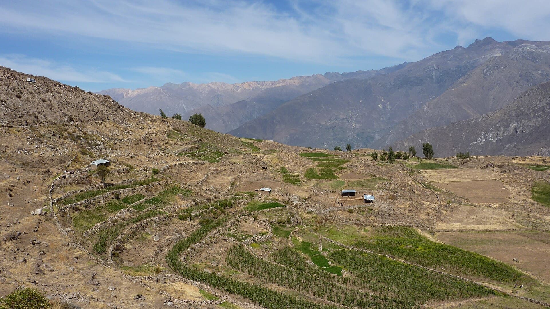
Cabanaconde Guide
Arequipa, Peru
The village where Colca Canyon treks begin
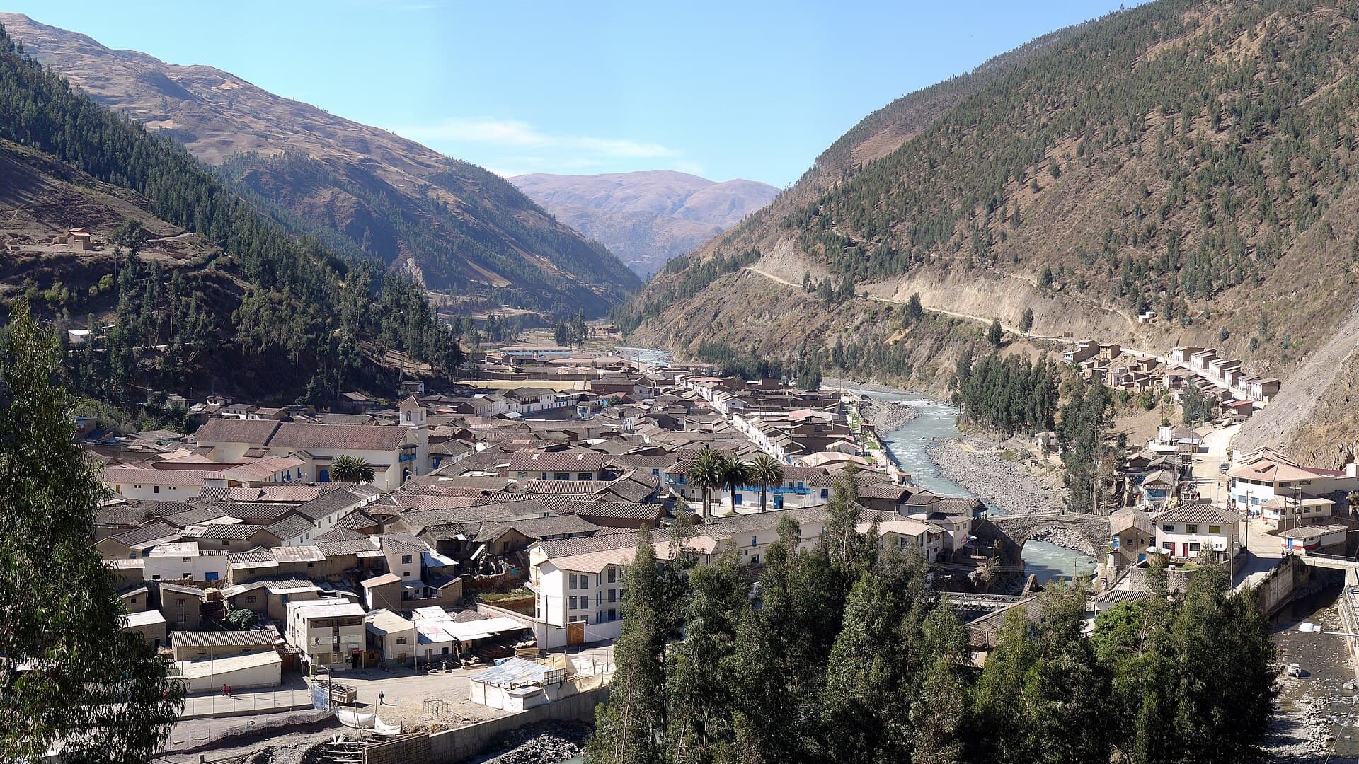
Paucartambo Guide
Cusco, Peru
Rival dance troupes, steep streets and a pass to Tres Cruces
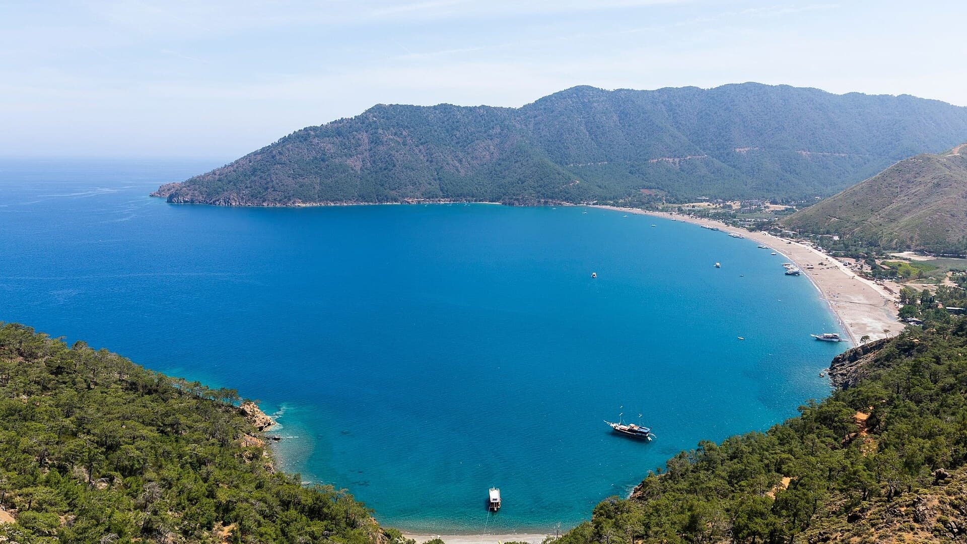
Adrasan
Antalya, TR
A pine-backed bay where the days move slowly
Air Batang
Pahang, Malaysia
A car-free Tioman village for divers and walkers
Akyaka
Muğla, Türkiye
Azmak boats, kitesurf wind and wooden balconies
Aralsk Guide
Kyzylorda, Kazakhstan
The sea left, the ships stayed

Save these places to your list
Copy the spots you picked into your list — maps and notes included.