
Barskoon Guide
Gorge, waterfalls and a Silk Road past on Issyk-Kul
1 selected
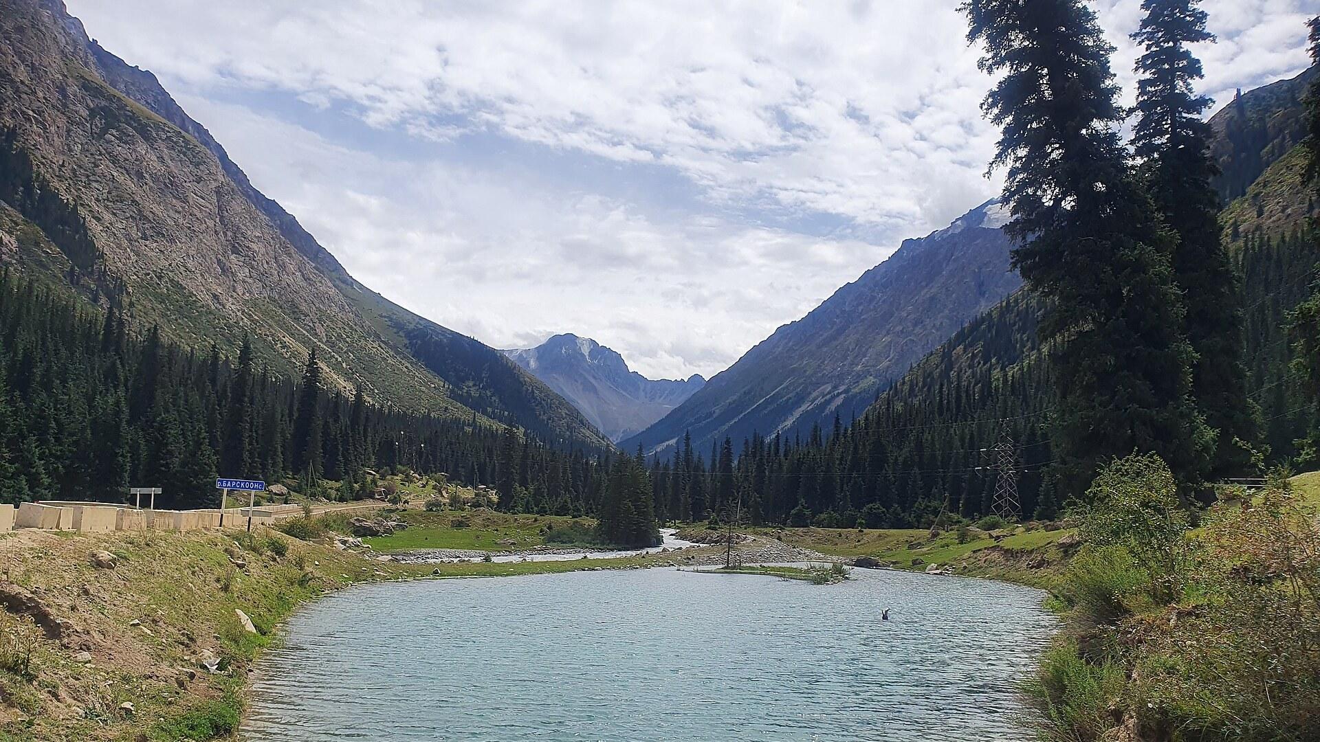
Barskoon is a village on the southern shore of Lake Issyk Kul, in the Issyk-Kul Region of Kyrgyzstan. The A363 highway runs through it, with Bökönbaev to the west and Kyzyl-Suu to the east. The Barskoon River flows beside the village, at the mouth of the Barskoon valley.
That valley links the lake shore with the inland Ala-Bel plateau and the upper Naryn river valley. Folk etymology ties the village name to the snow leopard, called ilbirs in Kyrgyz and bars in many Turkic languages.
Trekking and horse riding are the valley's strengths, and it has an impressive waterfall. Barskoon is a popular destination, and tourism companies such as Shepherd's Way Trekking are based here. Horses can be rented at the foot of the waterfalls trail. Over in Tamga, a guesthouse owner organizes guided horse tours and keeps old horses for inexperienced riders.
Along the road at Barskoon you pass a Soviet lorry on a plinth and a bust of Yuri Gagarin. Gagarin holidayed on the south shore of Issyk Kul after his first space flight. Tamga, west of Barskoon, has the sanatorium where he prepared for it, and it lies 1 km from a beach with red sand.
Fairy Tale Canyon (Skazka) is 4 km from the village of Tosor. Its sandy red and yellow rock formations look like the Great Wall of China, snakes, dragons and castles. The canyon is an easy hike close to the lake, with a panorama of Lake Issyk-Kul and snow-capped mountains.
Southeast of Barskoon the mountains turn into syrt, an alpine cold desert at an average of around 3,600 m. The Barskoon Pass (3,756 m) is one of the passes that connect the Issyk-Kul basin, over the Terskey Alatau, with the valleys to the south. The highest and most glaciated section of that range lies east of the pass.
Lake Issyk-Kul is 182 km long and up to 60 km wide. Its salinity is about 0.6 percent, far below the 3.5 percent of seawater, and it rarely freezes in winter. Barskoon belongs to Jeti-Ögüz District, whose seat is Kyzyl-Suu, and the district also takes in Karakol, Kara-Say and Söök.
A Silk Road trading post, a Soviet road and a mine
Barskoon was an important trading post in the Middle Ages, on an ancient Silk Road route that crossed the 4,284 m Bedel Pass into China. The ruins of an ancient caravanserai are still there, from the days when caravan routes fanned out from here toward China and India. The modern town began as a Russian military post, after the Russian conquest of Central Asia. During the 1916 Urkun uprising many Kyrgyz fled through the Barskoon valley toward China. Many died at Bedel and at Seok Pass, a name that means Bone Pass. Soviet times closed the border crossing at Bedel Pass. A new road, today's A364, was then built over Barskoon and Seok Pass toward Kara-Say. The scholar Mahmud al-Kashgari, who wrote the first comparative dictionary of the Turkic languages in the 11th century, came from the Barskoon area. Abu Mansur Sabuktigin, founder of the Ghaznavid dynasty, was born in Barskoon in 942. The Barskoon waterfall and gorge area became a geological protected area in 1975. The Kumtor gold mine opened in 1997, and the road through the Barskoon valley turned into its main access road. In 1998 a lorry carrying cyanide for the mine crashed into a stream in the valley, which temporarily hurt tourism around Lake Issyk Kul. West of Barskoon, the rock Tamga-Tash in Tamga carries a Buddhist inscription from the 3rd to 8th centuries. In Karakol, the Dungan Mosque was built between 1904 and 1907 without metal nails. Karakol's Holy Trinity Church was consecrated in 1895, after an 1889 earthquake destroyed the first church.
Yurts, kymys and noodles around the Barskoon Waterfalls
At the foot of the Barskoon Waterfalls trail you find food yurts and small shops, so you can eat there or carry your own lunch up. In summer some of the yurts there take overnight guests and serve kymys, the traditional Kyrgyz drink. Kyrgyz cooking leans on hearty dishes such as beshbarmak and manti, usually with fragrant tea. In Tamga, a cafe behind the main sanatorium entrance serves lagman, manty and samse. It has a name for its pasta-style lagman. Karakol is known across Kyrgyzstan for ashlyan-fu, a Dungan dish of cold noodles in a spicy vinegar sauce. Ashlyan Fu Restaurant in Karakol serves it even though it is missing from the menu, so just ask for it.
Roads, buses and airports toward Barskoon
Barskoon lies on the A363 highway that circles Lake Issyk-Kul, and the A364 leaves the village southward up the valley. It crosses the Barskoon and Söök passes to Kara-Say in the Naryn valley, then turns east to Ak-Shyrak. Barskoon Waterfalls and Gorge are 20 km south of Tamga on the A364. There is not much traffic on that road, and a taxi may be needed. Tamga itself can be reached from Karakol by taxi, marshrutka, bus or hitchhiking. Karakol's South Bus Station serves every destination along the southern shore of Issyk Kul, including Bokonbayev, Balykchy, Kochkor and Bishkek. Buses, marshrutkas and shared taxis leave Bishkek in the morning for Karakol. You can also change in Balykchy, where routes go north or south along the lake. The railroad from Bishkek ends at Balykchy, at the western end of the lake. Tamchy Airport (Issyk Kul Airport) is 2.5 to 3 h from Karakol by road and has limited air service in the summer season from Bishkek, Almaty, Tashkent and Novosibirsk. Manas International Airport in Bishkek has many more flights, with connections from Moscow, Dubai, Delhi and Istanbul. The Kegen border crossing between Kazakhstan and the Karakol area is open in summer, from May to September or October.
Horses, marshrutkas and trails around Barskoon
At the foot of the Barskoon Waterfalls trail you can rent a horse for the climb. Further afield, local marshrutkas on defined routes connect Karakol with nearby villages. Karakol's Urban Bus Station beside the Big Bazaar serves close-by destinations such as Jeti-Ögüz village and Ak-Suu village, the starting point for Altyn Arashan. Bus 371/372 runs from Karakol to Jeti Oguz village, and from there a taxi covers the 10 km to the Seven Bulls Rocks. Jeti Ögüz is a rock formation beside an ageing sanatorium, 35 km west of Karakol. Local tour companies in Karakol rent mountain bikes, which suit the area. Yandex Maps and 2GIS work better than Google Maps in Kyrgyzstan, and OpenStreetMap with various apps helps too. Near Karakol, the Altyn Arashan hot springs can be reached on foot along the Ala-Kul trail, with hostels, yurts and food on offer. The Karakol Gorge - Ala-Kul - Altyn Arashan - Ak-Suu trail is about 50 km long, takes 2-4 days and has a high point of 3,860 m. Karakol Ski Base, about 30 min from Karakol, has several T-bars and rope lifts and rents out ski equipment.
Seasons, permits and trail basics for Barskoon
Barskoon Waterfalls run strongest in spring, when the most water flows from the mountain, so bring hiking boots and a lunch for the trail. The waterfalls can be seen on a 2-4 h return hike that climbs from 2,350 m to 3,300 m. When is the best time to go? Northern Kyrgyzstan is best from June to September, while hiking in the low mountain areas is most beautiful between April and June. From October, high mountain passes in Kyrgyzstan can be closed. Do I need a permit beyond Barskoon? A border police post stands at Kara-Say beyond Barskoon, and onward travel needs a border area permit. The through road from Ak-Shyrak to Engilchek was not passable as of 2017. Which numbers do I call in an emergency? In Kyrgyzstan, 101 is the number for fire, 102 for police and 103 for medical services. Electricity is 220 volt at 50 hertz. Will I get by in English? English is still rarely spoken in Kyrgyzstan, and Russian and Kyrgyz are both written in the Cyrillic alphabet. Learn a few basic words of Russian or Kyrgyz. Do I need a visa? Citizens of many countries enter Kyrgyzstan visa-free for 60 or 90 days. Others can apply for a 30- or 90-day eVisa online. What else can I do near Barskoon? The Tamga petroglyphs are about 20 min by horse from the village centre, and you need a guide to find them. Tamga Tash, a rock south of Tamga village, carries the inscription Om Mani Padme Hum.
FAQ
What is covered in the Barskoon guide?
Discover Barskoon on the south shore of Issyk-Kul: a waterfall hike, horse riding, caravanserai ruins and a gorge road. Plan your trip with season tips. It includes 1 recommendations across 1 gallery.
Next →How many places are in the Barskoon guide?
The Barskoon guide lists 1 places: 1 gallery.
Next →Where is Barskoon?
Barskoon is in Barskoon, Issyk-Kul, Kyrgyzstan (42.1579, 77.6044).
Next →How do you get to Barskoon?
Barskoon lies on the A363 highway that circles Lake Issyk-Kul, and the A364 leaves the village southward up the valley. It crosses the Barskoon and Söök passes to Kara-Say in the Naryn valley, then turns east to Ak-Shyrak. Barskoon Waterfalls and Gorge are 20 km south of Tamga on the A364. There is not much traffic…
Next →What should you eat in Barskoon?
At the foot of the Barskoon Waterfalls trail you find food yurts and small shops, so you can eat there or carry your own lunch up. In summer some of the yurts there take overnight guests and serve kymys, the traditional Kyrgyz drink. Kyrgyz cooking leans on hearty dishes such as beshbarmak and manti, usually with f…
Next →Is there camping in Barskoon?
No camping listings in this pack yet — we do not invent venues. Entries will appear once verified.
Next →Can you rent a bike in Barskoon?
No bike rental listings in this pack yet. Verified shops will be added when available.
Next →What are recommended gallery in Barskoon?
Highlighted gallery in the Barskoon guide: Barskoon Gorge.
Next →Highlighted places
- Barskoon Gorge — The Barskoon river in its forested gorge, with the mountains of the Terskey Alatau rising behind.
Explore on the map
Tap a pin to highlight its place card
All
1 spots
Recommended places
Gallery
1 · 1 selected
Barskoon Gorge
gallery
Related guides
Browse nearby destinations
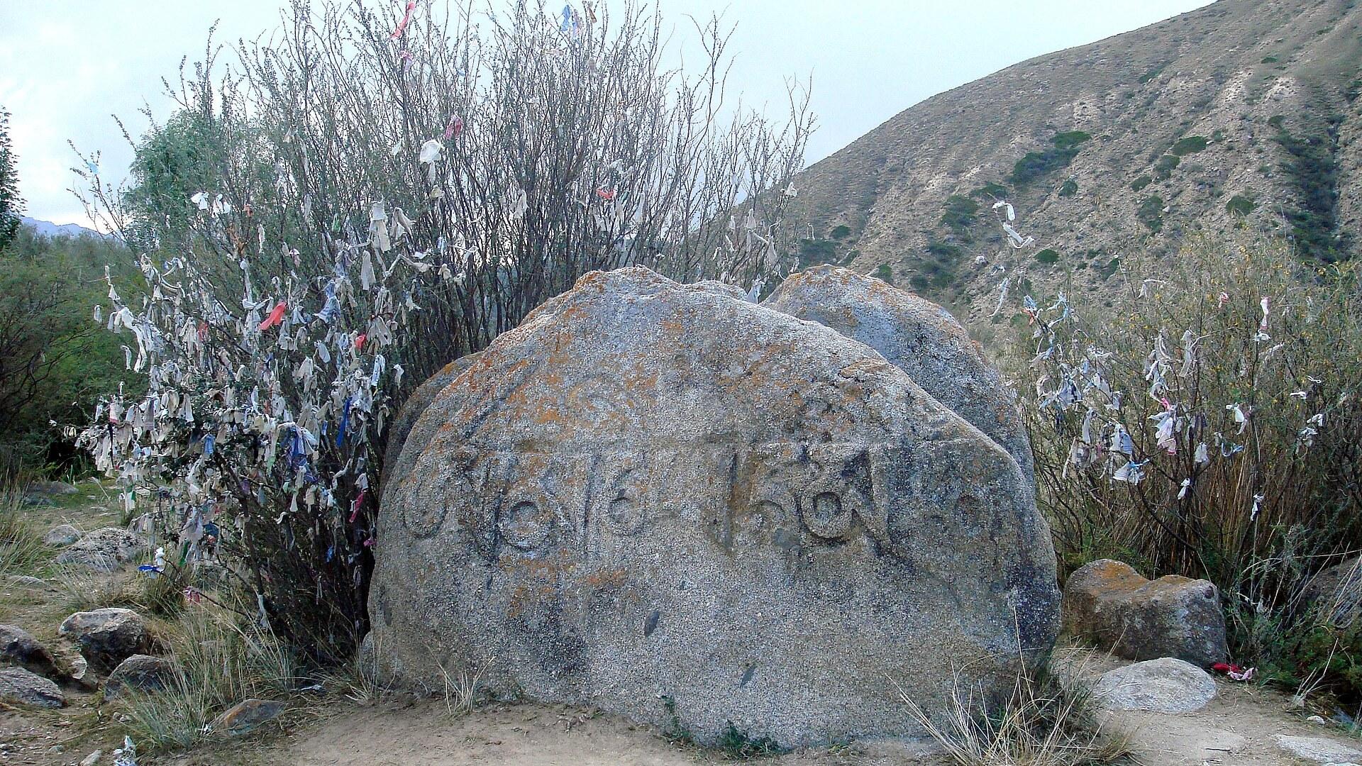
Tamga Guide
Issyk-Kul, Kyrgyzstan
Red sand, petroglyphs and gorge hikes on Issyk-Kul's south shore

Uzgen Guide
Osh Region, Kyrgyzstan
A 2,000-year-old river town guarding an 11th-century minaret
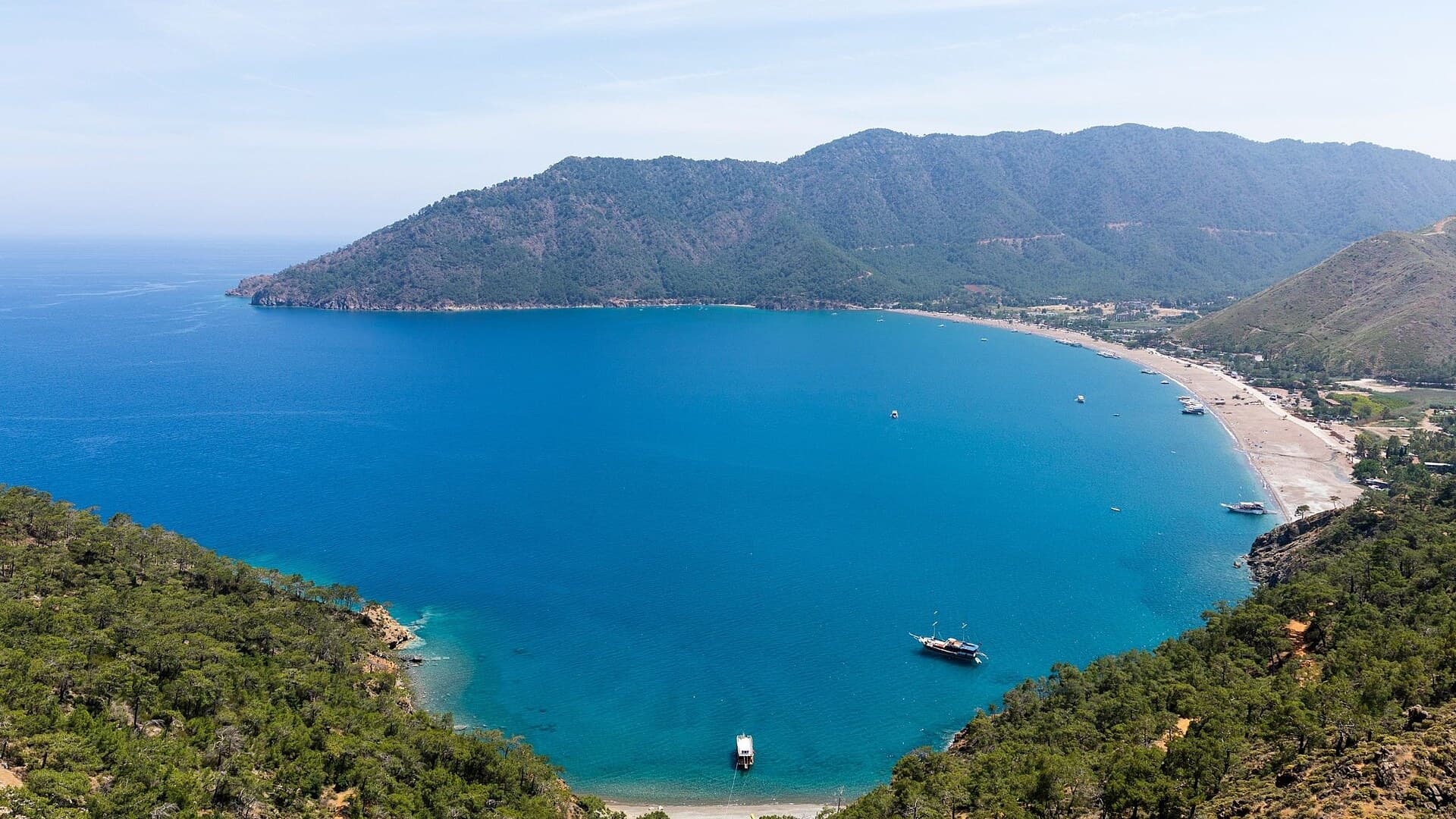
Adrasan
Antalya, TR
A pine-backed bay where the days move slowly
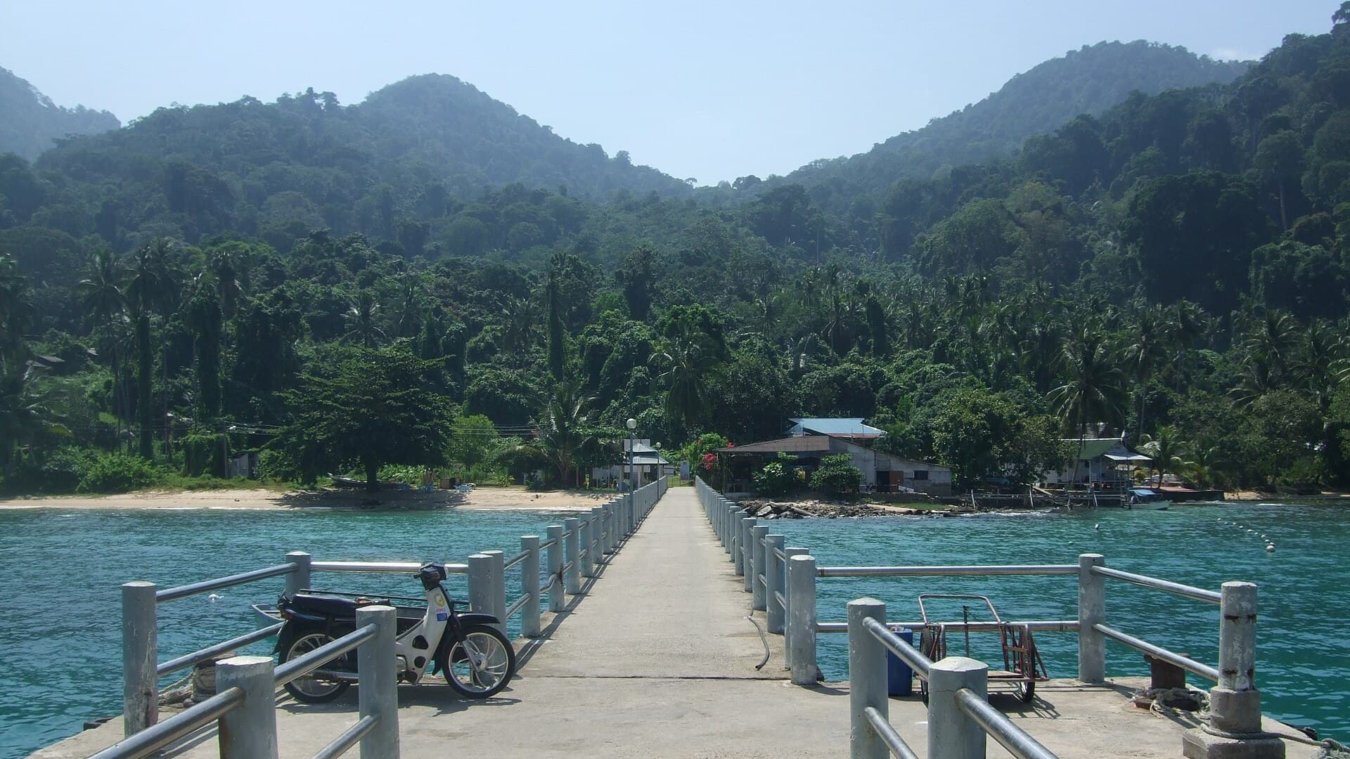
Air Batang
Pahang, Malaysia
A car-free Tioman village for divers and walkers
Akyaka
Muğla, Türkiye
Azmak boats, kitesurf wind and wooden balconies
Aneityum Guide
Tafea, Vanuatu
Beaches, reef and quiet in Vanuatu's far south

Save these places to your list
Copy the spots you picked into your list — maps and notes included.