
Seclantás Guide
Looms, adobe lanes and valley views in Salta
1 selected
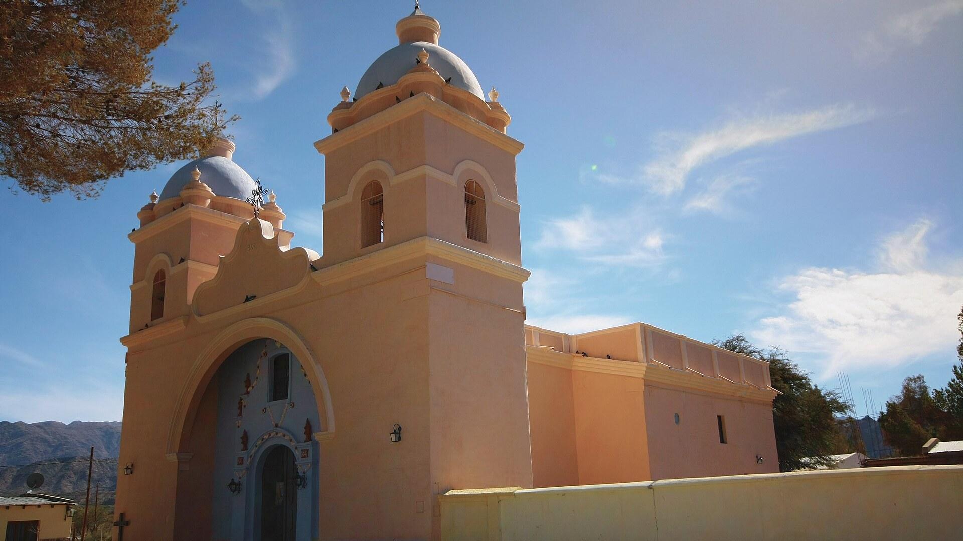
Seclantás sits in the Calchaquí Valleys of Salta province, in northwest Argentina, and everything in it seems to move at the pace of a loom. Cobblestoned streets run between age-old adobe houses, many of them with courtyards and terraces. Nothing about the place pushes you to hurry.
The setting does the rest. The Calchaquí Valleys connect visitors to pre-Incan and colonial history, with ravines, coloured mountains and villages, and Seclantás is one of those villages, its adobe houses leaning on that long past. Come with time to look rather than a list to tick off.
The main square has striking palm trees, and local artisans offer classic loom-woven ponchos. A poncho is the obvious thing to take home from Seclantás, and even if you buy nothing, the weaving is the quickest way to understand what the village is about.
For the big picture, climb to the highest part of the village. From up there you get panoramic views of the Valles Calchaquíes, and the valley you will drive through later suddenly makes sense as one landscape.
Two natural sights lie around Seclantás: the Brealito lagoon and the Acsibi caves. Both are worth exploring once you have had enough of the streets, and both make a good reason to leave the square behind.
Further out, the Calchaquí landscape turns dramatic. Quebrada de las Flechas has formations pointing to the sky whose colours change with the light, and Cuesta del Obispo meanders between the hills from the arid Valley of Lerma up to the Calchaquí Valleys. Cachi, close by, is known for giant cactuses, peaks and archaeological treasures, while Los Cardones National Park protects the region's giant cactus species.
A stay in Seclantás falls into a natural order. Begin in the streets and on the main square, climb for the view, then give the remaining time to the lagoon and the caves; Cachi and its cactuses are close enough to add on if you have a car.
If you like to move, there is plenty to do on foot or on two wheels. You can walk the Artisans' Path (Camino de los Artesanos) and follow the World's Highest Wine Route around the village. Ranches on the outskirts offer rural tourism experiences, and adventure lovers are told that going down Cuesta del Obispo by bike is the way to do it.
Seclanta, the Calchaquí chief behind the village name
Seclantás takes its name, according to legend, from Seclanta, the Calchaquí cacique who lived in these valleys. The story is more than a village tale: the Calchaquí Valley was once occupied by several tribes, each with its own chief, and the tribe around present-day Seclantás was led by a chief called Seclanta. That older layer sits underneath everything else you see. The wider valleys connect visitors to pre-Incan and colonial history, with ravines, coloured mountains and villages, and Seclantás is one of the villages where the past still stands in adobe. The houses with their courtyards and terraces line the cobblestoned streets, and they are worth a slow walk rather than a quick photo. The colonial chapter has a date. The Iglesia del Carmen was built in 1835 and shows Cusco-style architecture, which makes it the one building to look at if you want to read the story of the village in a single structure. Start with the church, then walk the nearby streets and compare its architecture with the adobe houses around it. When you meet the artisans selling ponchos on the main square, the name Seclanta is a natural way to start a conversation about where the village comes from.
Where to eat around Seclantás and Cachi
Seclantás is a small village, and the one food address worth naming in this part of the valleys is a little further along the road in Cachi. There, a food stand on the southeastern corner of Plaza 9 de Julio sells empanadas, a straightforward stop between sights. Plan your meals around your route rather than around a list of restaurants. If you drive between Seclantás and Cachi, eat when you reach Cachi's main square. If you stay at one of the ranches on the outskirts of Seclantás that offer rural tourism, ask there about meals before the day begins.
Reaching Seclantás from Salta by Provincial Route 33
Seclantás lies about 165 km south west of the city of Salta, the provincial capital, and you reach it from there by Provincial Route 33. Everything about the journey is decided by that one road. Martín Miguel de Güemes International Airport lies 9 km from the centre of Salta and is the usual gateway to the Calchaquí Valleys. The easiest road to Cachi starts in Salta: it is bitumen, but it can still be closed by floods or rockfall after rain, and the trip takes about 4 h. Start early and leave room in your day. Without a car, buses to Cachi leave Salta a couple of times a day. Several companies in Salta also offer day tours to Cachi, though these are little more than touch-and-go visits, far too hurried for a place that suits a stay of a night or two. From the south, the road from Cafayate to Cachi is dirt, usually passable by 2WD, and takes about 4 h; there are some local buses but no through buses. The road to Cachi from San Antonio crosses isolated country and is only accessible by 2WD in some months of the year, so ask about its state before you commit to it.
Moving around Seclantás on foot, by bike and by car
Getting around Seclantás itself means walking, while every trip beyond the village in the Calchaquí Valleys needs a vehicle that suits the road. The cobblestoned streets, the main square and the Iglesia del Carmen are all part of the same small village, and the Artisans' Path (Camino de los Artesanos) is another route to follow on foot. Beyond the village you need wheels. The Calchaquí region should be toured in vehicles adapted to its roads and landscapes, so choose a car that copes with bitumen and dirt alike. Fill the tank in Cachi, which has a YPF petrol station near Ruta Nacional 40, before you head on towards Seclantás. For cyclists, Cuesta del Obispo is the route: it meanders between the hills from the arid Valley of Lerma up to the Calchaquí Valleys, and going down it by bike is advisable. Because floods or rockfall can close roads after rain, ask about conditions before you set out.
Sorting money and signal before the Calchaquí road
Seclantás is a village rather than a service town, so it makes sense to handle money and mobile data in the city of Salta before the 165 km drive. Cachi, the larger neighbour on the valley road, has a tourist information office on its main square, Plaza 9 de Julio. It is a sensible place to ask what is available locally before you continue.
Practical answers for a stay of one or two days
Seclantás rewards a short, unhurried stay, and a few practical details make the trip smoother. How long should I stay? The recommended length of stay is 1 to 2 days, enough for the main square, the church, the highest viewpoint and one of the nearby natural sights such as the Brealito lagoon or the Acsibi caves. What should I pack? Bring warm clothes for possible weather changes, and sunscreen lotion. The Calchaquí Valleys have a dry climate with a wide temperature range, so layers make sense. Can the road to the valleys be closed? Yes. The bitumen road from Salta to Cachi, a trip of about 4 h, can be closed by floods or rockfall after rain. Ask in Salta about conditions before you leave and keep your schedule flexible. Where do I find information and fuel? Cachi has a tourist information office in the main square, Plaza 9 de Julio, and a YPF petrol station near Ruta Nacional 40. Both are worth a stop on your way.
FAQ
What is covered in the Seclantás guide?
Explore Seclantás, a Calchaquí Valleys village in Salta with adobe houses, loom-woven ponchos and a 1835 church. Plan the 165 km drive from Salta city. It includes 1 recommendations across 1 gallery.
Next →How many places are in the Seclantás guide?
The Seclantás guide lists 1 places: 1 gallery.
Next →Where is Seclantás?
Seclantás is in Seclantás, Salta, Argentina (-25.2961, -66.2392).
Next →How do you get to Seclantás?
Seclantás lies about 165 km south west of the city of Salta, the provincial capital, and you reach it from there by Provincial Route 33. Everything about the journey is decided by that one road. Martín Miguel de Güemes International Airport lies 9 km from the centre of Salta and is the usual gateway to the Calchaqu…
Next →What should you eat in Seclantás?
Seclantás is a small village, and the one food address worth naming in this part of the valleys is a little further along the road in Cachi. There, a food stand on the southeastern corner of Plaza 9 de Julio sells empanadas, a straightforward stop between sights. Plan your meals around your route rather than around…
Next →Is there camping in Seclantás?
No camping listings in this pack yet — we do not invent venues. Entries will appear once verified.
Next →Can you rent a bike in Seclantás?
No bike rental listings in this pack yet. Verified shops will be added when available.
Next →What are recommended gallery in Seclantás?
Highlighted gallery in the Seclantás guide: Church of Seclantás.
Next →Highlighted places
- Church of Seclantás — The church of Seclantás in the Calchaquí Valleys of Salta province, Argentina.
Explore on the map
Tap a pin to highlight its place card
All
1 spots
Recommended places
Gallery
1 · 1 selected
Church of Seclantás
gallery
Related guides
Browse nearby destinations
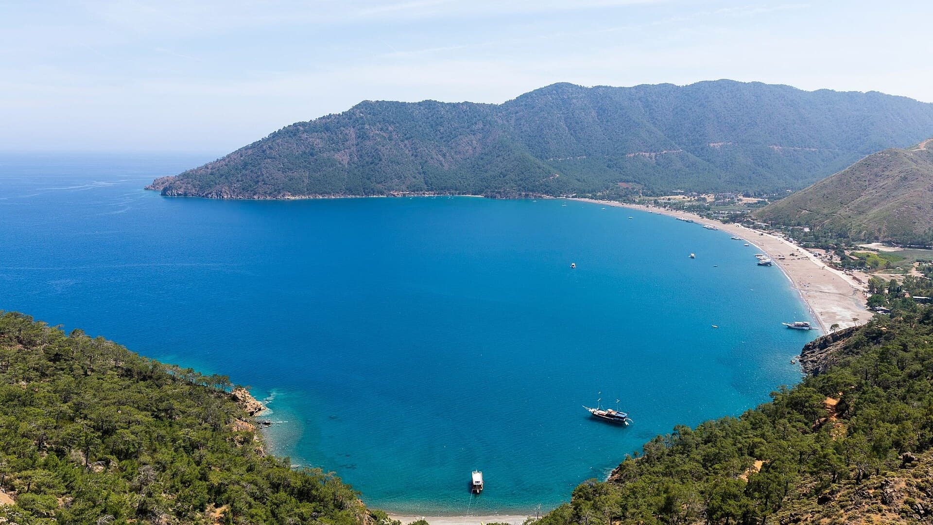
Adrasan
Antalya, TR
A pine-backed bay where the days move slowly
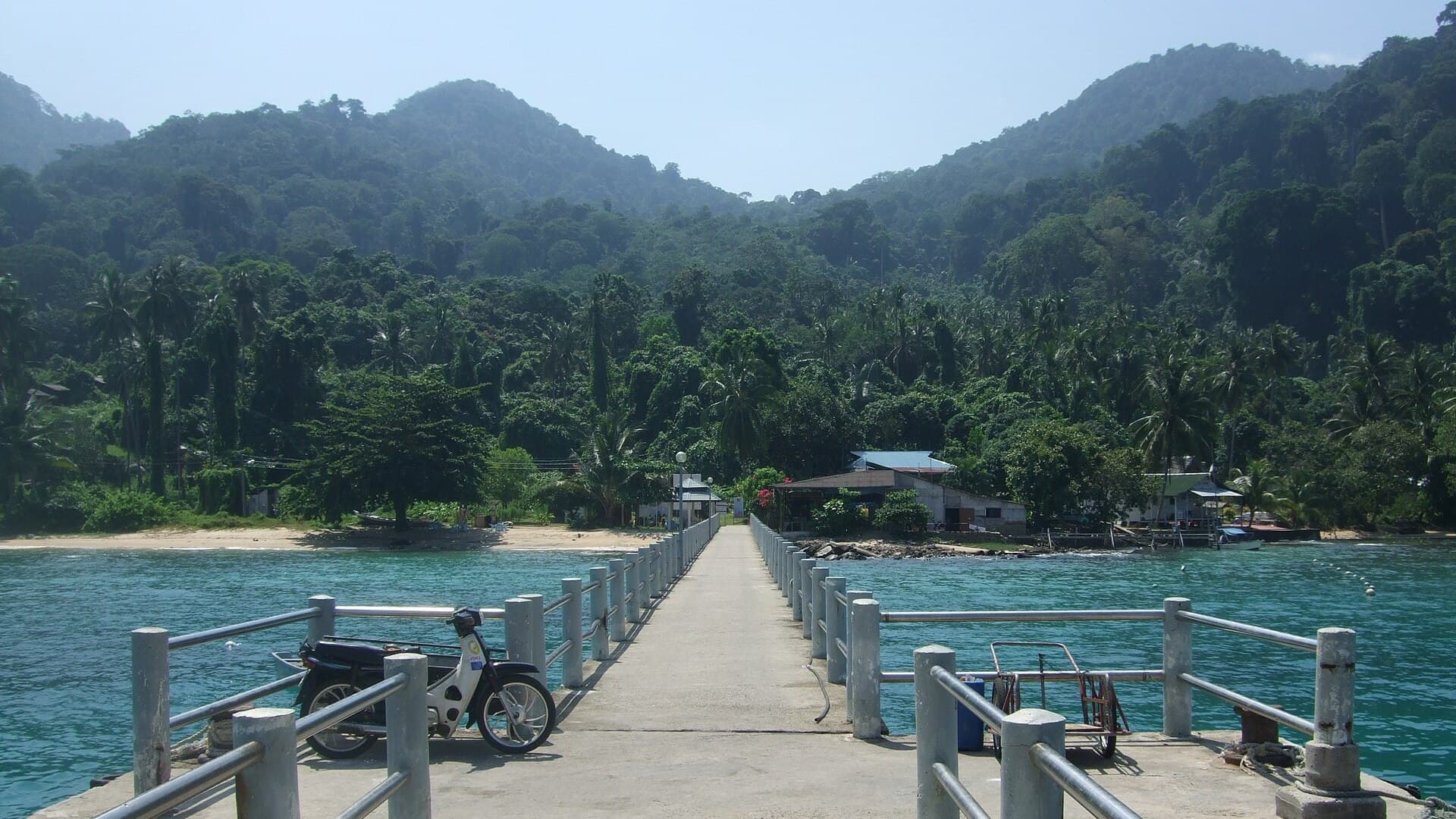
Air Batang
Pahang, Malaysia
A car-free Tioman village for divers and walkers
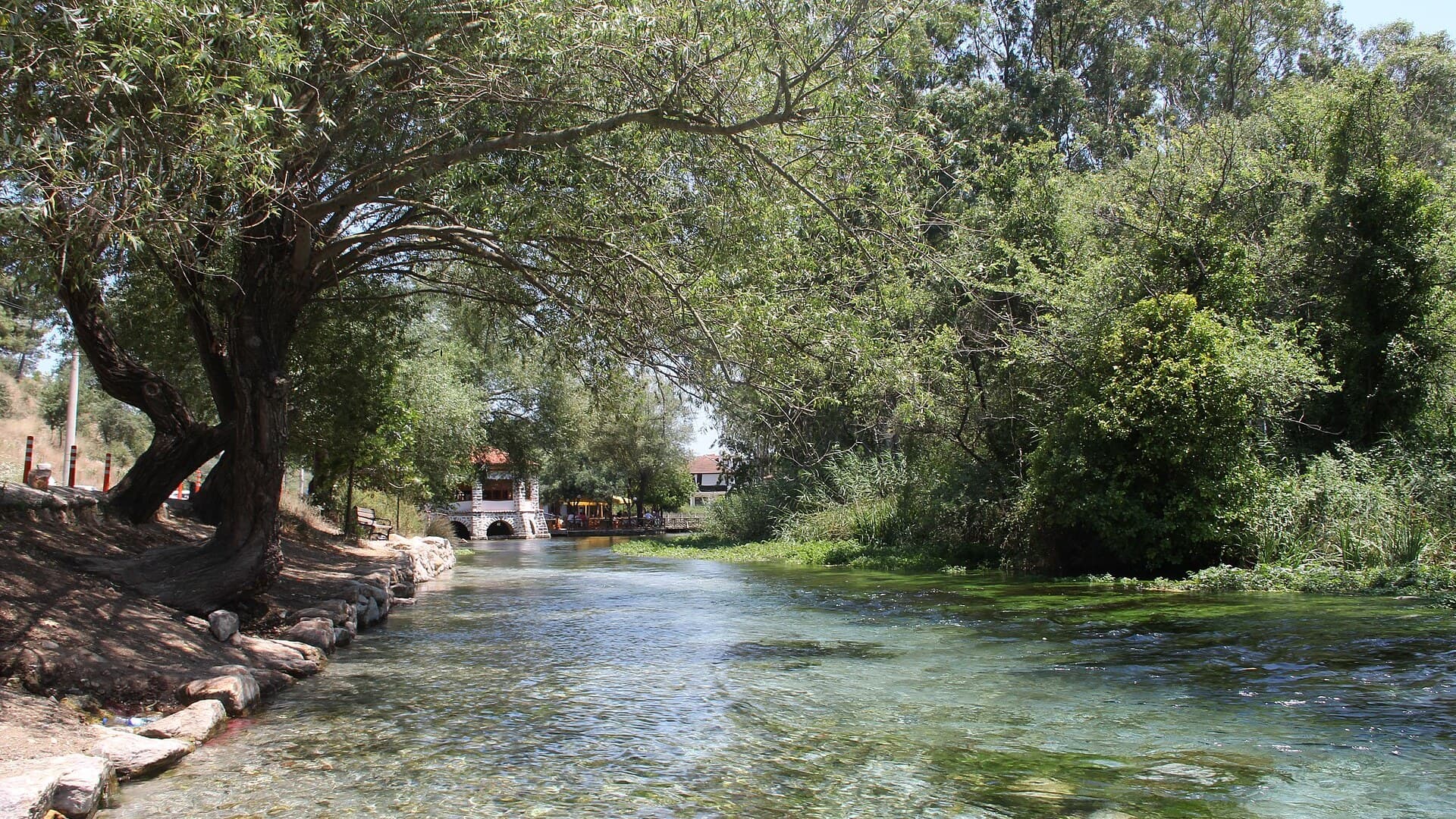
Akyaka
Muğla, Türkiye
Azmak boats, kitesurf wind and wooden balconies
Aralsk Guide
Kyzylorda, Kazakhstan
The sea left, the ships stayed
Atouguia da Baleia
Leiria, Portugal
A village named for whales, minutes from the Atlantic
Auray Guide
Brittany, France
Two towns on one river, joined by a stone bridge

Save these places to your list
Copy the spots you picked into your list — maps and notes included.