
Mošćenice Guide
Stone lanes above the Kvarner Gulf
1 selected
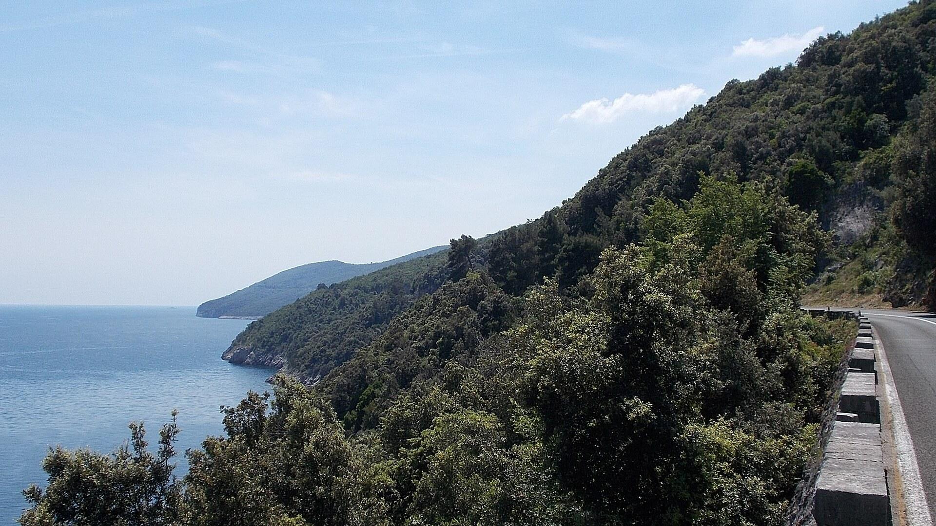
Mošćenice is a stone village in Primorje-Gorski Kotar County, Croatia, built on a hilltop above the Kvarner coast. It belongs to the municipality of Mošćenička Draga and lies close to Opatija, with Mt. Učka rising behind it. The houses stand shoulder to shoulder along narrow streets, and the outer ring of them turns its blank walls to the outside like a fortress wall.
Walk in and the layout is the first thing you notice. The settlement is concentric, and some houses are joined by covered passages, so a street can suddenly turn into a short tunnel. Mošćenice is not big. The pleasure lies in following those lanes without a plan until one of them opens onto the edge of the hill.
From that edge the view runs across the Kvarner Gulf to Rijeka and the islands of Krk and Cres. The village stands 173 m above Mošćenička Draga, which is why the sea feels so close below you. Bring a camera, but also sit still for a few minutes and let the islands sort themselves out, one after the other, as the light changes.
Inside the village, three stops repay your time: the old St. Andrew church, the local ethnographic museum and an old olive extraction mill. None of them needs more than a short visit, and together they show how people here lived from land and sea.
Down at the water, Mošćenička Draga is a former fishing village that now works as a small resort, with two beaches, a small marina and walking paths. The whole coast north and south of Opatija is rocky, so expect a stony shore rather than a sandy one. The two places are tied together by a road and by 750 steps that climb from Sv. Ivan beach to the village centre.
When you want more room, look up toward Učka. Mount Učka rises 1496 m right behind Opatija, and the Učka Nature Park covers most of it, with hiking, mountain biking and mountain running. A car can drive to the Vojak peak, where the view takes in Istria, the Kvarner islands, Rijeka, the highlands and even the Alps in the distance.
From Liburnian rowers to a hilltop town with its own statute
Mošćenice has been settled since prehistory, when the Liburnians, cattle breeders and seamen known for their fast rowing boats, lived in the area. Croats arrived at the end of the 6th century and built their first permanent settlement in Liburnia around the year 620. The village enters the written record in 1374, as an independent community with its own statute, in the testament of Count Ugona of Duina, written in German. In 1637 it received a City Statute and passed to the Jesuits of Rijeka, who held it until 1773. From 1801 to 1813 it belonged to the Napoleonic Illyrian Provinces, then to the Austrian Empire until the end of the First World War, and in 1896 it became an independent municipality. Hilltop towns like Mošćenice and Brseč arose in the 12th and 13th centuries. Together with Veprinac and Kastav they formed a chain of fortresses along the Istrian east coast and served as a refuge for people from the shore. Mošćenička Draga, the fishing port below, was first mentioned in 1436, and much of the medieval structure above it is still visible today. The best place to read the layers is St. Andrew's church. A small church stood here already in the 8th century, and of the one built between 1200 and 1300 only the Romanesque-Longobardic tower and the wall under the choir with four columns remain. The central nave was heightened in 1640, and two lower aisles were added between 1785 and 1795. Look for the five marble statues of the central altar by the Paduan artist Jacopo Contieri and the organ from 1847. The frescoes above the choir date from 1942 and were painted by the Italian soldier Carmine Visintini. The parish was founded at the beginning of the 14th century, and its ritual books were written in Glagolitic until the second half of the 19th century. Walk the lanes first, then step into the church.
Olives, fish and where to sit down around Mošćenice
Eating around Mošćenice follows the two halves of the place: the stone village on the hill, tied to its olive mill, and the old fishing port of Mošćenička Draga below. Fishing has been the main trade of the municipality since the 19th century, so the sea is the obvious starting point for a meal at the bottom of the hill. Up in the village, begin with the old olive extraction mill. It is one of the places of interest next to the ethnographic museum, and seeing where the olives were pressed tells you more about the local table than a menu does. Visit both in the morning, then walk down and let lunch come to you. The harbour area has the marina, two beaches and the walking paths, and it is where you will find most of the places to eat and drink. For a wider choice, Opatija is the nearest town. Local bus 32 runs there from Rijeka in around 20 min and carries on along the riviera to Lovran. Season shapes the plan. July is the driest month with 24.5 mm of rain and a mean daily maximum of 29.8 °C, which suits a long meal outside by the water. November averages 289.2 mm and 19.9 rainy days, so in autumn and winter think of indoor tables and keep the sea for a short walk.
Reaching Mošćenice from Rijeka, Opatija and the Učka foothills
Mošćenice sits southwest of Opatija, under Mt. Učka, so you approach it along the Opatija riviera and then climb from the coast. The village is above Mošćenička Draga, and that is the place you reach first, before the road turns uphill. Without a car, the simplest chain starts in Rijeka. Local bus 32 runs from Rijeka to Opatija in around 20 min, then continues to Lovran and sometimes to Mošćenička Draga. The word sometimes matters: do not plan around a bus to the very door, and treat Opatija or Lovran as the safe fallback. From Mošćenička Draga a road leads up to the village, and 750 steps climb from Sv. Ivan beach to the centre for those who prefer to arrive on foot. The village stands 173 m above the sea, so allow yourself some time and breath for the last stretch. By car you stay on the same coastal side, with Opatija close to the north. Another drive starts behind the coast: a car can reach the Vojak peak on Mt. Učka, 1496 m high, for views over the Istria peninsula, the Kvarner islands, Rijeka and the Alps in the distance. Combine the two in one day if you arrive by car, and leave the walking for Mošćenice itself. Rijeka lies across the gulf you see from the village edge, which gives the whole journey a pleasant logic: you look at your starting point once you have arrived.
Steps, a hill road and bus 32 around Mošćenice
Getting around Mošćenice is mostly a matter of walking, because the old centre is a knot of narrow streets and covered passages that no vehicle would enjoy. The only real question is how you connect the village with the sea, and the answer depends on how much climbing you want. There are two ways. A road links Mošćenice to Mošćenička Draga, and 750 steps lead from Sv. Ivan beach up to the village centre. The village lies 173 m above the water, so going down is easy and coming back is the effort. Many people take the steps in the morning, before the heat, and ride or drive for the return. Down at the coast everything is close. Mošćenička Draga has two beaches, a small marina and walking paths, so you can move between them without a vehicle. For longer hops, local bus 32 covers the whole Opatija riviera, though it only sometimes continues to Mošćenička Draga itself. For the mountain, you have two options. Mount Učka rises 1496 m behind Opatija and is a challenging hike from the coast. A car, on the other hand, can be driven to the Vojak peak. Choose the hike if you have a full day and sturdy shoes, and the drive if you want the Alps in the distance without the climb. The same views take in Istria, the Kvarner islands and Rijeka, so you do not lose much by driving.
Paying, booking and planning around Mošćenice
Money in Mošćenice is simple in scope, because the village is small and most of the spending happens in the resort of Mošćenička Draga below it. Croatia uses the euro (€), so you pay in the same currency here as in neighbouring Opatija. The municipality offers around 2500 tourist beds, about 1100 in hotels and the campsite and about 1400 in private accommodation. That split tells you something useful. Private rooms and apartments are the larger share, so you often deal with a host directly, and it is worth asking in advance how they prefer to be paid. Inside the village, the main stops are the old St. Andrew church, the ethnographic museum and the olive extraction mill, all within the same narrow lanes. Carry some cash and a card for these small places, since they are not the sort of venues where you can count on a terminal. Connectivity is a planning question more than a technical one. The bus connection along the Opatija riviera is 20 min from Rijeka to Opatija and only sometimes reaches Mošćenička Draga, so check times before you climb the 750 steps and plan how you will come back down. Decide the day's route before you set off for Mt. Učka, 1496 m high, since the mountain is a long outing and the nearest resort is far below it.
Season, steps and weather: questions about Mošćenice
Mošćenice is easiest in summer, but each season has a different face, and the weather changes what you can do in the village and on the slopes of Mt. Učka above it. When is the best time to go? July and August are the sunniest and warmest months in Mošćenička Draga, with mean daily maxima of 29.8 °C in July and 30.5 °C in August. July alone has 327.2 sunshine hours, and the year has about 2,068.9. Which months should I avoid? Autumn and winter are the wettest, with November averaging 289.2 mm and 19.9 rainy days. July is the driest month with 24.5 mm. How hard is the walk up from the beach? The village lies 173 m above Mošćenička Draga, and 750 steps climb from Sv. Ivan beach to the centre. Go up in the morning if you can, and take the road down if your knees complain. What should I pack? Sturdy shoes for stone streets and steps, and sun protection for the long summer days. Opatija reaches highs of 32 °C in summer and 10 °C in winter, so bring a warm layer for cooler months. Is the shore good for swimming? The coast north and south of Opatija is rocky, and Mošćenička Draga has two beaches. Expect rocks rather than sand, and shoes with grip help when you enter the water. What if it rains? Spend the day at St. Andrew's church, the ethnographic museum and the olive mill, which are all indoors or under cover. The covered passages between the houses also help.
FAQ
What is covered in the Mošćenice guide?
Explore Mošćenice, a stone hilltop village above Mošćenička Draga, with views to Krk and Cres, a 750-step path to the beach and hikes up Mt. Učka. It includes 1 recommendations across 1 gallery.
Next →How many places are in the Mošćenice guide?
The Mošćenice guide lists 1 places: 1 gallery.
Next →Where is Mošćenice?
Mošćenice is in Mošćenice, Primorje-Gorski Kotar County, Croatia (45.2658, 14.2425).
Next →How do you get to Mošćenice?
Mošćenice sits southwest of Opatija, under Mt. Učka, so you approach it along the Opatija riviera and then climb from the coast. The village is above Mošćenička Draga, and that is the place you reach first, before the road turns uphill. Without a car, the simplest chain starts in Rijeka. Local bus 32 runs from Rije…
Next →What should you eat in Mošćenice?
Eating around Mošćenice follows the two halves of the place: the stone village on the hill, tied to its olive mill, and the old fishing port of Mošćenička Draga below. Fishing has been the main trade of the municipality since the 19th century, so the sea is the obvious starting point for a meal at the bottom of the…
Next →Is there camping in Mošćenice?
No camping listings in this pack yet — we do not invent venues. Entries will appear once verified.
Next →Can you rent a bike in Mošćenice?
No bike rental listings in this pack yet. Verified shops will be added when available.
Next →What are recommended gallery in Mošćenice?
Highlighted gallery in the Mošćenice guide: The Učka coast near Mošćenička Draga.
Next →Highlighted places
- The Učka coast near Mošćenička Draga — The wooded slopes of Mt. Učka meeting the Kvarner Gulf near Mošćenička Draga, below Mošćenice.
Explore on the map
Tap a pin to highlight its place card
All
1 spots
Recommended places
Gallery
1 · 1 selected
The Učka coast near Mošćenička Draga
gallery
Related guides
Browse nearby destinations
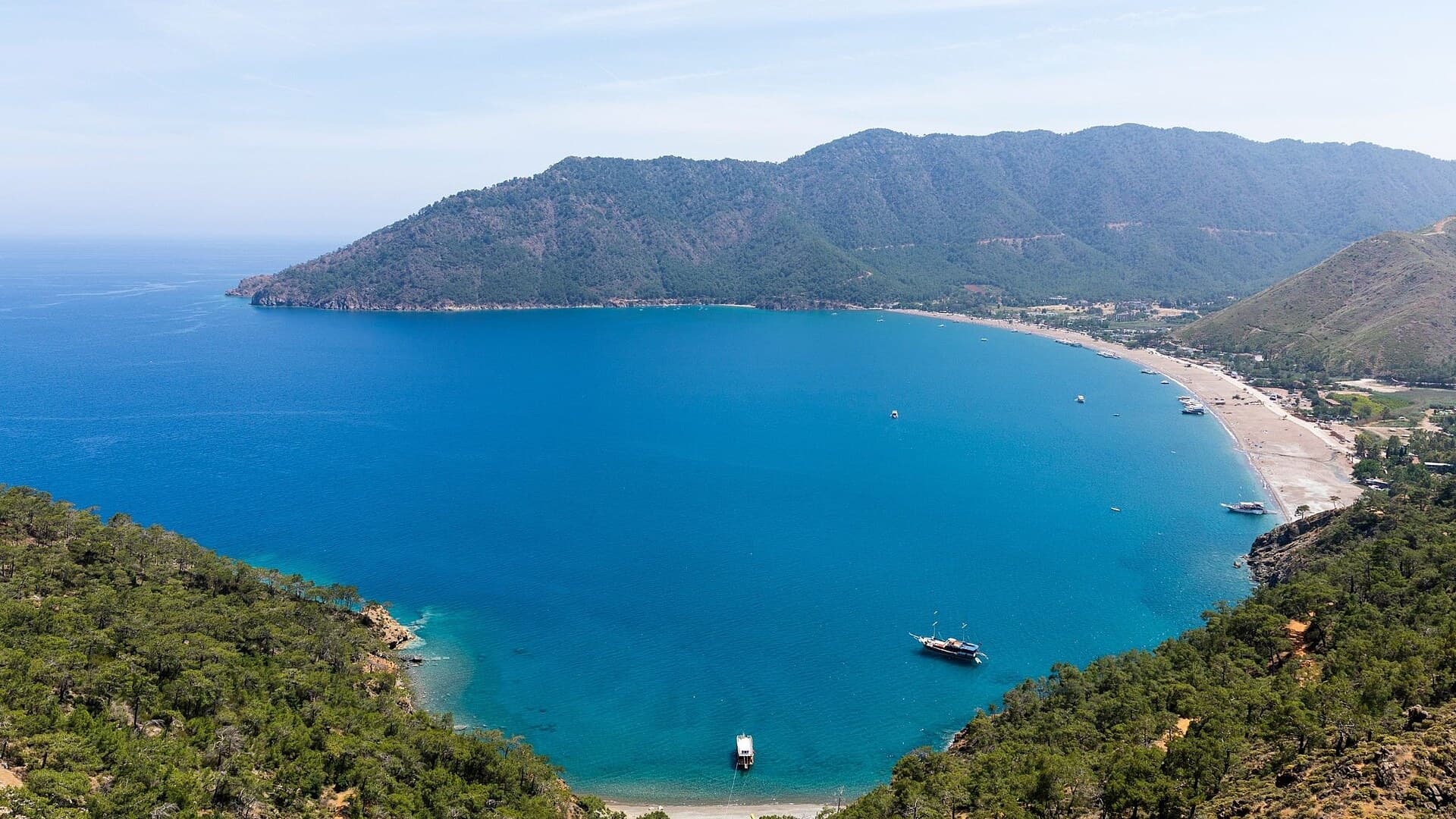
Adrasan
Antalya, TR
A pine-backed bay where the days move slowly
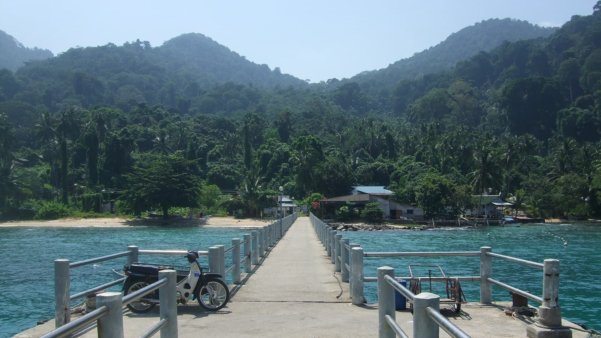
Air Batang
Pahang, Malaysia
A car-free Tioman village for divers and walkers
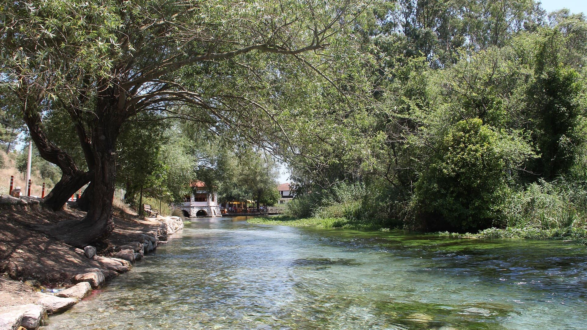
Akyaka
Muğla, Türkiye
Azmak boats, kitesurf wind and wooden balconies
Aralsk Guide
Kyzylorda, Kazakhstan
The sea left, the ships stayed
Atouguia da Baleia
Leiria, Portugal
A village named for whales, minutes from the Atlantic
Auray Guide
Brittany, France
Two towns on one river, joined by a stone bridge

Save these places to your list
Copy the spots you picked into your list — maps and notes included.