
Pronojiwo Guide
Semeru slope base for Tumpak Sewu, not Bromo
1 selected
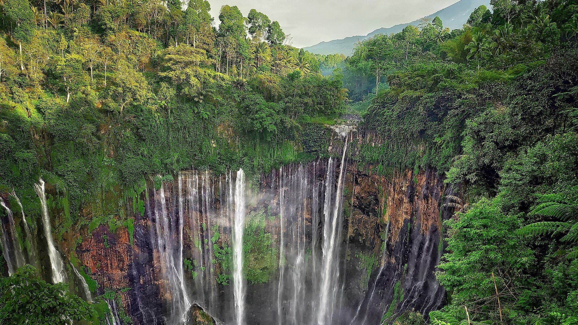
Pronojiwo is a village and the seat of Pronojiwo District, Lumajang Regency, East Java. The village sits near 8.21 south, 112.94 east at about 1,121 metres on the south slope of Mount Semeru, Java's highest volcano at 3,676 metres. National Route 3 between Malang and Lumajang runs through it. The district centre lies lower, around 866 metres. Postcode 67374.
This is Semeru country, not the Bromo caldera. Bromo and the Tengger massif sit north in Probolinggo Regency, hours away by road. Pronojiwo belongs to the Lumajang side of the Malang corridor, the wet south slope where Semeru sends lahars and pyroclastic flows. Do not plan a Bromo sunrise from this bed unless you accept a long predawn drive.
Travel writing here is really about Tumpak Sewu, also called Coban Sewu, a tiered fall on the Glidik river that drains Semeru. The fall sits on the district border with Ampelgading in Malang Regency, in the hamlets of Sidomulyo and Sidorenggo. Pronojiwo is the Lumajang-side base on the national road, not the spray itself.
People who actually use the village sleep near that road and walk the fall themselves, rather than take a packaged day from Malang or Surabaya. New stairs and viewing platforms have made the canyon easier to enter, but the trip in or out remains physically demanding and may take about an hour. Local operators run access, guides, and support. You can walk it without a tour bus. You cannot wish away the stairs.
One night covers arrival, an early descent, and a climb out. Two nights fit if Semeru weather or a second fall on the district list, Kabut Pelangi, Kapas Biru, or Coban Sriti, holds you. A week in the village is too much village. Jeep tours to pine forest and old lahar beds exist as a district offering. They are not the reason to sleep here.
The village is small enough to walk and steep enough that the walk is work. There is no metro, no tram, no useful passenger airport. The national road is how you arrive. Malang and Lumajang are the last real towns. Indonesian is the language that opens a fare. English is thinner than the waterfall photographs.
Families who want a flat path and shade should not come. Mud, steps, and an active volcano upslope are the practical problems. Solo travel works if you can read an Indonesian sign and carry water. Couples who want a canyon evening find a road village and early nights. Do not use Pronojiwo as a place to work.
The independent walk to Tumpak Sewu, a night off the national road: yes. A beach week, a café laptop month, a guaranteed clear view of Semeru, a Bromo caldera sunrise on foot: no. You do not need a car inside the village. You do need a plan for the Malang or Lumajang bus, cash rupiah, and a check of the volcano alert.
Do not confuse the village with the district, or the district with the fall. Pronojiwo village is the seat on Route 3. Tumpak Sewu is the border canyon. Semeru has been in near-constant eruption since 1967 and erupted again in 2021, 2022, and November 2025. Postcode 67374.
How a road village became a waterfall base
No one publishes a founding year for Pronojiwo. What matters is position. The village is the district seat on National Route 3, the Malang to Lumajang corridor, on Semeru's south slope below the active cone. Seven hamlets sit inside the village boundary: Darungan, Kalibening, Mulyoharjo, Pronojiwo, Ranu, Rowobaung, Supit. Tumpak Sewu means stacked thousand in Javanese. The name describes many falls in one amphitheatre, not a headcount. The amphitheatre is volcanic: lava and pyroclastic beds from Semeru bent into the cliff. The waterfall became an East Java draw in the 2010s. The village was already on the national road when Instagram found the canyon.
Eating in Pronojiwo
Warungs and lodgings line the district road, not a dining map. What opens follows East Java road food: rice, fried things, grilled meat, sweet tea, fruit. Local salak, snake fruit, is the crop people point to on the hillsides. That is a hillside note, not a tasting menu. Arrive hungry late on a quiet evening and you may find little open on the road. If you walk the canyon, take food and sealed water. There is no picnic culture at the canyon floor, and little shade you can count on at the bottom.
How to get to Pronojiwo
The door is Malang or Lumajang. National Route 3 is the spine. Pronojiwo is Lumajang's western entry from Malang. Malang is the usual overnight before Semeru country. Treat a blog timetable as a rumour. Check the Lumajang or Malang terminal the week you travel. The nearest airports with scheduled flights sit in the wider East Java net, Surabaya and Malang, not in the village. Do not plan an arrival around a jungle airstrip. A hired car from Malang is how many independent walkers close the last gap. The fall itself is a further hop from the village, on the Sidomulyo and Sidorenggo border, not a walk from the district office door.
Moving around Pronojiwo
The village is small enough to walk. You do not need a bus to cross Pronojiwo. You do need a ride, or a longer walk, to the Tumpak Sewu access, and your own legs for the hour in the canyon. Ojek motorcycles are the ordinary East Java short hop. There is no city taxi rank. If steps, mud, or a wet rope are a problem, the fall is already the wrong day. The descent is physically demanding. The road village is the flat-enough ground. The rest is slope and canyon.
Money and staying connected
Indonesia pays in rupiah (IDR), written Rp. Bring cash from Malang or Lumajang. A road warung is a poor place to discover that the only machine is empty. The cheaper shape is a hired car shared with other walkers. The dearer shape is a late jeep after you miss the last angkot. Emergency number 112. Plugs follow the Indonesian Type C and Type F pattern at about 220 V. Café Wi-Fi is not an office. Download an offline map before the last city. Signal on the south slope of an active volcano is a guess, not a plan.
Weather, manners, and what goes wrong
East Java's south slope is wet and green. Semeru makes its own weather. The 2021 eruption killed dozens and displaced thousands. The 19 November 2025 eruption sent a pyroclastic flow down the southern slope. Check PVMBG before you go. A closed trail is the visit. People live on this road. It is a district seat with hamlets, not a theme park. Ask before you photograph faces. Keep evenings quiet. Indonesian at counters. Shoes off if you are invited in. Pay in rupiah. The usual errors: booking a Malang day tour and calling it Pronojiwo. Starting the descent at midday. Ignoring the volcano bulletin. Arriving without cash. Treating Tumpak Sewu as a village street. Mixing this Semeru slope with Bromo in Probolinggo. Confusing the village with the plant of the same local name. Steps in the wet, a tired climb, and an eruption bulletin are what you plan around. The fall will still be there when the alert drops. Postcode 67374.
FAQ
What is covered in the Pronojiwo guide?
Road village base for walking Tumpak Sewu on Semeru's south slope, not the Bromo caldera. Malang-Lumajang corridor and volcano alerts. It includes 1 recommendations across 1 gallery.
Next →How many places are in the Pronojiwo guide?
The Pronojiwo guide lists 1 places: 1 gallery.
Next →Where is Pronojiwo?
Pronojiwo is in East Java, Indonesia (-8.2117, 112.9420).
Next →How do you get to Pronojiwo?
The door is Malang or Lumajang. National Route 3 is the spine. Pronojiwo is Lumajang's western entry from Malang. Malang is the usual overnight before Semeru country. Treat a blog timetable as a rumour. Check the Lumajang or Malang terminal the week you travel. The nearest airports with scheduled flights sit in the…
Next →What should you eat in Pronojiwo?
Warungs and lodgings line the district road, not a dining map. What opens follows East Java road food: rice, fried things, grilled meat, sweet tea, fruit. Local salak, snake fruit, is the crop people point to on the hillsides. That is a hillside note, not a tasting menu. Arrive hungry late on a quiet evening and yo…
Next →Is there camping in Pronojiwo?
No camping listings in this pack yet — we do not invent venues. Entries will appear once verified.
Next →Can you rent a bike in Pronojiwo?
No bike rental listings in this pack yet. Verified shops will be added when available.
Next →What are recommended gallery in Pronojiwo?
Highlighted gallery in the Pronojiwo guide: Tumpak Sewu.
Next →Highlighted places
- Tumpak Sewu — Tiered fall on the Pronojiwo-Ampelgading district border, East Java.
Explore on the map
Tap a pin to highlight its place card
All
1 spots
Recommended places
Gallery
1 · 1 selected
Tumpak Sewu
gallery
Related guides
Browse nearby destinations
Adrasan
Antalya, TR
A long bay south of Antalya, quieter than the big resort towns
Air Batang
Pahang, Malaysia
A west-coast dive village on Tioman, not Tekek and not Juara
Akyaka
Muğla, Türkiye
A Cittaslow village at the eastern end of Gökova Bay
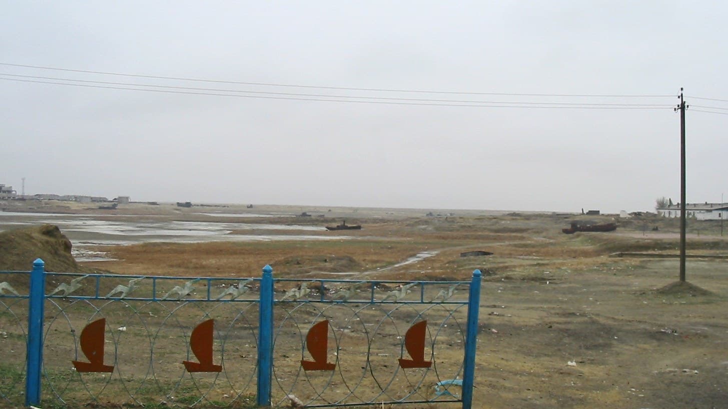
Aralsk Guide
Kyzylorda, Kazakhstan
Former Aral Sea port in Kyzylorda Region, now a rail stop on dry ground
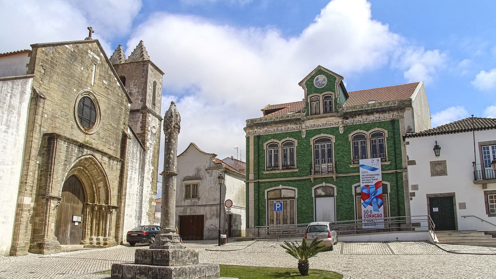
Atouguia da Baleia
Leiria, Portugal
Older Peniche parish: church, castle scraps, Consolação on the sand
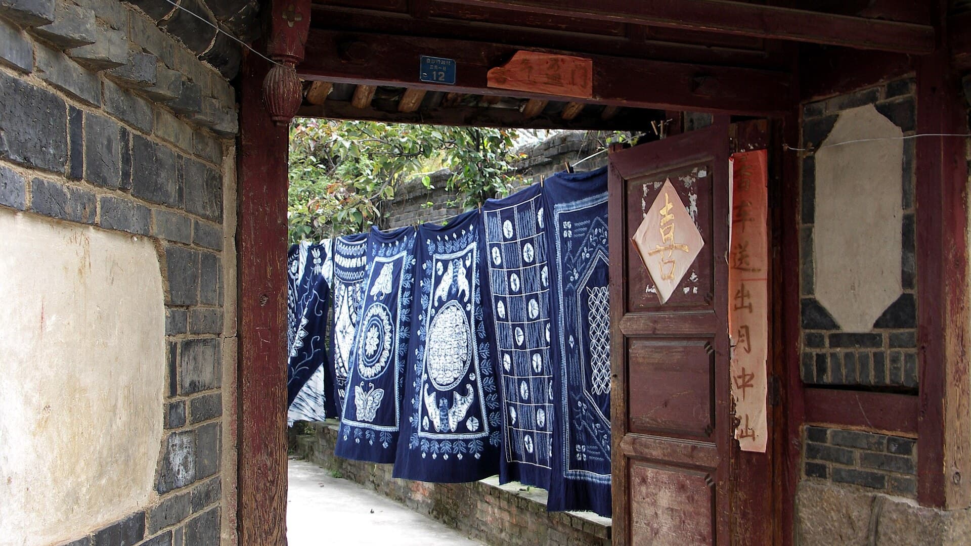
Baisha
Yunnan, China
Naxi town 12 km north of Lijiang Old Town, quieter than Dayan

Save these places to your list
Copy the spots you picked into your list — maps and notes included.