
Baş Göynük Guide
The valley village where the Kish trail comes down
0 selected
Baş Göynük is a large village in Shaki District, Azerbaijan, and it closes the Kish stage of the Transcaucasian Trail at its western end. A road ties it to Shaki and to Bash Layisqi, so you can arrive on foot and leave on wheels, or do it the other way round. Markets, places to eat and beds are all here, which is more than the trail itself ever offers you.
The walk in starts in Kish, a cobblestoned village. From there the path winds up through forest to green pastureland and an open ridge. The climb is steady but steep in parts, and a rocky descent drops you into the valley of Baş Göynük. Walked from east to west, the 20.4 km stage gains 1283 m and loses 1352 m, so the way down asks a little more of you than the way up.
Not all of it is mountain. The final stretch follows a mostly flat rocky road, and the last 7 km can turn muddy after rain, with standing water on the flat sections. About 6 km before the village the trail crosses the river, after passing a shepherd hut on the descent. Shepherds herd in these mountains from late spring to early fall, so expect flocks and their dogs on the way. The last section before the village is steep and rocky, so go slowly to avoid a slip.
You can also walk the route the other way. The published hiking notes recommend starting from Baş Göynük and finishing in Kish. From this side the paths are clearly visible and marked, yet the route counts as physically demanding because of its long steep slopes and ascents. The highest point is a pasture called Uzunyaylag, with views over forests, meadows and the surrounding mountains.
Baş Göynük is not only a finish line. Marked trails lead on towards Gumukh and Gashgachay, and together with the Gashgachay to Ilisu route they link Shaki to the Gakh region through the mountains. That makes the village a comfortable stop between two walking days, and a base if you want to string several stages together.
A Goynuk founded by displaced Turks, and a church in Kish
Baş Göynük grew out of Goynuk, a village in Shaki built in the late 16th century and settled by Turks displaced from Ottoman territory. In the early 19th century it was divided into Bash and Ashagi Goynuk, and the Bash half is the one hikers walk down into today. That makes the village far older than the trail that now ends here. People lived in the valley for generations before anyone marked a route to it with red and white blazes, and today it is still a large village with markets, restaurants and guesthouses rather than a trailhead hamlet. The most visible trace of an older past sits at the other end of the route. Kish, where the stage begins, has a historical Albanian church, listed as the Church of Kish in the Transcaucasian Trail notes. Another description of the same route names St. Elishe Church in Kish. Walk up to it before you shoulder your pack, because from there the path leaves the cobblestones and heads into forest. Other traces are more seasonal than stone. Shepherds herd in these mountains between late spring and early fall, and some of their stations have troughs filled by hoses carrying spring water. About 6 km above the river crossing you pass a shepherd hut. It is the only one on the route, and it can serve as a warm shelter. If you want to see both ends of the story in one day, walk from Baş Göynük towards Kish, the direction the hiking notes recommend. You finish at the church, and Kish has hotel or guesthouse beds if the light is gone by then.
Eating in Baş Göynük: Su Sesi and the village markets
Baş Göynük has restaurants and several small markets, and Su Sesi, near the bridge towards Bash Layisqi, is the one named in the trail notes. After 20.4 km of ridge and forest, it is useful to know exactly where you are heading for dinner. Kish offers the same mix: small shops, cafes and restaurants, with guesthouses and hotels shown on the map. Both villages are your only reliable places to eat on this route, since between them you pass just one shepherd hut. If you start in Kish, buy your food there before you climb. Once you are down in the valley, drop your pack and walk to the bridge. Su Sesi sits on the Bash Layisqi side of it, and the flat ground on either side of the bridge is where hikers pitch their tents, so a meal and a camp spot are only a few steps apart. The bridge is also a handy landmark, since it leads towards Bash Layisqi. The markets are the place to restock for what comes next. The stage onwards to Gashgachay is 11.6 km, and the notes mention water in villages before the forest rather than shops, so buy what you need in Baş Göynük before you leave. The trail season runs from May to September, so plan your stock-up around those months.
Minibus from Shaki bazar, or 20.4 km on foot from Kish
Getting to Baş Göynük from Shaki city is simple: minibuses leave from the bazar in Shaki city for the village, and taxis also serve it. Ask at the bazar for the Baş Göynük minibus, and you are on your way. Minibuses start at the bazar, so that is where to head from wherever you stay in Shaki. The road that brings you in also connects the village to Bash Layisqi, which is worth keeping in mind when you read a map. Bash Layisqi is where the stage notes for the onward walk to Gashgachay begin, so the same road serves both directions. The other way in is on foot. The Transcaucasian Trail stage from Kish to Baş Göynük is 20.4 km long, with +1283 m of ascent and -1352 m of descent when walked east to west, and it ends in the village. Expect a full day of walking rather than an easy stroll. The hiking notes suggest doing it in reverse. Take the minibus from Shaki bazar to Baş Göynük first, walk up to Kish, and finish at the church. That way the village is your fresh start rather than your tired end, and you can sort out transport back to Shaki from Kish afterwards. The road from Baş Göynük also leads back to Shaki, so the village is never a dead end.
From Baş Göynük to Gumukh: 7 km by car or on foot
Getting around from Baş Göynük mostly means one direction: it is 7 km to Gumukh village, by car or on foot. From there the marked routes carry on into the mountains towards the Gakh region. The first stretch is asphalt. The start of the stage towards Gumukh is a road walk, and a marshrutka can shorten it if you would rather save your legs for the forest. If you do walk, expect a flat, easy warm-up before the real terrain begins. From Gumukh the marked routes continue: Gumukh to Gashgachay, then Gashgachay to Ilisu. Together they connect Shaki to the Gakh region through the mountains. The stage notes for Baş Göynük, Gumukh and Gashgachay give 11.6 km, with +606 m of ascent and -271 m of descent, and they start from Bash Layisqi. Water on that stage is in the villages before the forest and in Gashgachay, with a spring in the forest marked on the CalTopo map. Flat forested areas along the way are also suitable for camping. Routes can also be combined. The walk between Baş Göynük and Kish links up with the Gashgachay to Gumukh route, so you can build a longer trip around the village without backtracking. If you plan to walk on towards Gumukh the next day, ask about the marshrutka in the village first.
Downloaded tracks, map pins and where to spend in the village
For the Kish stage into Baş Göynük, the most useful thing to have ready is a downloaded GPS track, since many signposts along the way have been taken down. Do it at home or in Shaki, before you set off. The stage is marked with red and white blazes and yellow signposts from the Azerbaijan Tourism Board, but the signposts are patchy. On the first downhill towards the forest, the trail is prone to overgrowth, including giant hogweed, so a track tells you where the path really runs. For beds, guesthouse locations are on OpenStreetMaps, although asking locals by guesthouse or owner name may be easier. On the Gashgachay stage, the CalTopo map marks a spring in the forest, which is worth saving before you leave the village. Where your money goes depends on where you stop. Kish, Baş Göynük and Ilisu are the three places on this stretch with hotel or guesthouse accommodation. Baş Göynük also has the Hilal Boutique Hotel, and camping by the river is the alternative if you would rather not pay for a bed. Since the Gashgachay stage is 11.6 km, saving its track at the same time costs you nothing. In the village itself, you can spend at the small markets and at restaurants such as Su Sesi, and in Kish at the small shops, cafes and restaurants.
Water, season and sheepdogs: answers for the Kish stage
The Kish stage is a long day of 20.4 km, and two things need planning: water and weather. The questions below cover what to settle before you leave Kish. When is the best time to walk it? May to September is the best season. The route is possible all year, but winter, spring and autumn need careful weather checks and camping gear, since short winter days make finishing in one day risky. Is it hot, or wet? Expect frequent sudden summer thunderstorms and intense midsummer heat. Start very early and rest in the afternoon. Where do I get water? Fill up at the village water station in Kish, because there are no water sources on the way until a hose-fed trough near a shepherd shelter at the base of the descent. Carry at least 1.5-2 litres. Piped village water is safe to drink, while streams should be filtered because of livestock. Where do I sleep in Baş Göynük? Choose between guesthouses and the Hilal Boutique Hotel, or camp on flat ground near the river on either side of the bridge. Wild camping is largely tolerated along the route, though curious locals may visit a conspicuous tent. Bash Layisqi has no known guesthouses, so stay in Baş Göynük. Do I need a permit, and what should I watch for? No prior permission is needed, since the route avoids protected areas and the border protection zone, but show your documents if you meet border guards. Take care around shepherd dogs, and remember that the only shepherd hut can serve as a warm shelter.
FAQ
What is covered in the Baş Göynük guide?
Plan your walk to Baş Göynük in Shaki District: the 20.4 km stage from Kish, water stops, guesthouses, riverside camping and the minibus from Shaki bazar. It includes 0 recommended places.
Next →How many places are in the Baş Göynük guide?
The Baş Göynük guide lists 0 recommended places.
Next →Where is Baş Göynük?
Baş Göynük is in Baş Göynük, Shaki District, Azerbaijan (41.3228, 47.1133).
Next →How do you get to Baş Göynük?
Getting to Baş Göynük from Shaki city is simple: minibuses leave from the bazar in Shaki city for the village, and taxis also serve it. Ask at the bazar for the Baş Göynük minibus, and you are on your way. Minibuses start at the bazar, so that is where to head from wherever you stay in Shaki. The road that brings y…
Next →What should you eat in Baş Göynük?
Baş Göynük has restaurants and several small markets, and Su Sesi, near the bridge towards Bash Layisqi, is the one named in the trail notes. After 20.4 km of ridge and forest, it is useful to know exactly where you are heading for dinner. Kish offers the same mix: small shops, cafes and restaurants, with guesthous…
Next →Is there camping in Baş Göynük?
No camping listings in this pack yet — we do not invent venues. Entries will appear once verified.
Next →Can you rent a bike in Baş Göynük?
No bike rental listings in this pack yet. Verified shops will be added when available.
Next →Explore on the map
Tap a pin to highlight its place card
All
1 spots
Recommended places
Related guides
Browse nearby destinations
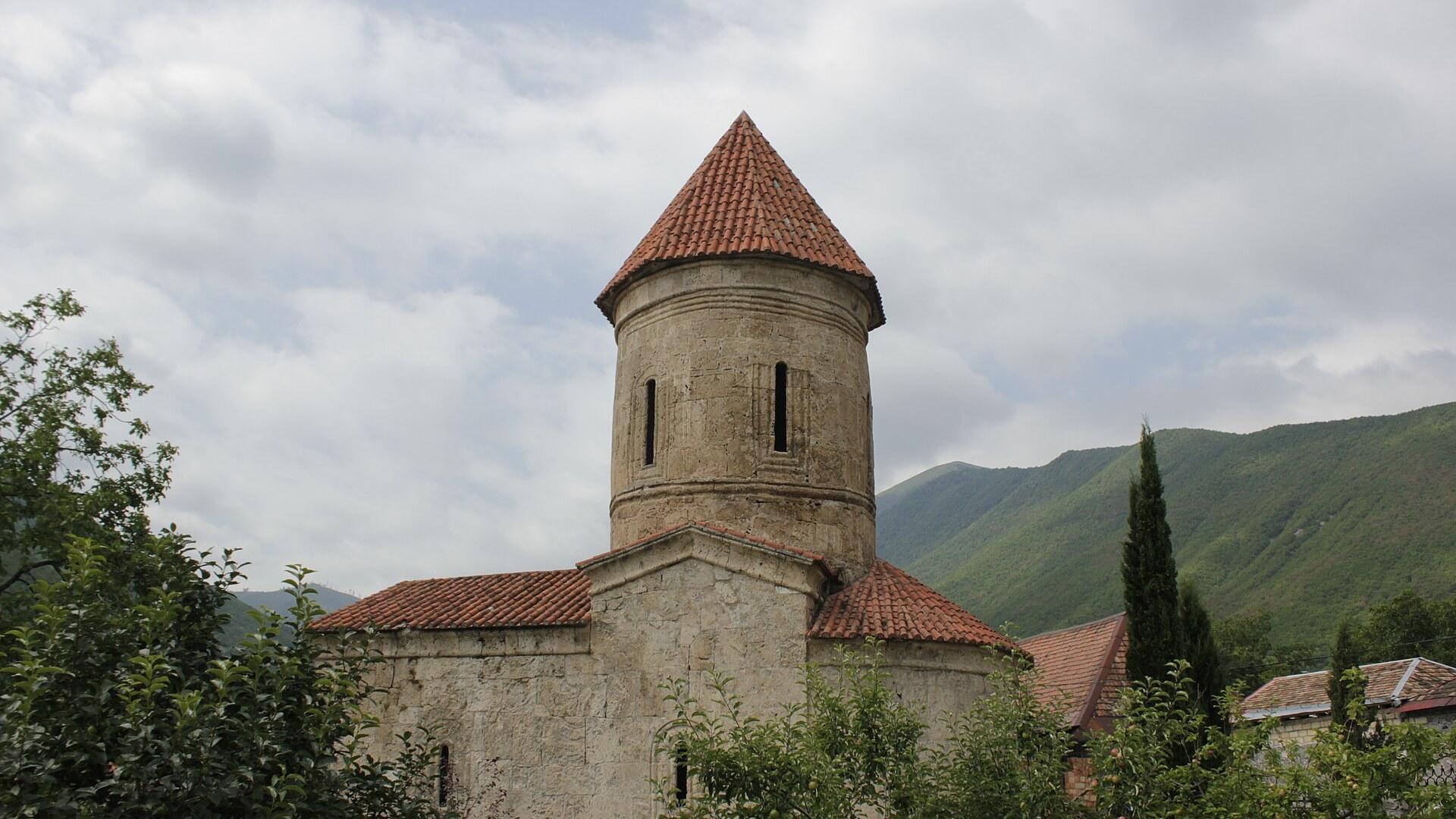
Kish Guide
Shaki District, Azerbaijan
A hilltop church village above Sheki
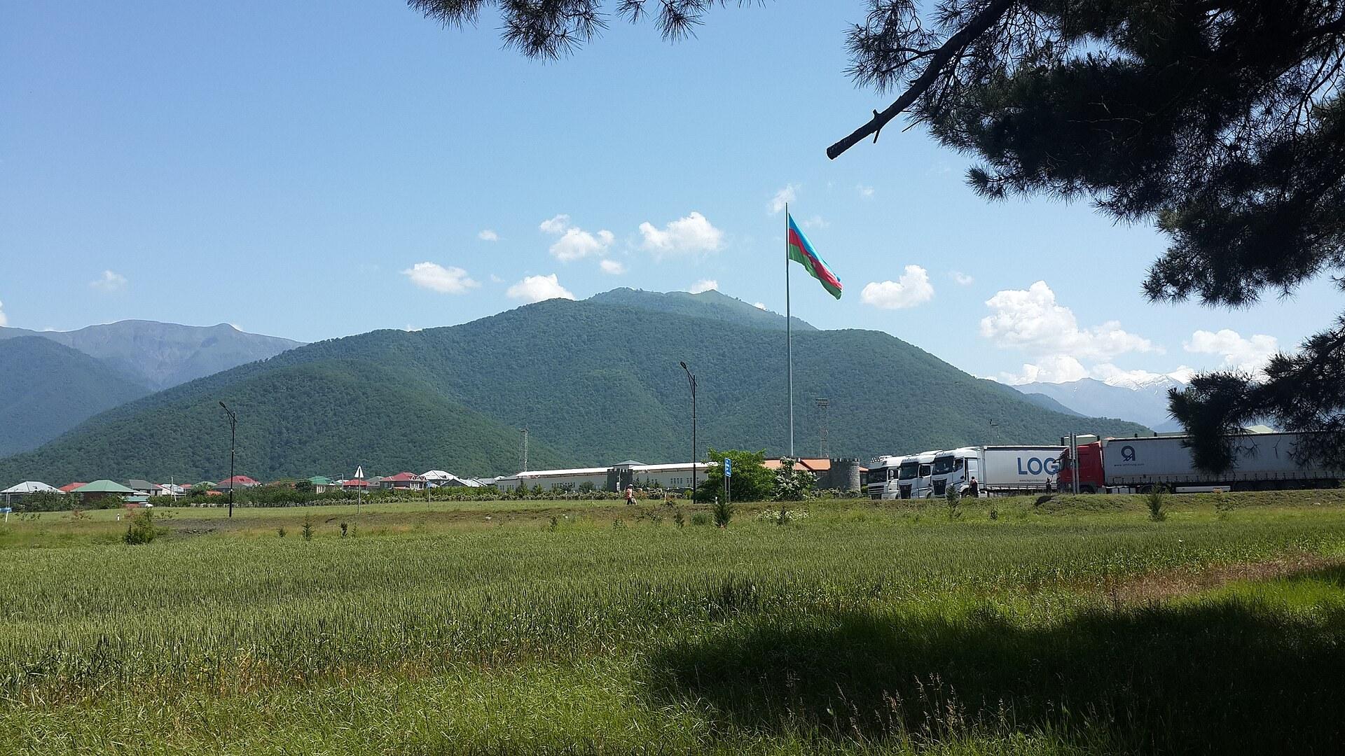
Ilisu Guide
Qakh District, Azerbaijan
Waterfall hikes and stone towers above Gakh
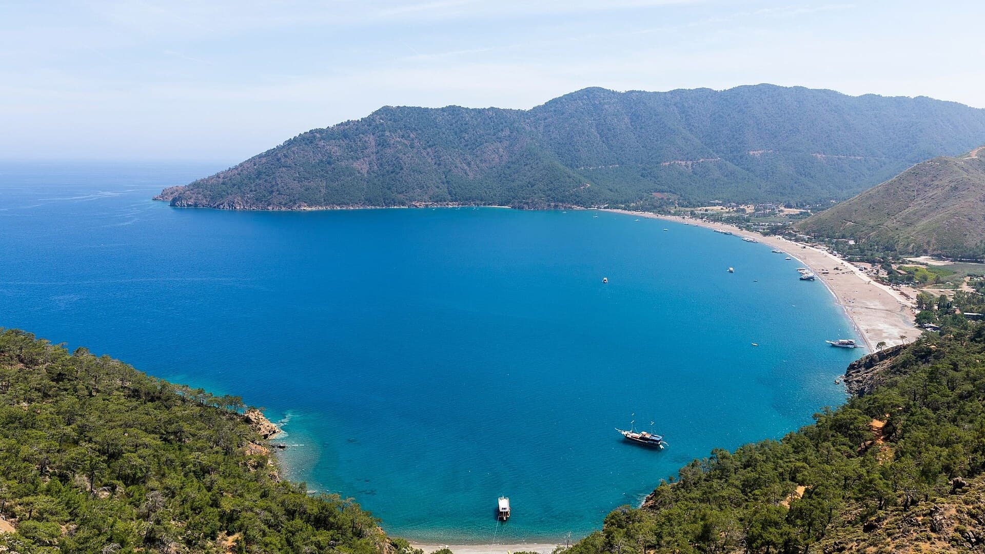
Adrasan
Antalya, TR
A pine-backed bay where the days move slowly
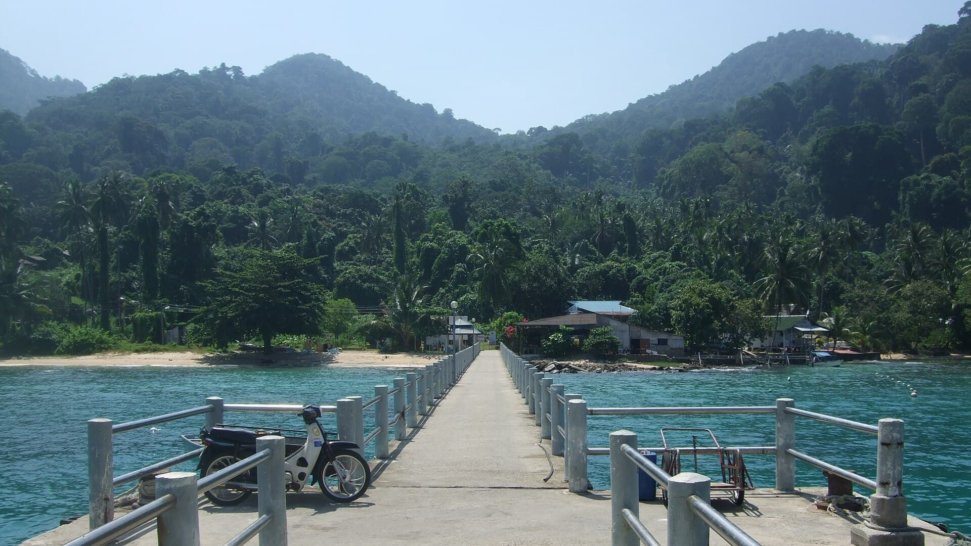
Air Batang
Pahang, Malaysia
A car-free Tioman village for divers and walkers
Akyaka
Muğla, Türkiye
Azmak boats, kitesurf wind and wooden balconies
Aralsk Guide
Kyzylorda, Kazakhstan
The sea left, the ships stayed

Save these places to your list
Copy the spots you picked into your list — maps and notes included.