
Murs Guide
Plague wall, château and walking paths above Gordes
1 selected
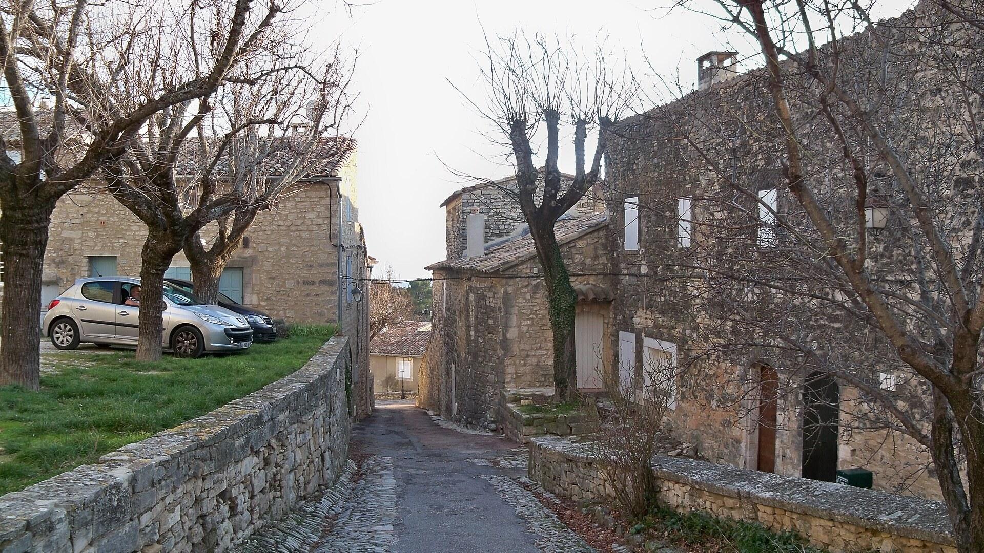
Murs sits on the slopes of the Monts de Vaucluse, in the northern part of the Parc naturel régional du Luberon, in the Provence-Alpes-Côte d'Azur region of southeastern France. Some maps call it Murs en Provence. The commune describes a historic village surrounded by hills, plains, gorges and forests, and the village does stand over all of them like a sentinel. Gordes is 8 km away, but the pace here is different.
Provence Guide calls Murs a very peaceful village and says it is best explored on foot. Begin with the Chapelle Notre-Dame-de-Salut, Romanesque in origin and rebuilt in the 17th century, and with the Romanesque church of Saint-Loup. Provence Guide also lists the château, with its fortified enclosure and round towers, among the sights. The house where Louis des Balbes de Berton de Crillon was born, the general of King Henri IV known simply as Crillon, stands in Murs as well and dates from the 13th century.
The roads explain a lot about the village. Murs lies at the crossroads of the roads from Gordes to Sault and from Venasque to Apt, which is 17 km away. Its neighbouring communes are Lioux, Joucas, Gordes, Venasque and Méthamis, and with a car those names make an easy chain of stops.
The hills are the real attraction. Walking circuits run through the Gorges de Véroncle, where the remains of old mills can be seen, and another circuit follows the Combe de Vaumale near Murs. On the path from the Jas de Laurent to the Grande Blaque, caves hide in the small cliffs to the right of the trail, and a large ancient oak stands below the village. The ground underfoot is limestone, and the woods are oak, the landscape the Luberon park is known for.
Murs also lies in the Côtes du Ventoux wine-growing area, protected by the AOC designation. Village life keeps its own calendar too: the traditional fêtes votives take place in July and August, each village holding its own on the same dates every year, with a concert, meals and children's entertainment over 3 days. Plan around those dates if you want the village at its liveliest.
From Ligurian hilltop to plague wall: the story of Murs
Murs has been settled since the Middle Palaeolithic, and each era from Ligurian oppidum to plague-time lockdown left something you can still find around the village. Flint was mined here in the Neolithic. Around 750 BC Ligurians built an oppidum on the hill, the Romans later built a castrum at the crossroads settlement, and from the 5th century Burgundians and then Franks settled there. The Agoult family held Murs from 1004 and built a castle from the 12th century; in 1462 the Astouaud family took it over and extended it. Provence Guide describes the 13th-century château with its fortified enclosure and round towers as a sight to see, while German Wikipedia dates it mostly to the 15th century and says it is privately owned. Treat it as something to admire from outside unless a sign says otherwise. In the Middle Ages Murs sheltered Waldensians, many of whom died in a massacre in 1545. The 16th century brought several water mills, which ran until the end of the 19th century; the Moulins de la Véroncle show how water power was used from the 15th to the 19th century. Most buildings that still stand, at least as foundations, went up between 1600 and 1680, including the chapel of Notre-Dame du Salut in 1625. In the 19th century charcoal burners decimated the forests around the village. The 1720 plague is the episode locals still point to. A 25 km wall was raised to protect the papal Comtat Venaissin to the north, and Murs was the last village of Provence before it, with its people enclosed between the wall and the epidemic coming from the south. The dry-stone Mur de la Peste crosses the territory of Murs to the north, so a walk in that direction takes you to it. Armed men from Murs were sent to Apt on 8 October 1720 in vain, Roussillon fell on 17 November, and the village gates stayed shut and guarded day and night. In June 1721 the plague reached Joucas.
A shared table among the vines near Murs
The meal to plan around near Murs is at the Domaine de la Tuilière, which in summer welcomes guests in the evening for a local dinner at a table set among the vines, facing the Luberon. You eat with around ten fellow diners, so it is a small, shared table rather than a restaurant floor. Arrange it ahead instead of turning up hoping for a seat. The glass in your hand fits the setting. Murs lies in the Côtes du Ventoux wine-growing area, protected by the AOC designation, and the vines grow on limestone soils at the edge of the Luberon park. The domaine is the easiest way to connect the landscape you walked through with something on the plate. The other eating occasion is the calendar. During the fêtes votives in July and August, the village organises meals alongside a concert and children's entertainment, over 3 days. Dates are the same every year, so ask locally which weekend applies. If you want more choice than a village this size offers, Gordes is 8 km away and Apt 17 km.
Reaching Murs by road from Gordes or Apt
Murs lies 8 km from Gordes and 17 km from Apt, at the crossroads of the road from Gordes to Sault and the road from Venasque to Apt, so you arrive on one of those two routes. The village stands on the slopes of the Monts de Vaucluse rather than on the plain, which means the last stretch climbs. If you come from the Gordes side, the 8 km are short on the map but slower on a hill road than the number suggests. From Apt the 17 km take you along the other arm of the crossroads. The neighbouring communes are Lioux, Joucas, Venasque and Méthamis besides Gordes, and they make natural halves of a day: Murs in the morning, one of its neighbours after. A car is the realistic way to arrive, and it also lets you reach the trailheads for the Gorges de Véroncle and the Combe de Vaumale. Park at the edge of the village and walk in.
On foot through Murs and out onto the trails
Murs is best explored on foot, and the village is a place to wander slowly rather than to cross by vehicle. Everything worth seeing, from the Chapelle Notre-Dame-de-Salut to the church of Saint-Loup and the château with its round towers, sits within the village or just beside it. Beyond the last houses the walking continues. The circuits of the Gorges de Véroncle lead past the remains of old mills, the circuit of the Combe de Vaumale starts near Murs, and the path from the Jas de Laurent to the Grande Blaque passes caves in the small cliffs and a large ancient oak below the village. Pick one circuit per outing rather than combining them. To go further you need wheels. Gordes is 8 km away, Apt 17 km, and the Mur de la Peste crosses the territory to the north, so a short drive combined with a walk gets you to it. Taxis or rentals in the area are best sorted in Gordes or Apt before you arrive.
Euros, errands and phone signal around Murs
Murs uses the euro, like the rest of France, and as a small village it is better to sort out money and shopping in Gordes, 8 km away, or in Apt, 17 km away, than to count on finding everything on the spot. For the evening meal at the Domaine de la Tuilière or the meals at the fêtes votives in July and August, ask how payment works when you arrange your place. A small shared table among the vines is not somewhere to discover at the end of the evening that you needed cash. Phone signal is another thing to think about in a landscape of gorges and combes. Signal can come and go once you drop below the village into the Gorges de Véroncle or the Combe de Vaumale, so decide your route at the trailhead instead of on the move. Mobile data from an EU plan roams normally within the EU, which covers France.
Practical questions about visiting Murs
Murs rewards slow visits. A quiet village, a handful of historic buildings and walking paths in several directions make for a half day or a full one, depending on how much you walk. Can I go inside the château? Sources disagree. Provence Guide treats the château with its fortified enclosure and round towers as a sight, while German Wikipedia says it is in private ownership. Plan to see it from outside. When is the village at its liveliest? During the fêtes votives in July and August, which last 3 days and include a concert, meals and children's entertainment. Each village holds its own on the same dates every year. Where can I walk? The Gorges de Véroncle circuits pass old mills, the Combe de Vaumale circuit is near Murs, and the path from the Jas de Laurent to the Grande Blaque has small cliffs with caves on its right side. What is the Mur de la Peste? A dry-stone wall built in 1720, part of a 25 km line raised against the plague, and it crosses the territory of Murs to the north. Murs was the last village of Provence before it. Is it worth a stop from Gordes? It is only 8 km away, and the tone is calmer. Combine the village with one walk and the Chapelle Notre-Dame-de-Salut.
FAQ
What is covered in the Murs guide?
Explore Murs in the Luberon: a Vaucluse village with a château, Waldensian history, a 1720 plague wall, old mills and walking trails near Gordes. It includes 1 recommendations across 1 gallery.
Next →How many places are in the Murs guide?
The Murs guide lists 1 places: 1 gallery.
Next →Where is Murs?
Murs is in Murs, Provence-Alpes-Côte d'Azur, France (43.9518, 5.2416).
Next →How do you get to Murs?
Murs lies 8 km from Gordes and 17 km from Apt, at the crossroads of the road from Gordes to Sault and the road from Venasque to Apt, so you arrive on one of those two routes. The village stands on the slopes of the Monts de Vaucluse rather than on the plain, which means the last stretch climbs. If you come from the…
Next →What should you eat in Murs?
The meal to plan around near Murs is at the Domaine de la Tuilière, which in summer welcomes guests in the evening for a local dinner at a table set among the vines, facing the Luberon. You eat with around ten fellow diners, so it is a small, shared table rather than a restaurant floor. Arrange it ahead instead of t…
Next →Is there camping in Murs?
No camping listings in this pack yet — we do not invent venues. Entries will appear once verified.
Next →Can you rent a bike in Murs?
No bike rental listings in this pack yet. Verified shops will be added when available.
Next →What are recommended gallery in Murs?
Highlighted gallery in the Murs guide: A stone lane in Murs.
Next →Highlighted places
- A stone lane in Murs — A cobbled lane between stone houses and dry-stone walls in the village of Murs in the Vaucluse.
Explore on the map
Tap a pin to highlight its place card
All
1 spots
Recommended places
Gallery
1 · 1 selected
A stone lane in Murs
gallery
Related guides
Browse nearby destinations
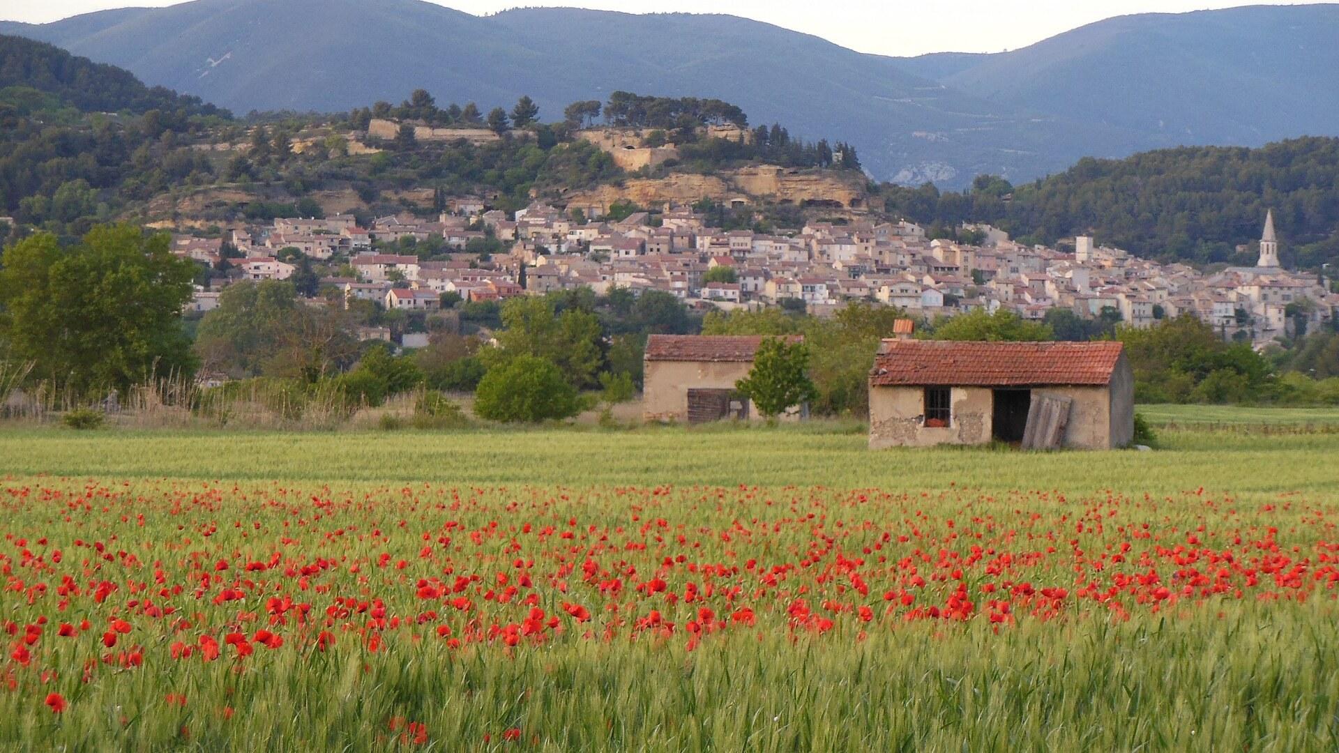
Cadenet Guide
Provence-Alpes-Côte d'Azur, France
Castle ruins, troglodyte caves and a Monday market
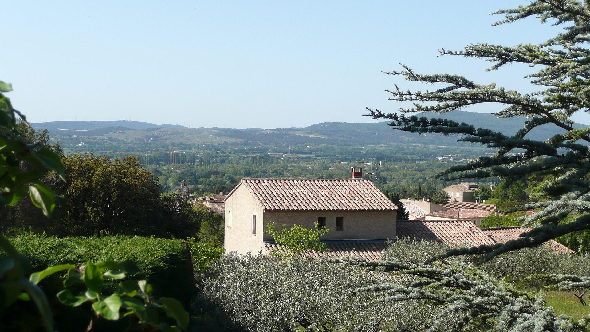
Mérindol Guide
Provence-Alpes-Côte d'Azur, France
Waldensian memory above the Durance plain
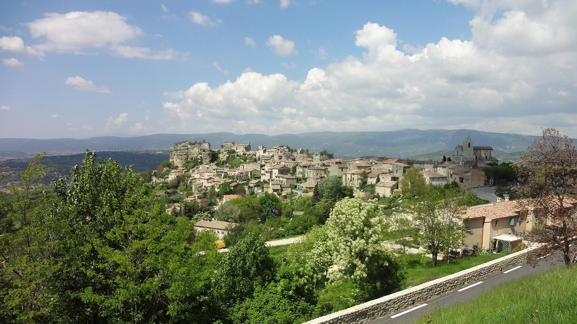
Saignon Guide
Provence-Alpes-Côte d'Azur, France
A quiet hilltop village above Apt with a rock for a viewpoint
Auray Guide
Brittany, France
Two towns on one river, joined by a stone bridge
Camaret-sur-Mer Guide
Brittany, France
Fishing harbour, tower and sea stacks at Brittany's western tip

Cap-d'Ail Guide
Alpes-Maritimes, France
The Riviera's quiet back door to Monaco

Save these places to your list
Copy the spots you picked into your list — maps and notes included.